Audience
Educators
Grade Levels
Grades 9-12
Subject
Earth Science, Mathematics, Weather and Climate, Measurement and Data Analysis
Type
Data Sets
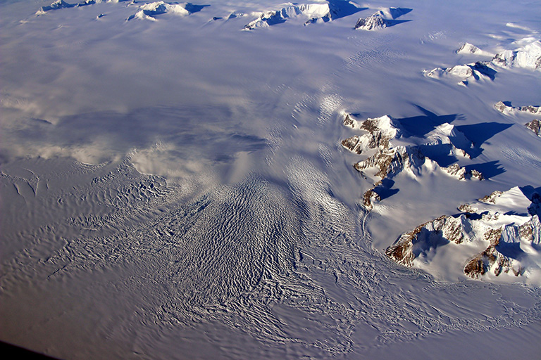
These two data sets show changes in the mass of the Greenland and Antarctic ice sheets from 2002 to 2022, relative to 2002. An ice sheet is a dome-shaped glacier mass exceeding 50,000 square kilometers. The world’s ice sheets are confined to Greenland and Antarctica. These white, bright ice sheets help cool our planet by reflecting solar radiation back into space. Ice sheets also contain vast stores of freshwater. GRACE and GRACE-FO satellites identify how much ice sheets and glaciers are shrinking.
DATASHEET: Greenland and Anarctica Ice Sheet Mass (2002-2022) Dataset
Greenland and Antarctica Ice Sheet Mass Spreadsheet
Related Resource
Rising Waters: Out-of-Balance Ice Sheets – Greenland and Antarctica are home to most of the world’s glacial ice – including its only two ice sheets – making them areas of particular interest to scientists. Combined, the two regions also contain enough ice, that if it were to melt all at once, would raise sea levels by nearly 215 feet (65 meters) – making the study and understanding of them not just interesting, but crucial to our near-term adaptability and our long term survival in a changing world.


