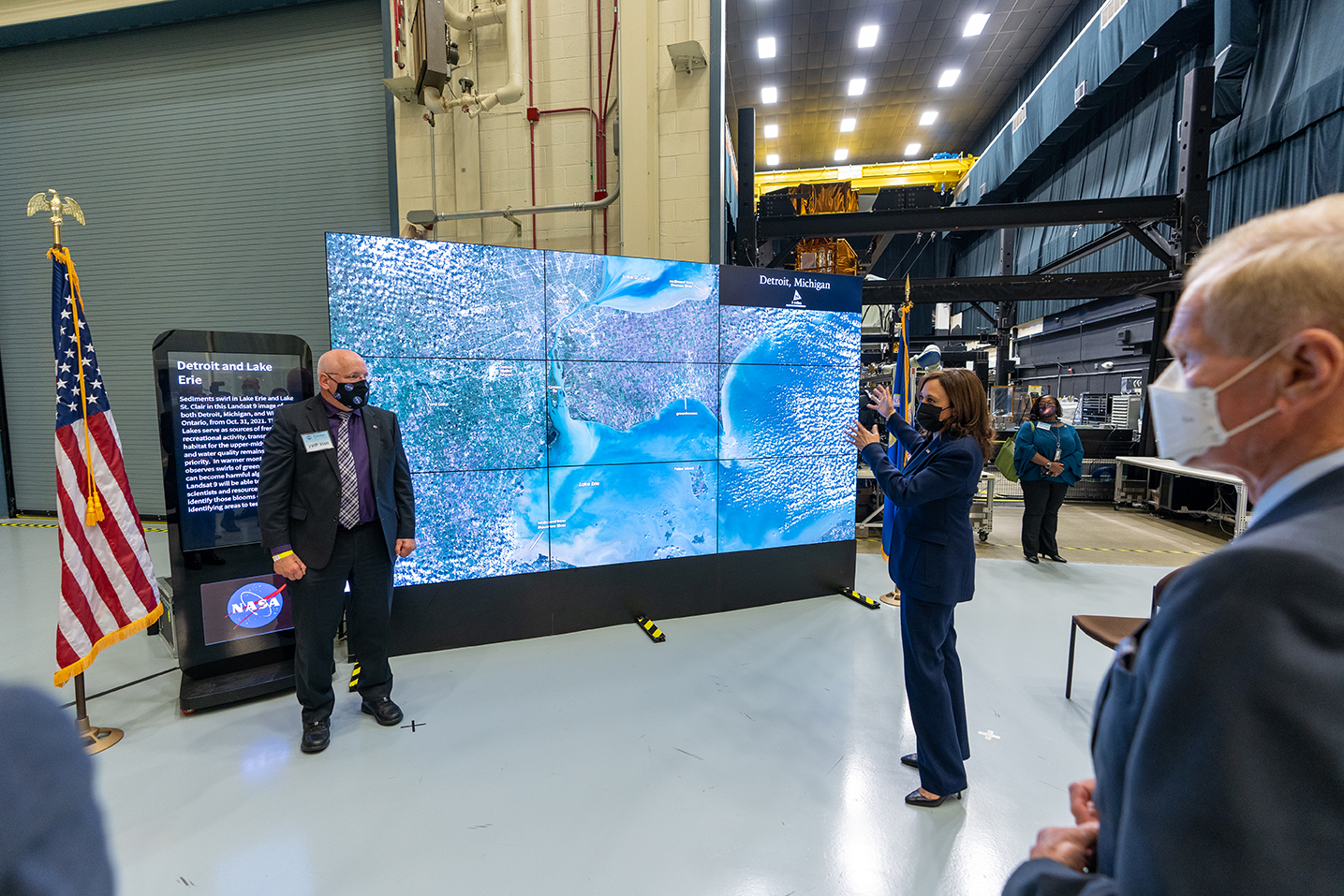
The urgency of Earth science and climate studies took the spotlight Friday as Vice President Kamala Harris visited NASA’s Goddard Space Flight Center in Greenbelt, Maryland. The vice president received a firsthand look at how the nation’s space program studies climate change and provides crucial information to understand our planet’s changes and their impacts on our lives.
During the visit, NASA Administrator Bill Nelson unveiled the first images from Landsat 9, a joint mission of NASA and the U.S. Geological Survey (USGS) launched in late September. The images show Detroit with neighboring Lake St. Clair, a changing Florida coastline, and areas of Navajo Country in Arizona. They will add to the wealth of data helping us monitor crop health and water used for irrigation, manage vital natural resources, and track the impacts of climate change.
The new images, all acquired Oct. 31, also provide data about the changing landscapes of the Himalayas and Australia, adding to Landsat’s unparalleled data record that spans nearly 50 years of space-based Earth observation.
“I truly believe space activity is climate action. Space activity is education. Space activity is also economic growth. It is also innovation and inspiration. And it is about our security and our strength,” the vice president said. “When it comes to our space activity, there is limitless potential. … So, as we go forth from here, let us continue to seize the opportunity of space.”
Harris and Nelson also discussed NASA’s announcement of a new Earth Venture Mission-3 (EVM-3). Investigation of Convective Updrafts (INCUS) will study how tropical storms and thunderstorms develop and intensify, which will help improve weather and climate models.
“Our NASA experts today provided us a sweeping look at the many ways we need to understand our planet better, from drought and urban heat, to our oceans and the many landscapes we can see changing from the heavens,” said Nelson. “The Biden-Harris Administration is committed to making real progress on the climate crisis to benefit the next generation, and NASA is at the heart of that work.”
NASA, along with the National Oceanic and Atmospheric Administration (NOAA) and USGS, is among the federal agencies that conduct climate research and provide climate data critical for agencies and organizations worldwide. Extreme weather and climate events – including droughts, floods, and wildfires – are becoming regular occurrences. Insights from space help us study our planet as a unified system to understand these phenomena and benefit people where they live.
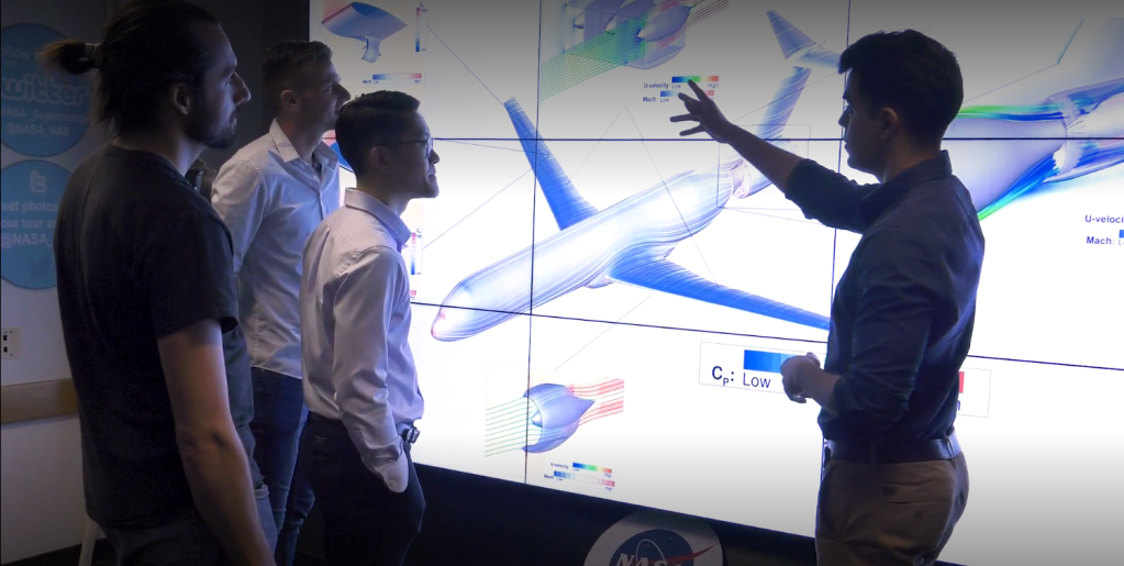
The vice president met with scientists and engineers to discuss how NASA’s broad portfolio of Earth science missions helps address the climate challenges facing our world.
NASA’s wide-ranging Earth science activities include satellites operated in partnership with other agencies. Those include NOAA and USGS, which also had representatives on hand to meet with Harris.
“Now in its sixth decade, the NOAA-NASA partnership puts the world’s best technology in space to improve the nation’s ability to monitor and predict Earth’s climate and weather,” said NOAA Administrator Rick Spinrad, Ph.D. “Teams of NOAA and NASA experts co-located at NASA Goddard are advancing our nation’s next-generation of geostationary satellites, called GOES-R, which produce essential data for accurate and timely forecasts that save lives and help people adapt to climate change.”
“Landsat 9’s compelling images and underlying scientific data will help Interior to better manage our nation’s lands and resources, preserve our cultural heritage, honor our trust responsibilities with Native Americans and indigenous peoples, and address the climate crisis,” said Tanya Trujillo, the Department of the Interior’s assistant secretary for water and science. “Every day, the nearly 50-year Landsat data archive managed and freely shared by USGS is providing new insights and decision-support for government officials, educators, and businesses to better understand and sustainably manage our changing landscapes.”
During her visit, Harris operated a robotic arm undergoing testing for a future in-orbit refueling mission of the Landsat 7 satellite. That satellite currently is studying Earth as part of the Landsat fleet.
Harris also visited the Plankton, Aerosol, Cloud, ocean Ecosystem (PACE) mission, which involves an instrument currently under construction at Goddard for a 2022 launch. PACE will advance assessment capabilities for ocean health by measuring the distribution of phytoplankton – tiny plants and algae that sustain the marine food web. The GOES-R program, whose GOES-T satellite is scheduled to launch for NOAA in February 2022 to improve weather forecasts, was also showcased.
Learn more about NASA’s Earth science work at:
-end-
Jackie McGuinness
Headquarters, Washington
202-358-1600
jackie.mcguinness@nasa.gov

