


Ocean Science Missions & Projects at Ames
active projects
11
subject matter experts
4
NASA Ames poc
Juan Torres-Pèrez
Internet of Animals (IOA)
IOA is a pre-formulation mission study with two objectives, to architect a next-generation space-based animal tracking system and to understand how NASA can combine animal telemetry data with Earth observations to achieve its scientific objectives. Under the second objective, the IOA team at Ames Research Center are studying how biologgers on great frigatebirds (Fregata minor) can reveal the dynamics of the planetary boundary layer (PBL) with data that are difficult to obtain solely from satellite-based measurements. The dynamics of the PBL mediate interaction between the atmosphere and the surface of the Earth and influence climate, weather, and air quality. Understanding the dynamics of the PBL is a scientific objective of NASA and the target of future satellite missions.
Click here to learn more about IOA about Internet of Animals (IOA)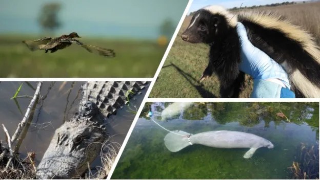
FATE: dFAD Trajectory Tool
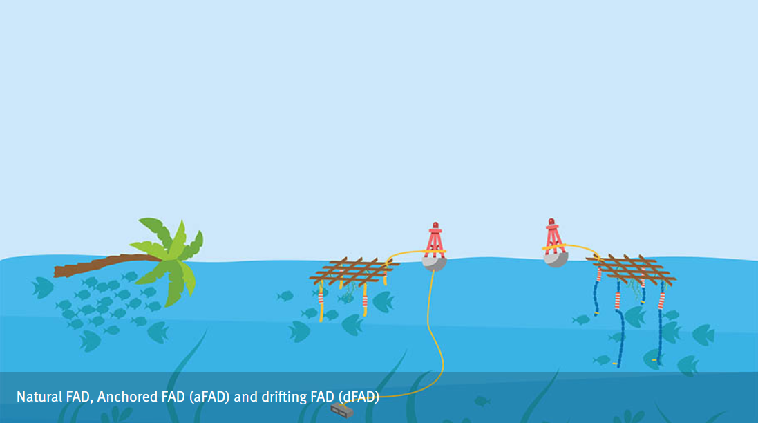
FATE will quantify dFAD (drifting fish aggregating devices) activity in relation to ocean currents, fish biomass, and animal telemetry at Palmyra Atoll, which is a U.S. Fish and Wildlife Service (USFWS) National Wildlife Refuge and is part of the U.S. Pacific Remote Islands Marine National Monument (PRIMNM) in the central Pacific Ocean. This innovative decision support tool will use NASA observations and numerical models to predict future dFAD trajectories and inform resource managers whether they should deploy tactical resources (boats, personnel) to monitor, intercept, or retrieve dFADs that have entered the MPA.
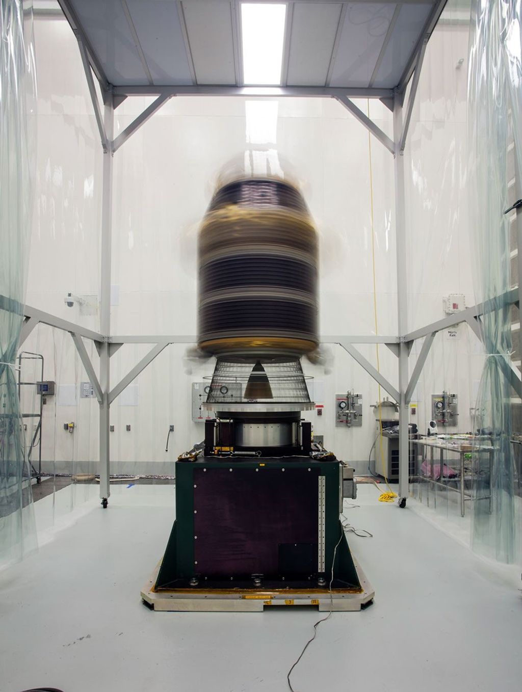
SeaSTAR
SeaSTAR aims to provide multi-spectral aerosol optical depth (AOD) and aerosol optical properties using a custom-built robotic sun/sky photometer. The instrument is designed to operate from a ship and is planned to deploy aboard the NOAA research vessel RV Shearwater in September 2024 to support the PACE-PAX airborne campaign.
Click here to learn more about SeaSTAR about SeaSTAR
PACE Validation Science Team Project: AirSHARP
Airborne asSessment of Hyperspectral Aerosol optical depth and water-leaving Reflectance Product Performance for PACE
The goal of AirSHARP is to provide high fidelity spatial coverage and spectral data for ocean color and aerosol products for validation of the PACE Ocean Color Instrument (OCI). Coastal influences on oceanic waters can produce high optical complexity for remote sensing especially in dynamic waters in both space and time. Dynamic coastal water features include riverine plumes (sediments and pollution), algal blooms, and kelp beds. Further, coastal California has a range of atmospheric conditions related to fires. We will accomplish validation of PACE products by combined airborne and field instrumentation for Monterey Bay, California.
Click here to learn more about AirSHARP about PACE Validation Science Team Project: AirSHARP
Water2Coasts
Watersheds, Water Quality, and Coastal Communities in Puerto Rico
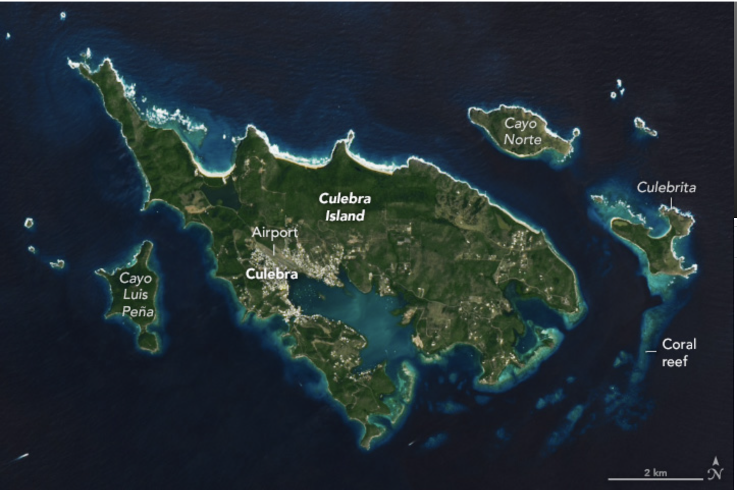
Water2Coasts is an interdisciplinary island landscape to coastal ocean assessment with socioeconomic implications. The goal of Water2Coasts is to conduct a multi-scale, interdisciplinary (i.e., hydrologic, remote sensing, and social) study on how coastal waters of east, and south Puerto Rico are affected by watersheds of varying size, land use, and climate regimes, and how these may in turn induce a variety of still poorly understood effects on coastal and marine ecosystems such as coral reefs and seagrass beds.
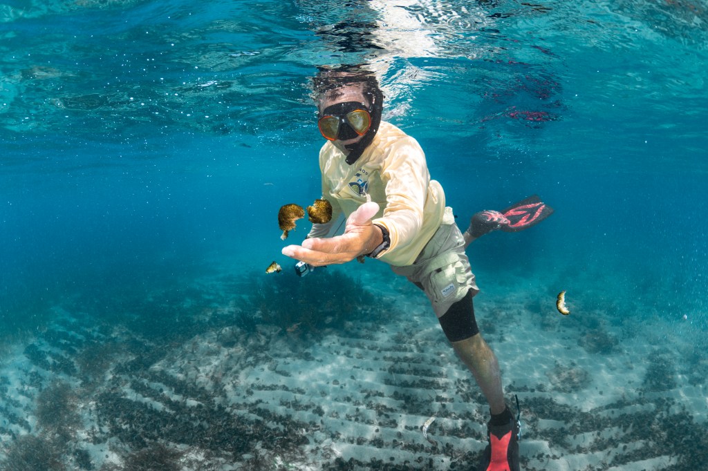
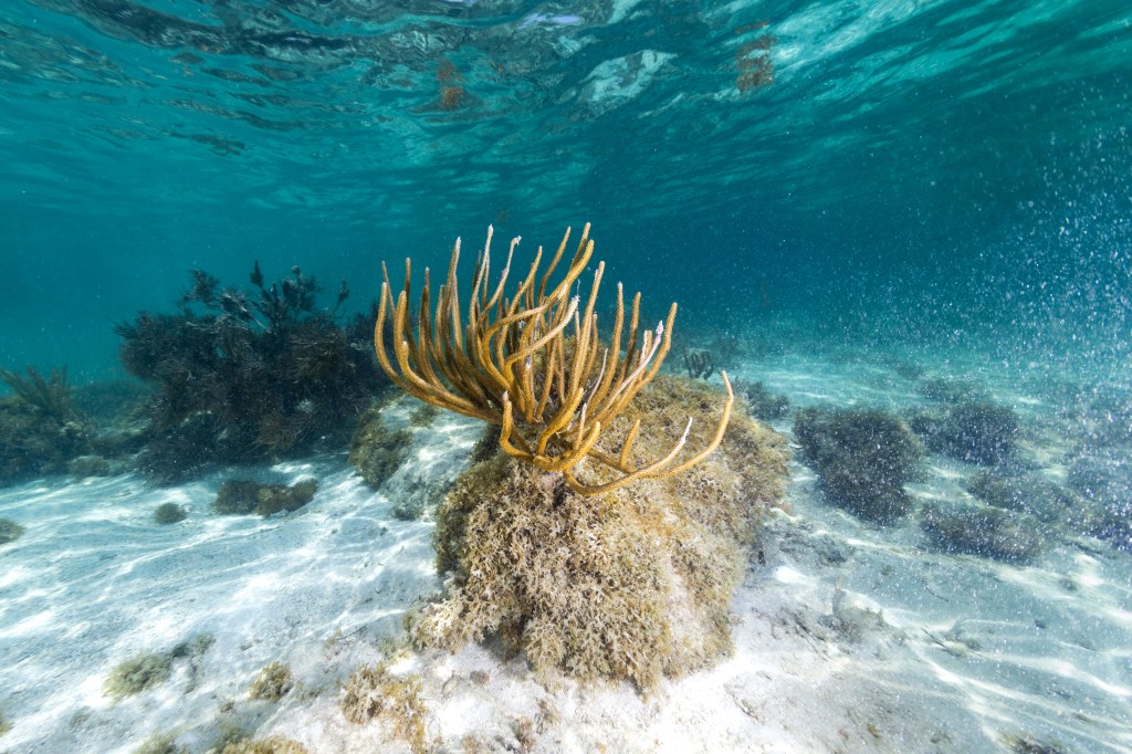
US Coral Reef Task Force (USCRTF)
The USCRTF was established in 1998 by Presidential Executive Order to lead U.S. efforts to preserve and protect coral reef ecosystems. The USCRTF includes leaders of Federal agencies, U.S. States, territories, commonwealths, and Freely Associated States. The USCRTF helps build partnerships, strategies, and support for on-the-ground action to conserve coral reefs. NASA ARC scientists are members of the Steering Committee, Watershed Working Group, and Disease and Disturbance Working Group, and lead the Climate Change Working Group to assist in the use of NASA remote sensing data and tools for coastal studies, including coral reef ecosystems. Data from new and planned hyperspectral missions will advance research in heavily impacted coastal ecosystems.
Click here to learn more about USCRTF about US Coral Reef Task Force (USCRTF)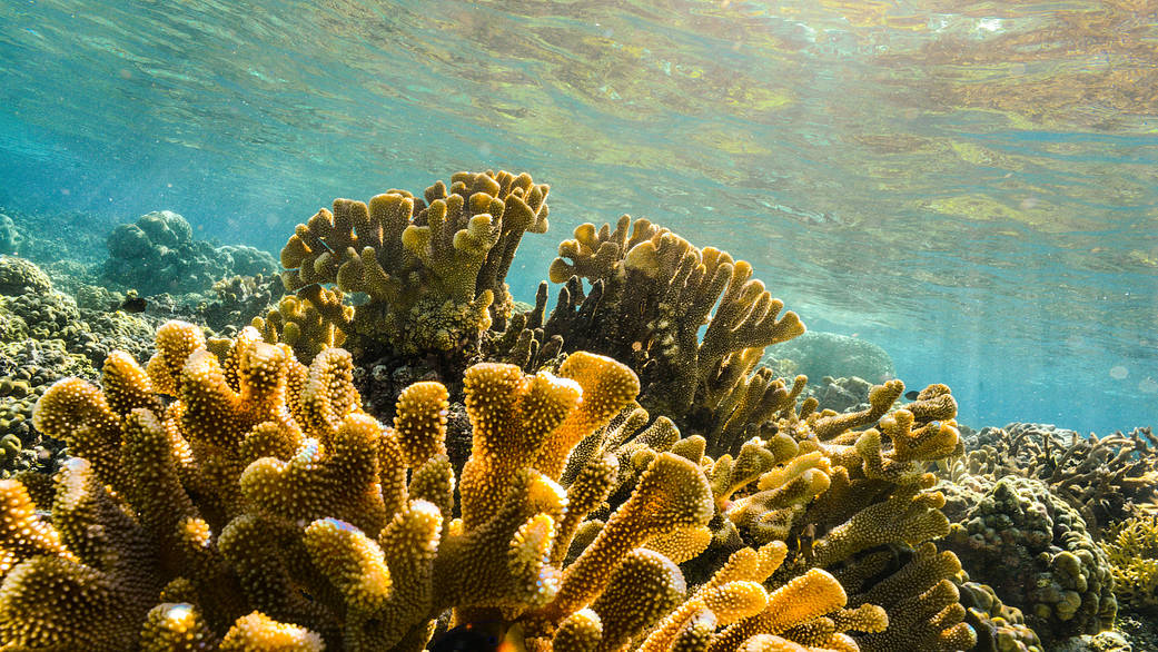
CyanoSCape
Cyanobacteria and surface phytoplankton biodiversity of the Cape freshwater systems
The diversity of phytoplankton is also found in freshwater systems. In Southern Africa, land use change and agricultural practices has hindered hydrological processes and compromised freshwater ecosystems. These impacts are compounded by increasingly variable rainfall and temperature fluctuations associated with climate change posing risks to water quality, food security, and aquatic biodiversity and sustainability. The goal of CyanoSCape is to utilize airborne hyperspectral data and field spectral and water sample data to distinguish phytoplankton biodiversity, including the potentially toxic cyanobacteria.
Click here to learn more about CyanoSCape about CyanoSCape
Marine Carbon Dioxide Removal (mCDR)
The goals of this effort are to conduct literature review, analysis, and ocean simulation to provide scientifically vetted estimates of the impacts, risks, and benefits of various potential mCDR methods.
Click here to learn more about mCDR about Marine Carbon Dioxide Removal (mCDR)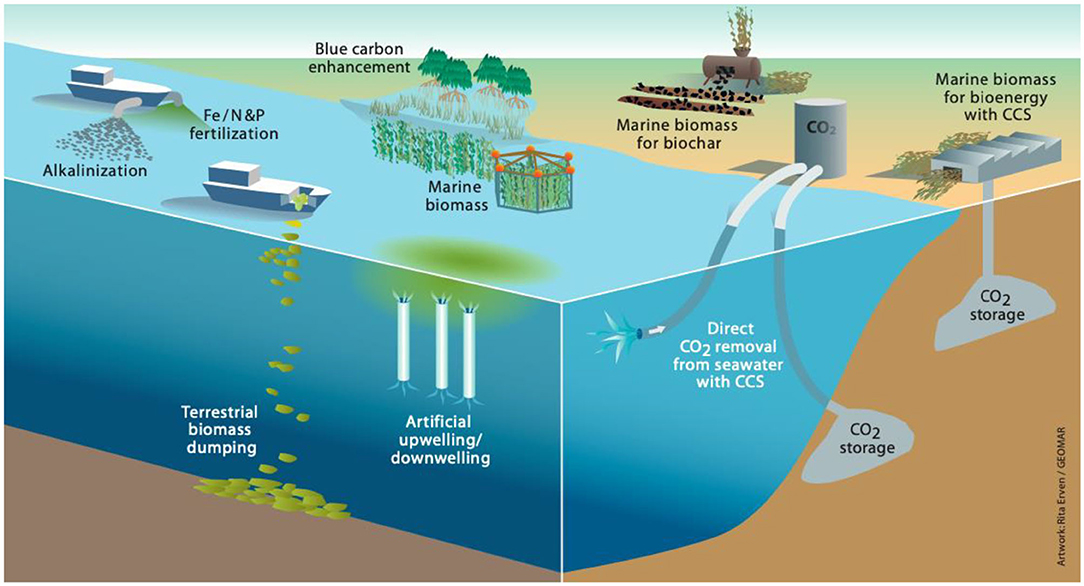
Ocean modeling

Atlantic Meridional Overturning Circulation (AMOC) in a changing climate
The goals of this project are to build scientific understanding of the AMOC physics and its implications for biogeochemical cycles and climate, to assess the representation of AMOC in historical global ocean state estimates, and evaluate future needs for AMOC systems in a changing climate.
Elucidating the role of the ocean circulation in changing North Atlantic Ocean nutrients and biological productivity
This project will conduct analysis of NASA’s ECCO-Darwin ocean biogeochemical state estimate and historical satellite ocean color observations in order to understand the underlying causes for the sharp decline in biological productivity observed in the North Atlantic Ocean.
Integrated GEOS and ECCO Earth system modeling and data assimilation to advance seasonal-to-decadal prediction through improved understanding and representation of air-sea interactions
This analysis will build understanding of upper ocean, air-sea interaction, and climate processes by using data from the SWOT mission and ultra-high-resolution GEOS-ECCO simulations.