Download this video in HD formats from NASA Goddard’s Scientific Visualization Studio
The Global Precipitation Measurement (GPM) Core Observatory captured a 3-D image of a winter storm on Feb. 17, 2015, that left 6 to 12 inches of snow over much of Kentucky, southwestern West Virginia and northwestern North Carolina. The shades of blue indicate rates of snowfall, with more intense snowfall shown in darker blue. Intense rainfall is shown in red. The imagery shows great variation in precipitation types over the southeastern United States.
Download this video in HD formats from NASA Goddard’s Scientific Visualization Studio
At 10:05 a.m. EST on Saturday, Feb. 21, 2015, the Core Observatory flew over a snow storm that covered most of the Washington, D.C., metro area leaving as much as 9 inches of snow in some of the surrounding suburbs.
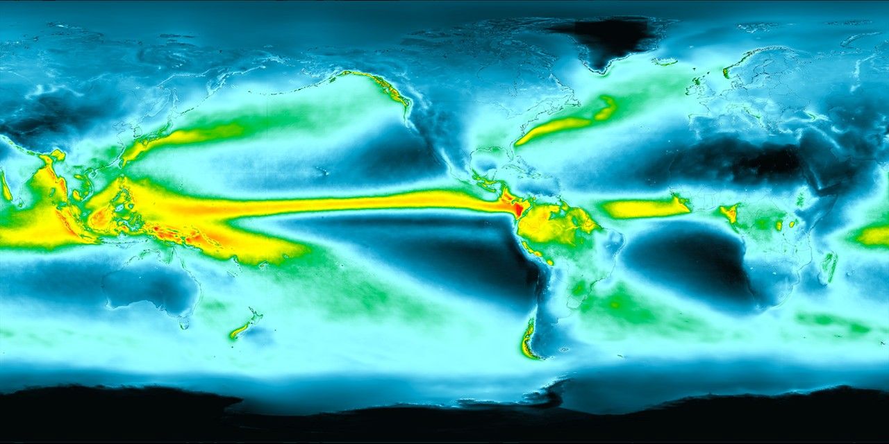
The GPM Core Observatory carries two instruments that show the location and intensity of rain and snow, which constitutes a crucial part of the storm structure – and helps to define how it will develop. The GPM Microwave Imager sees through the tops of clouds to observe how much and where precipitation occurs, while the Dual-frequency Precipitation Radar observes precise details of precipitation in three dimensions.
GPM data is part of the toolbox of satellite data used by forecasters and scientists to understand how storms form. GPM is a joint mission between NASA and the Japan Aerospace Exploration Agency.
Rani Gran
NASA’s Goddard Space Flight Center, Greenbelt, Maryland

