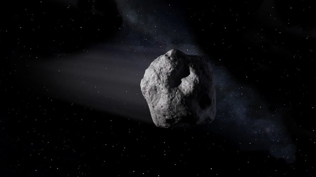
This summer, the OSIRIS-REx spacecraft will undertake NASA’s first-ever attempt to touch the surface of an asteroid, collect a sample of it, and safely back away. But since arriving at asteroid Bennu over a year ago, the mission team has been tackling an unexpected challenge: how to accomplish this feat at an asteroid whose surface is blanketed in building-sized boulders.
Using these hazardous boulders as signposts, the mission team developed a new precision navigation method to overcome the challenge.
Credits: NASA’s Goddard Space Flight Center/Scientific Visualization Studio
This video is in the public domain and can be downloaded from the Scientific Visualization Studio.
The OSIRIS-REx team had originally planned to use a LIDAR system to navigate to Bennu’s surface during the Touch-And-Go (TAG) sample collection event. LIDAR is similar to radar, but it uses laser pulses rather than radio waves to measure distance. The OSIRIS-REx Guidance, Navigation, and Control (GNC) LIDAR is designed to navigate the spacecraft to a relatively hazard-free surface. The mission had originally envisioned a touchdown site 164 ft (50 meters) in diameter, but the largest safe areas on Bennu are much smaller. The biggest site is just 52 ft (16 m) wide, or roughly 10% of the safe area envisioned. The team realized that they needed a more precise navigation technique that would allow the spacecraft to accurately target very small sites while dodging potential hazards.
In the face of this challenge, the OSIRIS-REx team switched to a new navigation method called Natural Feature Tracking (NFT). NFT provides more extensive navigation capabilities than LIDAR, and is key for executing what the team is calling “Bullseye TAG,” which delivers the spacecraft to the much smaller sampling area. As an optical navigation technique, it requires the creation of a high-resolution image catalog onboard the spacecraft.
Earlier this year, the spacecraft made reconnaissance passes over the mission’s primary and backup sample collection sites, designated Nightingale and Osprey, flying as close as 0.4 miles (625 m) over the surface. During these flyovers, the spacecraft collected images from different angles and lighting conditions to complete the NFT image catalog. The team uses this catalog to identify boulders and craters unique to the sample site region, and will upload this information to the spacecraft before the sample collection event. NFT autonomously guides the spacecraft to Bennu’s surface by comparing the onboard image catalog with the real-time navigation images taken during descent. As the spacecraft descends to the surface, NFT updates its predicted point of contact depending on the spacecraft’s position in relation to the landmarks.
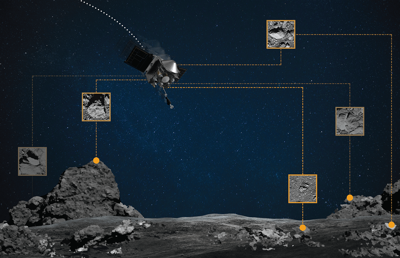
On the ground, team members created “hazard maps” for both the Nightingale and Osprey sites to document all of the surface features that could potentially harm the spacecraft, like large rocks or steep slopes. The team used the image catalog in conjunction with data from the OSIRIS-REx Laser Altimeter (OLA) to create 3D maps that closely model Bennu’s topography. As part of NFT, these maps document boulder heights and crater depths, and guide the spacecraft away from potential hazards while targeting a very small site. During descent, if the spacecraft predicts it will touch unsafe terrain, it will autonomously wave-off and back away from the surface. However, if it sees that the area is free of hazards, it will continue to descend and attempt to collect a sample.
NFT will be used in April to navigate the spacecraft during its first sample collection rehearsal. The operations team performed preliminary testing during the Orbital B mission phase in late 2019, and the results demonstrated that NFT works in real-life conditions as designed. NFT will also be used for navigation during the second rehearsal planned for June.
OSIRIS-REx’s first sample collection attempt is scheduled for late August. The spacecraft will depart Bennu in 2021 and is scheduled to deliver the sample to Earth in September 2023.
NASA’s Goddard Space Flight Center in Greenbelt, Maryland, provides overall mission management, systems engineering, and the safety and mission assurance for OSIRIS-REx. Dante Lauretta of the University of Arizona, Tucson, is the principal investigator, and the University of Arizona also leads the science team and the mission’s science observation planning and data processing. Lockheed Martin Space in Denver built the spacecraft and provides flight operations. Goddard and KinetX Aerospace are responsible for navigating the OSIRIS-REx spacecraft. OSIRIS-REx is the third mission in NASA’s New Frontiers Program, which is managed by NASA’s Marshall Space Flight Center in Huntsville, Alabama, for the agency’s Science Mission Directorate in Washington.
For more information on NASA’s OSIRIS-REx mission, visit:
https://www.nasa.gov/osiris-rex
and
https://www.asteroidmission.org
by Brittany Enos
University of Arizona

