Instrument Development Missions & Projects at Ames
active projects
4
subject matter experts
3
NASA Ames poc
Alok Shrestha
History
MODIS/ASTER Airborne Simulator (MASTER)
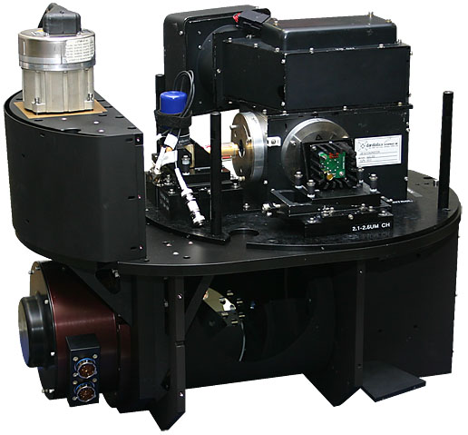
MASTER is a modified Daedalus Wildfire scanning spectrometer which flies on a variety of multiple altitude research aircraft and provides spectral information similar to that which is provided by the Advanced Spaceborne Thermal Emission and Reflection Radiometer (ASTER) and the Moderate Resolution Imaging Spectroradiometer (MODIS) aboard two of NASA Earth Observing System Satellites, TERRA & AQUA.
Click here to learn more about MASTER about MODIS/ASTER Airborne Simulator (MASTER)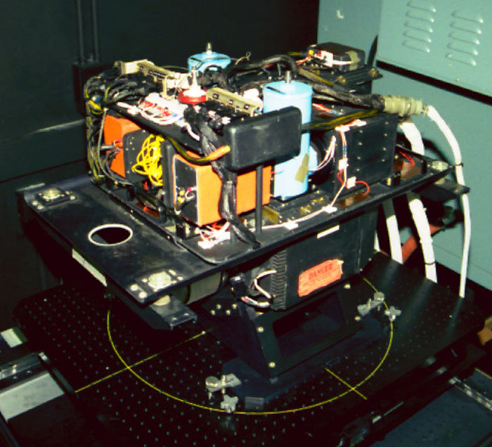
Enhanced MODIS Airborne Simulator (eMAS)
eMAS, similar to MASTER, is a multispectral scanner configured to approximate the MODIS. The eMAS was a joint development project of Daedalus Enterprises, Berkeley Camera Engineering, and Ames Research Center. The eMAS system acquires 50-meter spatial resolution imagery, in 38 spectral bands, from the vantage point of the NASA ER-2 high-altitude (~65000 ft) research aircraft.
Click here to learn more about eMAS about Enhanced MODIS Airborne Simulator (eMAS)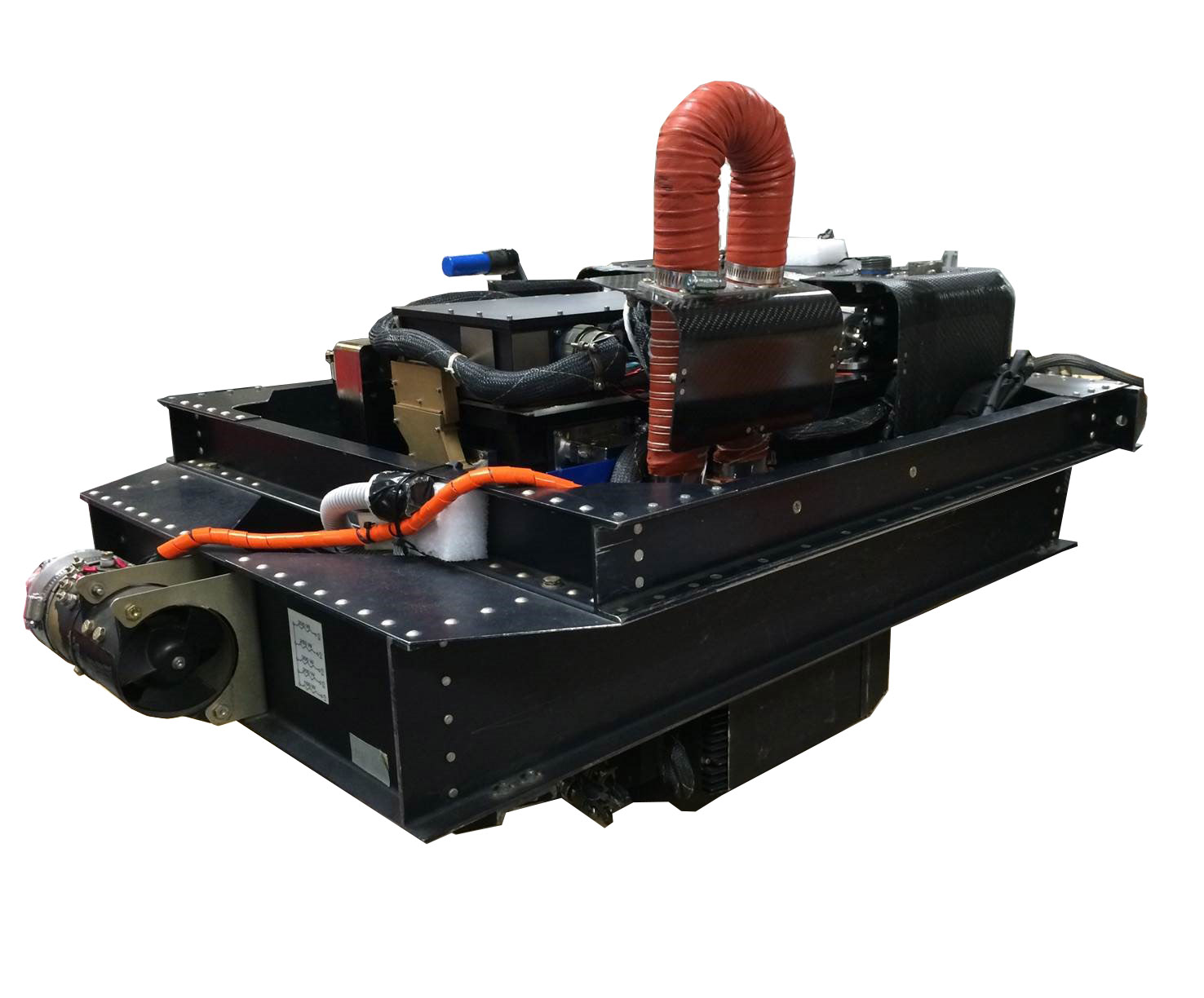
Pushbroom Imager for Cloud and Aerosol Research and Development (PICARD)
PICARD is a VSWIR (Visible to Shortwave Infrared) airborne imaging spectrometer operating over a wavelength range of 400-2500nm. The dual Offner spectrometers are mounted to a single four-mirror anastigmat telescope, designed to produce distortion-free 500 field-of-view over the target. Data acquired by PICARD will be used to simulate existing satellite imager products, validate radiances and geophysical retrieval algorithms and to prototype future imager requirements.
Click here to learn more about PICARD about Pushbroom Imager for Cloud and Aerosol Research and Development (PICARD)
Autonomous Modular Sensor (AMS)
AMS is a multi-configurable airborne scanning spectrometer that acquires high spatial resolution imagery of the Earth’s features. AMS was transferred to the United States Forest Service (USFS) under a 2012 agreement between NASA and the Department of Agriculture and is no longer maintained and operated by the Airborne Sensor Facility.
Click here to learn more about AMS about Autonomous Modular Sensor (AMS)