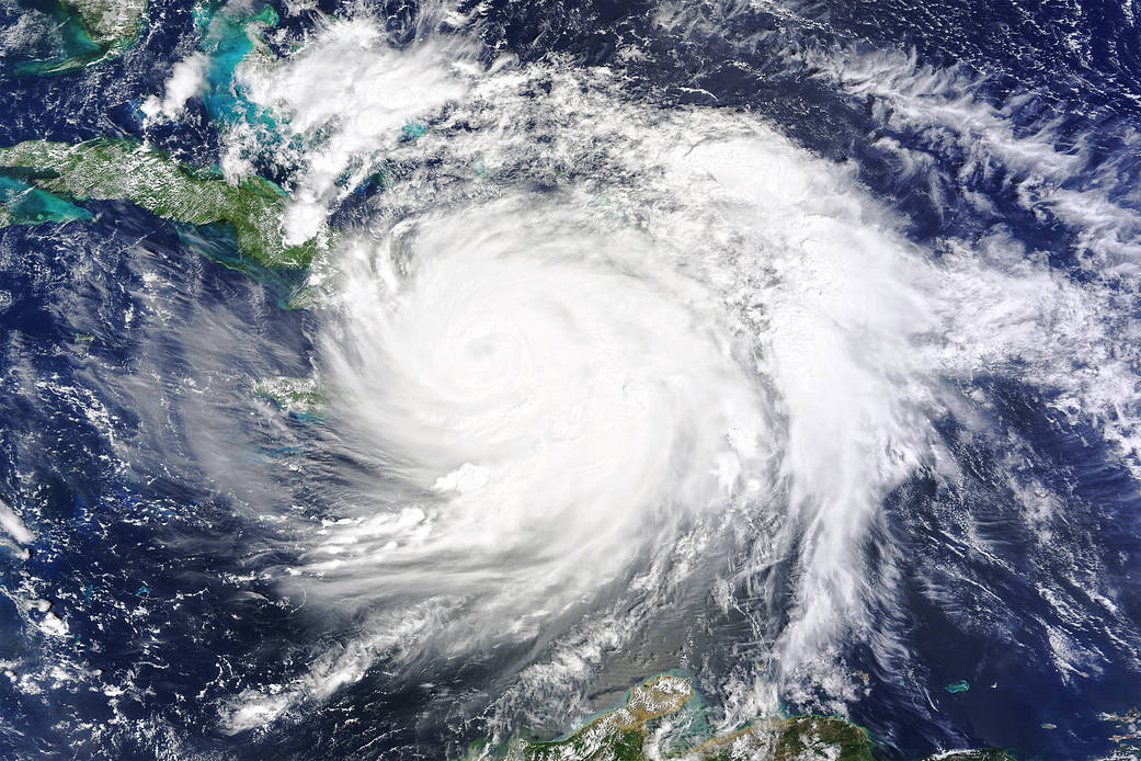
On October 4, 2016, Hurricane Matthew made landfall on southwestern Haiti as a category-4 storm—the strongest storm to hit the Caribbean nation in more than 50 years. Just hours after landfall, the Moderate Resolution Imaging Spectroradiometer (MODIS) on NASA’s Terra satellite acquired this natural-color image. At the time, Matthew had top sustained winds of about 230 kilometers (145 miles) per hour.
Earlier on October 4, temperature data collected by MODIS on NASA’s Aqua satellite revealed that the cloud tops around Matthew were very cold (at least -57° Celsius, or -70° Fahrenheit). Cold cloud tops are known to produce heavy rainfall. The National Hurricane Center called for 380 to 500 millimeters (15 to 20 inches) of rain in Southern Haiti and in the southwestern Dominican Republic.
The interaction with land could weaken the storm somewhat, but wind patterns in the upper atmosphere and the warm water in the tropical Atlantic should help maintain Matthew’s hurricane strength for the rest of the week. The specific path of the storm as it approaches the United States is not yet certain. A direct impact on Florida or the Carolinas remains possible.
Annotated image and references: NASA’s Earth Observatory
NASA Earth Observatory image by Joshua Stevens, using MODIS data from the Land Atmosphere Near real-time Capability for EOS (LANCE)
Caption: Kathryn Hansen

