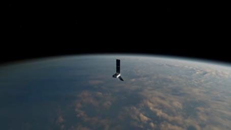
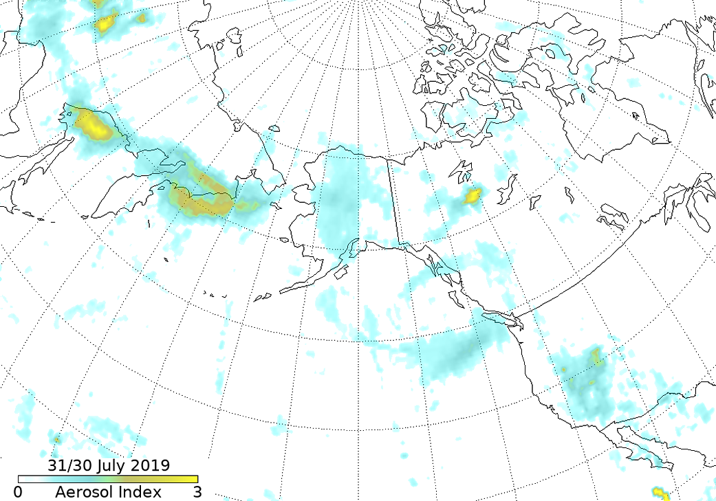
The smoke from the fires in Siberia that were highlighted in the fire and smoke update from July 30, 2019 has spread into Alaska and parts of the west coast of Canada. The tracking of the smoke from those fires was captured by the Ozone Mapping and Profiler Suite of instruments (OMPS) on NOAA/NASA’s Suomi NPP satellite on July 31/30. The first date on the image refers to west of the dateline (the Siberian portion of the image), the second date refers to the U.S./Canadian part. The OMPS’s measurements of harmful ozone (in this case from the fires) improves air quality monitoring. OMPS has two sensors, both new designs, composed of three advanced hyperspectral imaging spectrometers.
“The smoke from the Siberian fires can now be seen stretching across eastern Russia, into Alaska (maybe mixed with smoke from local fires), down the west coast of Canada (and over the eastern Pacific) and, then, over Vancouver and Seattle,” said Colin Seftor, atmospheric scientist at NASA’s Goddard Space Flight Center in Greenbelt, Maryland.
“Smoke from fires burning in the Northwest Territories in Canada can also be seen in the image as well as dust throughout the southwestern US. The area around the Great Salt Lake is quite noticeable,” Seftor commented, “I think this is due to a combination of dust and the reflective characteristics of the salt.”
NOAA/NASA’s Suomi NPP satellite collected this image on July 30/31, 2019. Caption by Lynn Jenner with information from Colin Seftor of NASA.
Suomi NPP is managed by NASA and NOAA.


