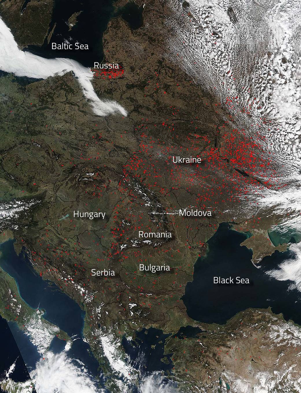
Fires dot the landscape across Eastern Europe in this Suomi NPP satellite image taken by its Visible Infrared Imaging Radiometer Suite (VIIRS) instrument on March 28, 2017.
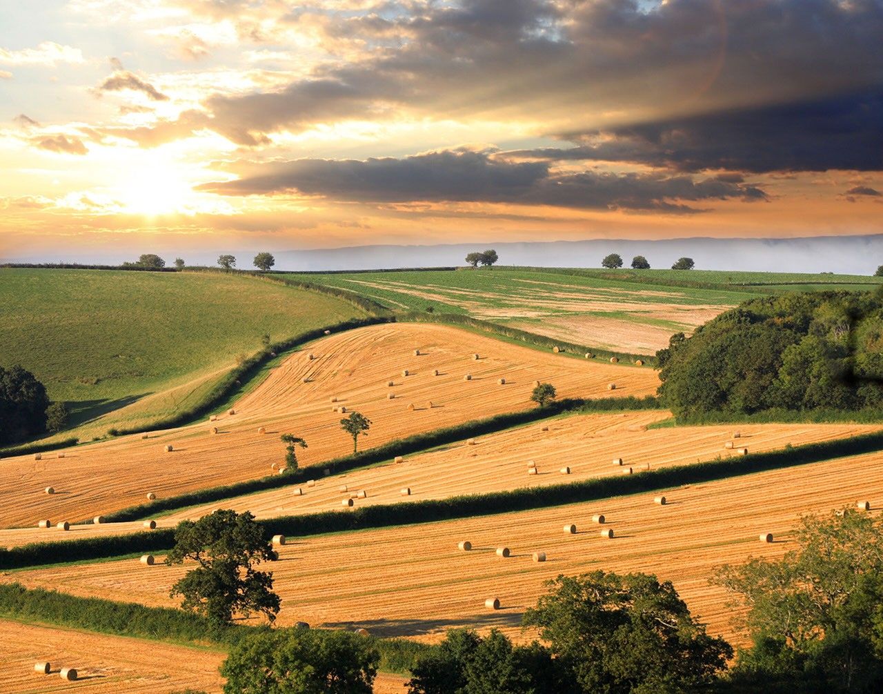
Mostly likely these fires, which are predominantly in Russia and the Ukraine and only dot here and there in the other countries, are most likely agricultural in nature. Actively burning areas, detected by VIIRS are outlined in red. This type of farming is often found in Asia, Indonesia, Eastern Europe, and especially in Brazil where farmers often use fire to return nutrients to the soil and to clear the ground of unwanted plants. While fire helps enhance crops and grasses for pasture, the fires also produce smoke that degrades air quality. In Eastern Europe, the majority of agricultural-based fires occur from March to June with a smaller peak in July and August. There are also cases of agricultural fires that rage out of control turning into wildfires. Some of these areas could be these type of fires as well.
The Suomi NPP satellite is a joint mission between NASA, NOAA and the U.S. Department of Defense.
NASA image courtesy Jeff Schmaltz, MODIS Rapid Response Team. Caption: NASA/Goddard, Lynn Jenner


