


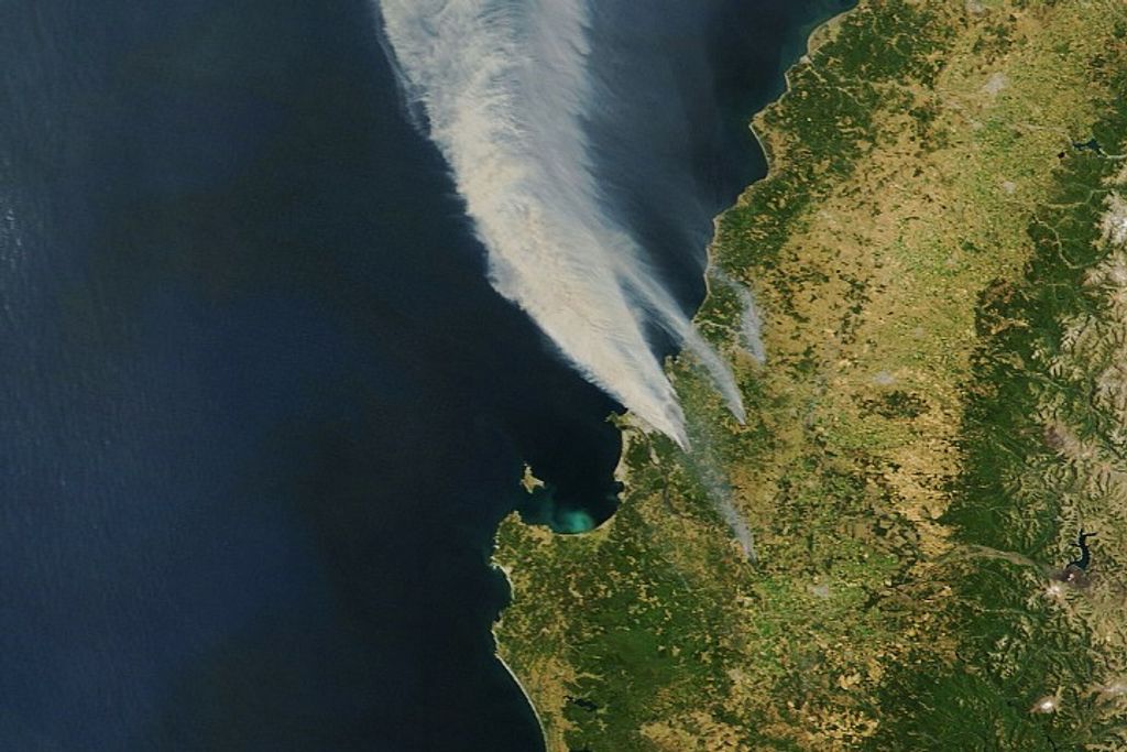


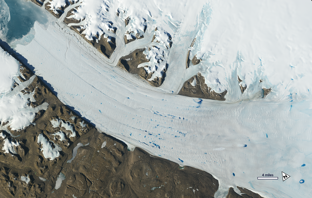
Meltwater lakes form on the surface of Greenland’s Petermann Glacier.
Meltwater lakes form on the surface of Greenland’s Petermann Glacier, seen here in a June 2019 Landsat image. A new study finds that the number – and elevation – of meltwater lakes in Greenalnd is increasing. How do scientists know? Earth’s glaciers and ice sheets as seen from space – some spanning nearly 50 years – are providing scientists with new insights into how the planet’s frozen regions are changing.
Learn More: Ice in Motion: Satellites Capture Decades of Change
Image Credit: NASA/USGS