


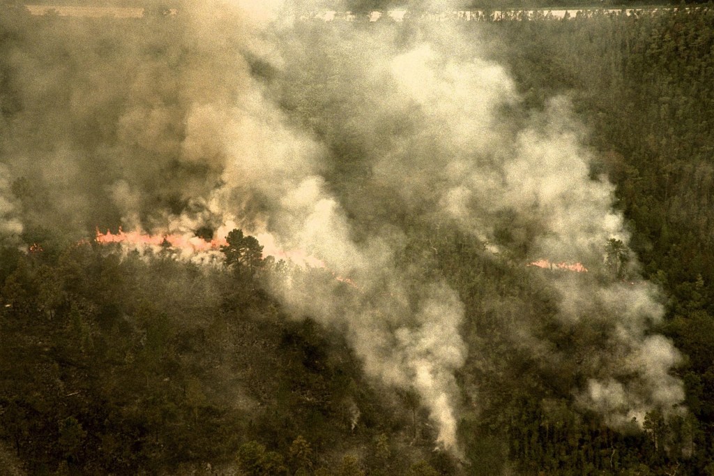


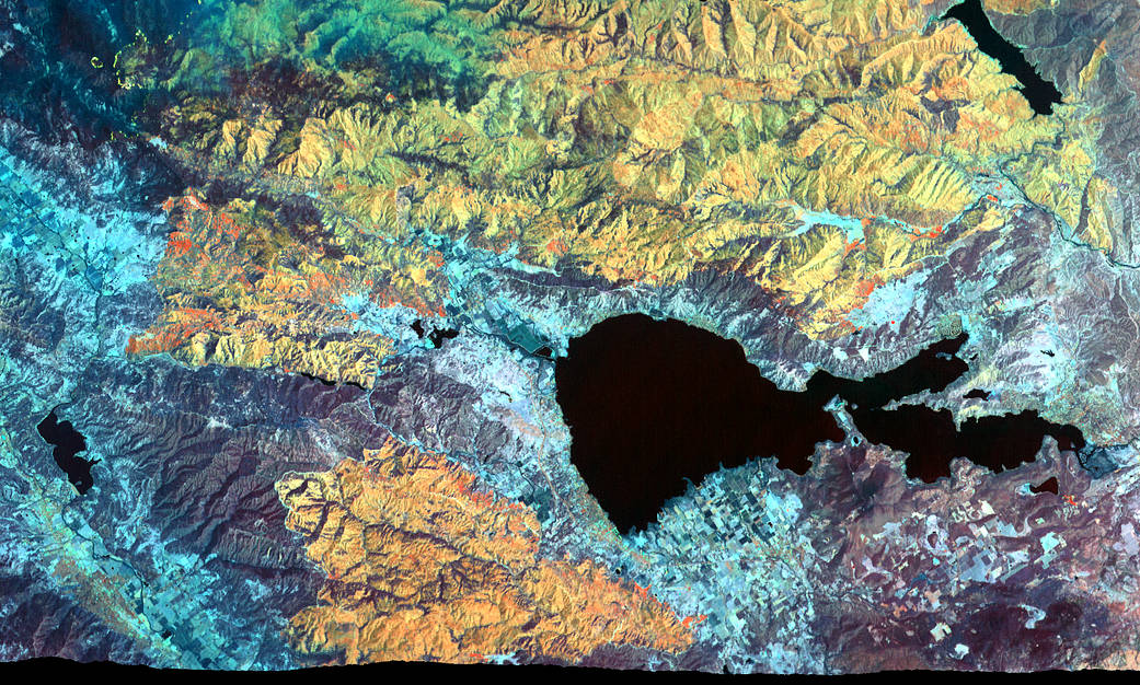
Mapping Record-Setting Wildfire from 65,000 Feet
The Mendocino Complex Fire is now the largest wildfire in California history with well over 350,000 acres burned. This false-color image was captured by an instrument installed aboard a high-altitude NASA research aircraft.
- X
https://www.nasa.gov/image-detail/mapping-record-setting-wildfire-from-65000-feet/
Size1041x626px