Space Shuttle Projects
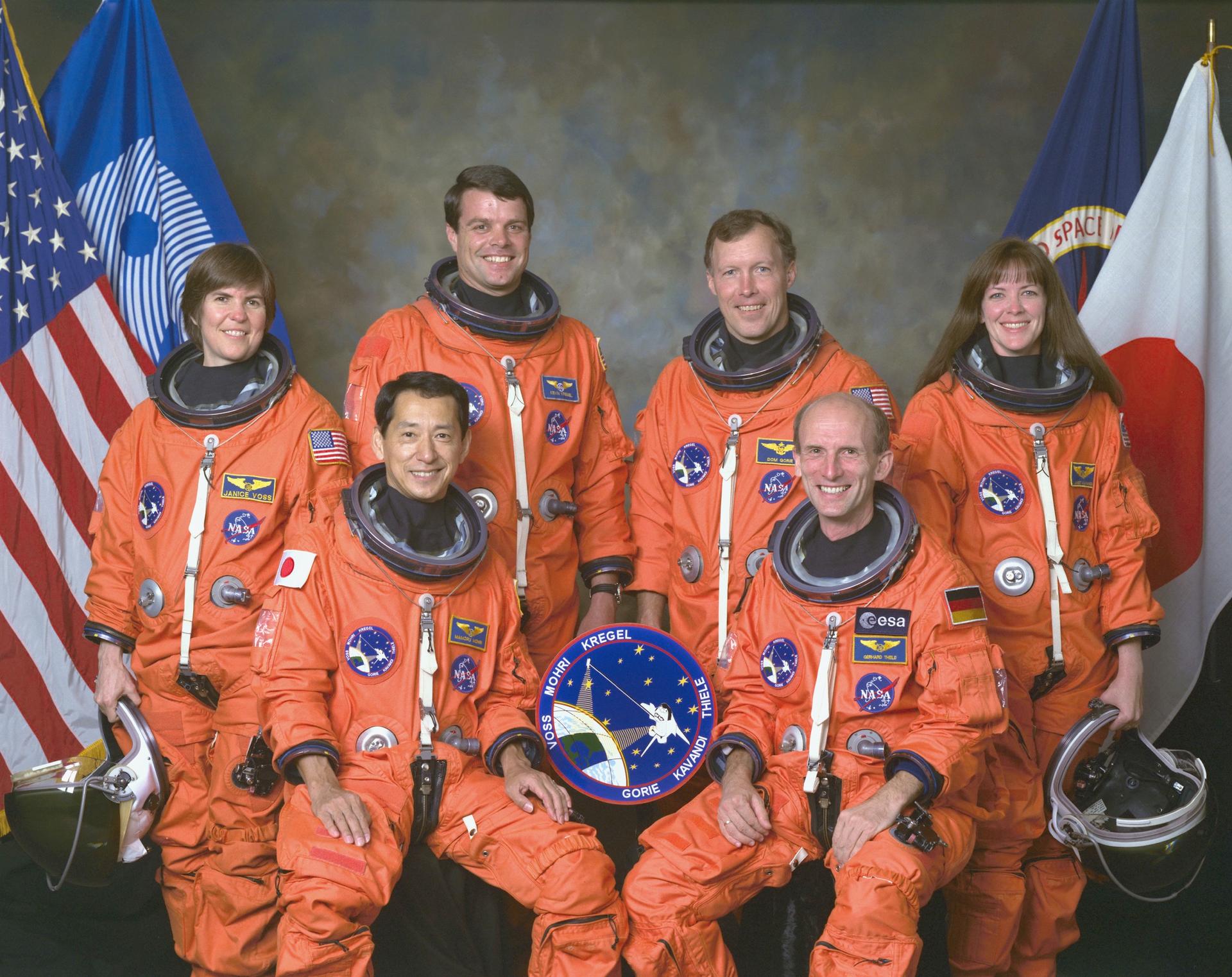
An international crew assigned to STS-99 takes a break from training to pose for the traditional crew portrait at NASA's Johnson Space Center (JSC). In front are international astronauts and mission specialists Mamoru Mohri, representing Japan's Space Agency (NASDA), and Gerhard P. J. Thiele of Germany, representing the European Space Agency (ESA). In back are astronauts Janice Voss, mission specialist; Kevin R. Kregel, mission commander; Dominic L. Gorie, pilot; and Janet L. Kavandi, mission specialist. STS-99 was a Shuttle Radar Topography Mission (SRTM), the most ambitious Earth mapping mission to date. Two radar anternas, one located in the Shuttle bay and the other located on the end of a 60-meter deployable mast, was used during the mission to map Earth's features. The goal was to provide a 3-dimensional topographic map of the world's surface up to the Arctic and Antarctic Circles. Launched aboard the Space Shuttle Endeavor on February 11, 2000, the 11-day mission provided enough information to fill more than 20,000 CDs.
- X

