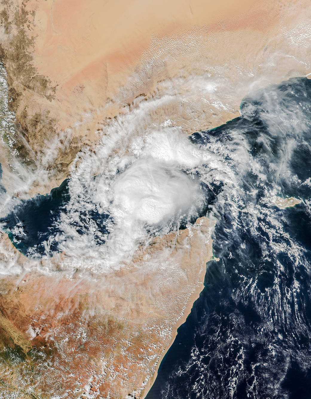
For the second time in a week, a major cyclone moved toward the Arabian Peninsula and the nation of Yemen. To have a cyclone or hurricane hit any nation twice in a week is not a common occurrence; to have two storms to hit one region of the Middle East is unprecedented. Only three cyclones have made landfall on the Peninsula across six decades of records.
Cyclone Megh has already battered Socotra, an island off the Yemeni coast in the Arabian Sea. The storm passed over the island on Nov. 8, 2015, with estimated wind speeds approaching 125 miles per hour. U.S. Navy forecasters predict that Megh will make landfall near Aden, on the mainland of Yemen, on November 10. The winds are likely to be tropical storm force by then, though the system should drop copious amounts of rain on the desert nation. Rainfall last week led to extensive flooding in central and eastern Yemen.
The Visible Infrared Imaging Radiometer Suite (VIIRS) on the Suomi NPP satellite acquired this view of Cyclone Megh in the narrow Gulf of Aden at 2:05 p.m. local time (10:05 Universal Time) on Nov. 9, 2015. At the time, the cyclone had sustained winds of approximately 75 knots (85 miles or 140 kilometers per hour).
Image Credit: NASA/Jeff Schmaltz


