


Using satellite and other remote-sensing topographical data from NASA, Radar Technologies International developed software that can locate underground water.
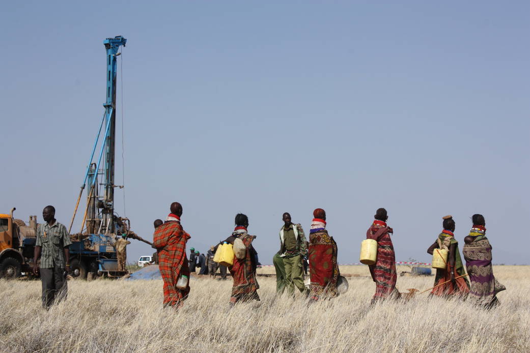
Using satellite and other remote-sensing topographical data from NASA, Radar Technologies International developed software that can locate underground water. Working with international organizations and governments, the firm is helping find water sources for refugees and other people in drought-stricken regions such as Kenya, Sudan and Afghanistan. A historic discovery in 2013 revealed 66 trillion gallons of water deep beneath the surface of Turkana County in northwest Kenya, giving one of the driest, most destitute regions of the world access to reserves that may last for generations.
Read more: http://spinoff.nasa.gov/Spinoff2015/ps_1.html
Image credit: Radar Technologies International