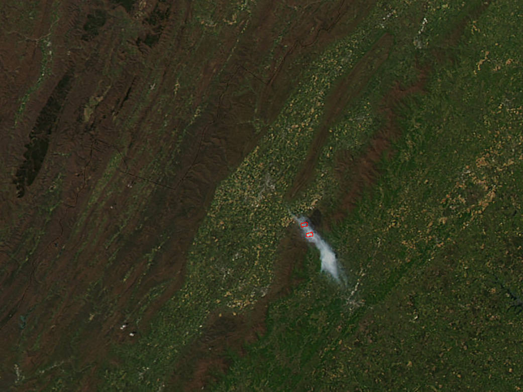
This natural-color satellite image of the Rocky Mountain Fire in Virginia was collected by the Moderate Resolution Imaging Spectroradiometer (MODIS) aboard the Aqua satellite on April 24, 2016.
According to the Inciweb website “the fire is located in Shenandoah National Park’s south district, the fire was first reported on Saturday, April 16th at 1:15pm. When firefighters first arrived on scene, the fire was approximately 70 acres, growing quickly and too intense for a direct attack. Firefighters instead focused on evacuating hikers and backpackers and ordered additional firefighters and equipment to the scene. On Friday, April 29th, the fire was 100% contained and the closed section of the park’s Skyline Drive reopened at 6:00 p.m. The Temporary Flight Restriction (TFR) was lifted on Friday April 29th. The section of the Appalachian Trail closed by the fire was reopened at noon on Saturday, April 30th. Several other trails were reopened the same day, but some trails remain closed. The fire burned in a combination of mountain laurel, pine, and oak forests. The area contained heavier than average leaf litter and duff. The region was 3 to 4 inches below normal precipitation. The cause of the fire is under investigation.”
Actively burning areas, detected by MODIS’s thermal bands, are outlined in red. NASA image courtesy Jeff Schmaltz, MODIS Rapid Response Team. Caption: NASA/Goddard, Lynn Jenner


