


Since 1972, Landsat satellites have collected information about Earth from space.
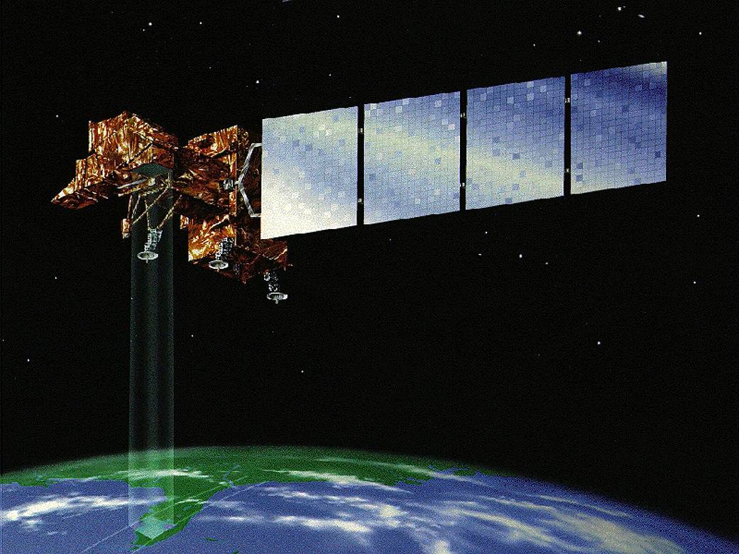
Since 1972, Landsat satellites have collected information about Earth from space. This science, known as remote sensing, allows satellites to take specialized digital photographs of Earth’s continents and surrounding coastal regions. These photographs enable people to study many aspects of the planet and to evaluate the dynamic changes caused by both natural processes and human practices. > Read More