


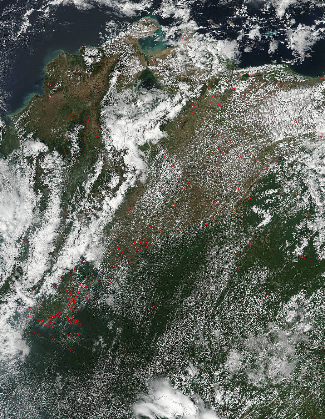
NASA’s Suomi NPP satellite collected this natural-color image of Colombia (left) and Venezuela (right) with the VIIRS (Visible Infrared Imaging Radiometer Suite) instrument on February 11, 2017. Dotting the landscape are hundreds of fires across the whole of both countries. The fires seem to be most active in the southern portion of Colombia in the Putumayo region, although fires are scattered liberally throughout Colombia and Venezuela. Actively burning areas, detected by the VIIRS thermal bands, are outlined in red. Each hot spot is an area where the thermal detectors on the MODIS instrument recognized temperatures higher than background. Suomi NPP is managed by NASA and NOAA.
NASA image courtesy Jeff Schmaltz LANCE/EOSDIS MODIS Rapid Response Team, GSFC. Caption by Lynn Jenner