


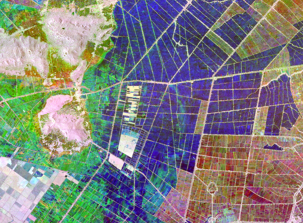
Satellite imagery of the An Giang Province in Vietnam’s Mekong Delta provides data in the ratio between soil moisture and biomass.
This satellite image, along with the next one, depict the An Giang Province in Vietnam’s Mekong Delta, a major rice-producing region, at different times of the year. Dark blue and black areas are inundated and have low biomass, while white and gray areas are other crops like row crops and trees. The differences in color indicate a change in the ratio between soil moisture and biomass.
To learn more about this spinoff, visit: http://spinoff.nasa.gov/Spinoff2016/ps_1.html
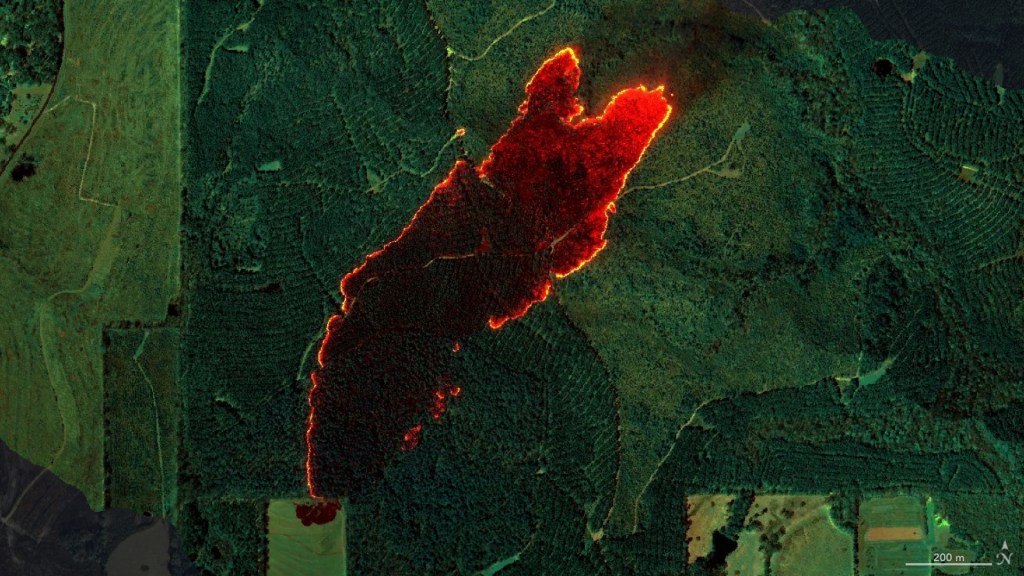
Image Credit: NASA