PRCuNaR2
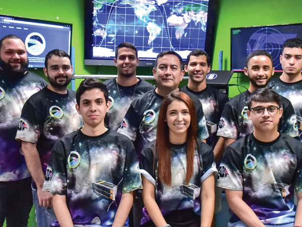
The first satellite deployed by Puerto Rico, known as PRCuNaR2, studied the behavior of collisions among particles in microgravity. Collisions of particles and aggregates of dust play a role in formation of protoplanetary disks – gaseous masses believed to give rise to planets. The investigation could provide insight into this process.
“It has motivated teachers who inspire many students,” said principal investigator Dr. Amilcar Rincón Charris of the Inter American University of Puerto Rico –Bayamon Campus. “I think we are an example to many kids that we, here in Puerto Rico, can do these projects and continue boosting science. The fact that we have a project like this has shown a whole country that the science is worth investing in and that we have talent in the areas of aerospace and the sciences.”
Sponsored by NASA’s CubeSat Launch Initiative, the investigation operated from April to Oct. 2021.
MMSAT-1
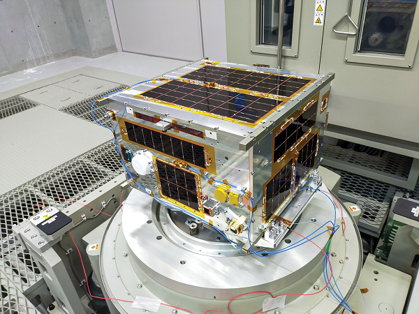
Myanmar’s MMSAT-1, deployed during the JEM Small Satellite Orbital Deployer (J-SSOD) M2 mission, monitors Earth’s surface, including forests, disaster areas, and weather. The satellite uses a high-resolution telescope system, a multi-spectral camera, and a camera with a fish-eye lens. The mission’s goal is to provide information useful for implementing more efficient and systematic agricultural practices and improving the monitoring of natural disasters.
Sponsored by JAXA, MMSAT-1 operated from Oct. 2020 to April 2021.
Swiatowid
SatRev was the first Polish company to develop a satellite from electronic components to launch and operate a mission in orbit. Swiatowid, its first project, demonstrated new miniaturization concepts and technologies for the CubeSat market. The project specifically tested whether the 2U CubeSat could provide high-resolution images of Earth using a telescope with an industry-quality camera sensor. Investigators analyzed the images and compared them to images from other sources such as airplanes and other satellites. Use of many small and less-expensive satellites could dramatically reduce the time it takes to obtain Earth images and provide more frequent images of a specific region. This capability has a variety of applications in the burgeoning Earth-imagery marketplace, including research, resource exploration, environmental monitoring, and disaster response.
The ISS National Lab sponsored Poland’s satellite demonstration, which operated from March to Oct. 2019.
ASTERIA
ASTERIA used a 6U CubeSat to test new technologies for astronomical observation, including detection of exoplanets, or planets outside our solar system. Scientists observe the small shadow of a planet as it passes through the light of the star it orbits, which requires repeated observation of stars over a long period of time from a dark environment. ASTERIA used advanced pointing control technology and new thermal stabilization features on the CubeSat platform to perform these complex measurements.
The first CubeSat built by NASA’s Jet Propulsion Laboratory (JPL) in Southern California to successfully operate in space, ASTERIA launched in 2017 and continued operating through three mission extensions until the last successful communication on Dec. 5, 2019. During those extensions, ASTERIA tested capabilities for making CubeSats more autonomous and made opportunistic observations of Earth, a comet, Vesta, Uranus, other spacecraft in geo-synchronous orbit, and stars that might host transiting exoplanets.
RainCube
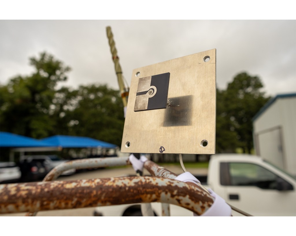
Climate and weather models depend on measurements from space-borne satellites to complete model validation and improvements. RainCube demonstrated using radar and antenna technology to profile vertically falling precipitation, such as rain and snow, on Earth. RainCube developed a novel miniaturized radar instrument and demonstrated the feasibility of a radar payload on a CubeSat platform.
The instruments offer reduced size, mass, and power consumption and could provide a low-cost, quick-turnaround platform for future missions. The technology could enable observation of the evolution of weather systems and phenomena on the scale of minutes. Such measurements and observations have the potential to significantly improve climate and weather models and climate science and weather forecasting.
RainCube was developed by JPL and flew in 2018.
Remove Debris
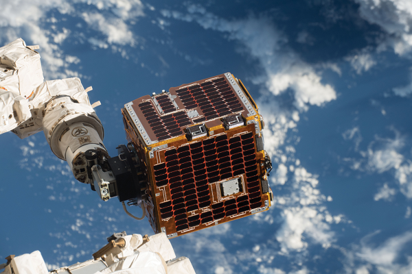
Tens of thousands of pieces of debris clutter Earth’s orbit. NanoRacks-Remove Debris demonstrates a way to reduce this debris and the risk of satellites and other spacecraft colliding with a piece of it. Investigators and developers from the United Kingdom, Switzerland, France, Germany, and South Africa designed an experiment using two CubeSats, one with a camera to map location and speed of simulated debris and the other with a net or harpoon to capture and deorbit pieces of the debris up to 1 meter (3.3 feet) in size.
Demonstrations successfully produced images and precise locations of intended targets and using a net, captured CubeSats launched to represent debris targets. The captured target was floated away to deorbit and burn up upon atmospheric re-entry in much less time than it would take without intervention. Researchers also analyzed video of the demonstration runs from Earth to learn more about the behavior of debris and how best to remove it.
The project, co-funded by the European Commission and other project partners and led by the Surrey Space Centre in the United Kingdom, flew in 2018.

