Journal Home Page | Apollo 15 Journal |
Animation
made from seven LROC images of the Apollo 15 landing site,
ordered from sunrise to sunset. LROC images courtesy
NASA/GSFC/Arizona State University. |
Comparison of the Apollo 15
(left) and Apollo 17 flag emplacements. The flag
pole are believed to be identical and are shown at the
same scale. The Apollo 17 flag is one that flew in
the Mission Operations Control Room (MOCR) during Apollo
and is about 20 percent larger in both height and width
than the other flags (3 by 5 feet = 1 by 1.5 m).
Note that the coupling sleeve near the bottom is closer to
the ground in the Apollo 17 case. However, the
difference is only about one pole diameter, or about 1
inch (2.5 cm). (Click
on the image for a larger version.) |
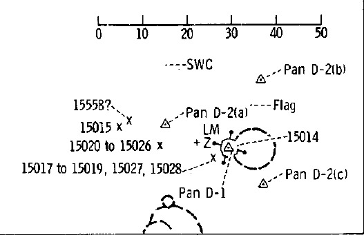
Detail from Figure 5-52 in the
Apollo 15 Preliminary Science Report, showing the flag about 11 meters from the center
of the LM on an azimuth of about 30 degrees. (Click
on the image for the full figure.) |
Detail from AS15-88-11928, taken by Dave Scott on his way back to the LM from the final LRV parking place. Jim Irwin is at the MESA. The LM is 7 meters tall. |
TV frame from a final panorama
made hours after the ascent. The flag is on the
right. The image of the flag is approximately square
compared to a true height/length ratio of 3/5,
implying that the flag is pointing about 37 degrees north
of the direction to the LRV. |
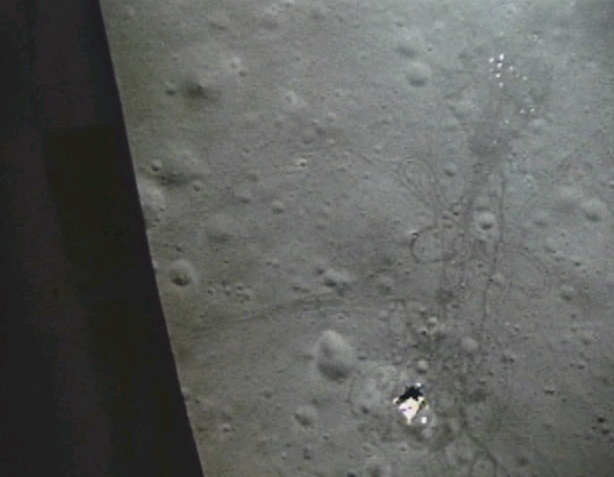
Frame from the DAC film of the
ascent. Liftoff occurred at about 1711 UTC on 2
August 1971. The solar azimuth/elevation were about
115.3/41.4. Figure 5-52 from the Preliminary Science
Report indicated that ALSEP array at the upper right is
125 m from the LM on an azimuth of 297. |
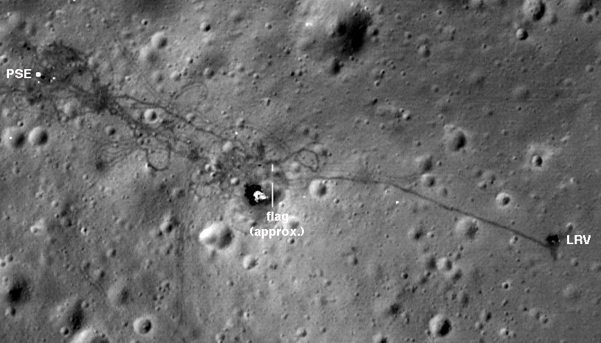
Detail from LROC image
M175252641, taken from an altitude of 25 km at 2103 UTC
on 6 November 2011. The solar azimuth and
elevation were about 116.3/40.7, almost identical to the
illumination of the DAC frame above. |
Journal Home Page | Apollo 15 Journal |