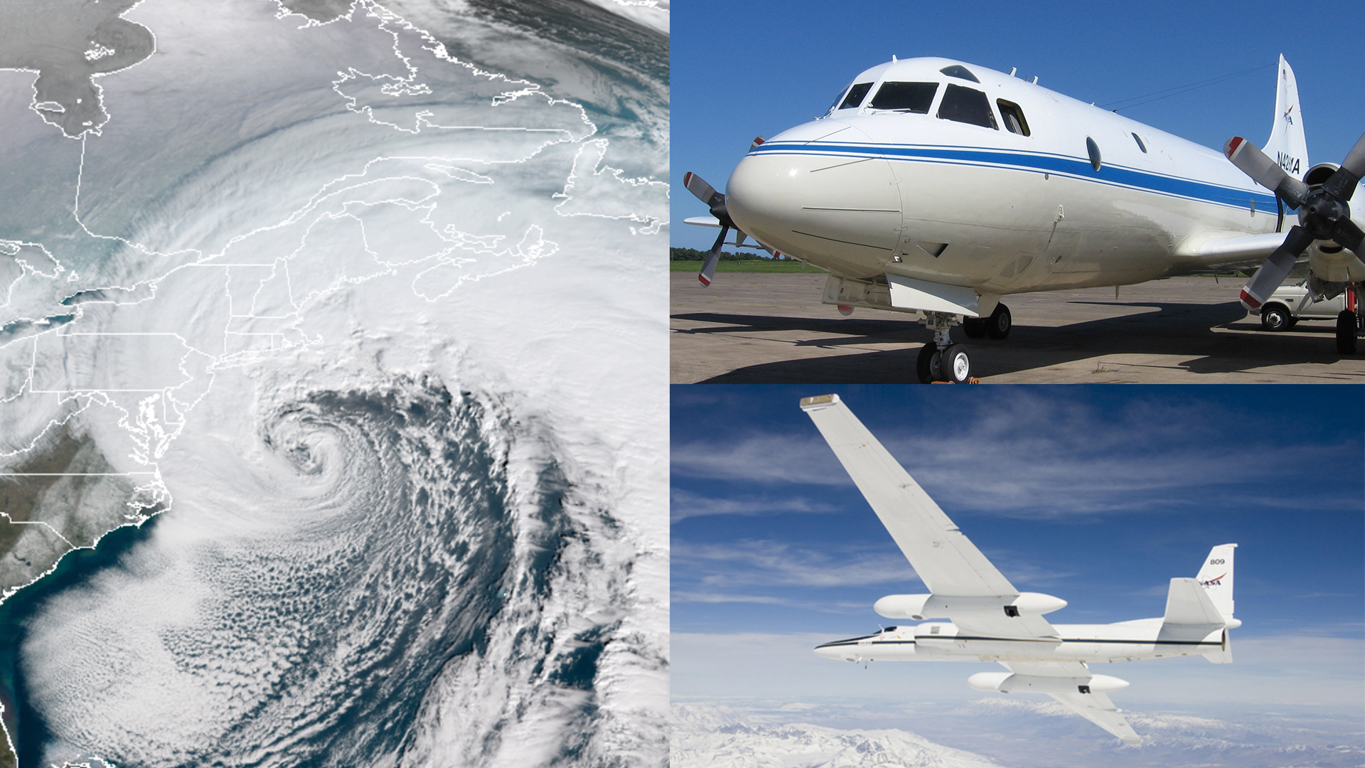
When giant white swirls of clouds cover the weather map with a winter storm warning, one question looms in the minds of people in its path: How much snow will it bring? With snow threatening access to roads, work, and school, snowfall is one of the most consequential winter weather phenomenon on the U.S. East Coast. It’s also one of the most difficult to predict.
This month NASA is sending a team of scientists, a host of ground instruments, and two research aircraft to study the inner workings of snowstorms. The Investigation of Microphysics Precipitation for Atlantic Coast-Threatening Snowstorms, or IMPACTS, has its first deployment in a multi-year field campaign from Jan. 17 through March 1. It will be the first comprehensive study of East Coast snowstorms in 30 years.
“Some places having two feet of snow, and other nearby places having one inch – that’s a big forecast problem. We’re trying to figure out what happens and how to represent that better in our weather models,” said atmospheric scientist and IMPACTS principal investigator Lynn McMurdie of the University of Washington in Seattle.
Areas that get a lot of snow tend to be beneath narrow regions within the clouds called snow bands which produce intense snowfall. Other regions of clouds don’t snow as hard. While researchers know these snow bands occur, they don’t know why they form or the processes that govern how they evolve over the storm’s lifetime, McMurdie said.
To understand snow bands, the IMPACTS science team will fly through them in NASA’s P-3 Orion research aircraft, based out of NASA’s Wallops Flight Facility in Virginia. The P-3 is outfitted with cloud probes fitted under the wings that will measure the sizes and shapes of snowflakes, as well as the temperature, water vapor, and other measures of the environment in which they form. These properties, collectively called microphysics, are what govern the small interactions of water droplets and ice crystals as they collide, melt or freeze, and eventually fall as rain or snow.
In addition, the P-3 will drop sensors called dropsondes during flights over the ocean, which measure the temperature, humidity and wind speed in the atmosphere between the snow cloud and the water as they fall. Meanwhile on land, mobile crews will send up weather balloons to measure the same things from the ground up through the clouds.
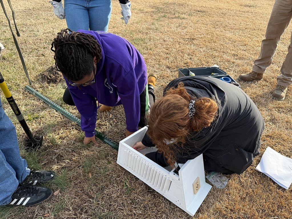
Ground instruments and radars based at Stony Brook University in New York and on a mobile units on Long Island will measure snowfall and its characteristics as it falls from the clouds, as well as measure how much accumulates.
A second aircraft, NASA’s ER-2, based out of Hunter Army Airfield in Savannah, Georgia, will fly at 65,000 feet to measure the snow clouds from above.
“IMPACTS will fly six remote-sensing instruments on the ER-2, effectively making the aircraft a mini-satellite,” said IMPACTS’ deputy principal investigator Scott Braun at NASA’s Goddard Space Flight Center in Greenbelt, Maryland.
Radars aboard the high-flying plane will measure the distribution of raindrops, snowflakes, and ice particles vertically in the cloud, as well as how they move. An instrument that detects the natural microwaves given off by liquid and ice particles will scan across the width of the cloud, providing a broader view of the snow storm. For thin clouds, a lidar instrument, which uses laser light to detect precipitation particles, will enable measurements of a wide variety of cloud types.
“All this information is important and complementary,” said IMPACTS’ deputy principal investigator John Yorks of NASA Goddard. “The data collected directly in the cloud by the P-3 will inform how we interpret the remote sensing data from the ER-2 and help us understand the structure and evolution of the snow bands.”
“I hope to sample lots of storms,” McMurdie said, adding that they want to capture a variety of snowstorms as well. “Sometimes these storms form but they might be slightly warm and might actually be raining at the surface, but the snow processes are happening above ground. We’ll sample those too.”
The variety should give the research team different examples to use to puzzle together how snow gets distributed within storms and then eventually translate that new knowledge to computer models that simulate how they behave, with the goal of improving snow predictions in the future.
The IMPACTS science team includes researchers from NASA, universities, the National Center for Atmospheric Research, and the National Oceanic Atmospheric Administration, including partners at the National Weather Service. The 2020 deployment is the first of three, with subsequent study periods in the winters of 2021 and 2022. The ER-2 is managed by NASA’s Armstrong Flight Research Center in Palmdale, California, and the P-3 is managed by NASA Wallops.
To learn more about the mission, visit: https://espo.nasa.gov/impacts/content/IMPACTS
IMPACTS is one of five NASA Earth Venture campaigns taking to the field in 2020. To learn more visit: https://www.nasa.gov/feature/goddard/2019/nasa-embarks-on-us-cross-country-expeditions
By: Ellen Gray
NASA’s Earth Science News Team


