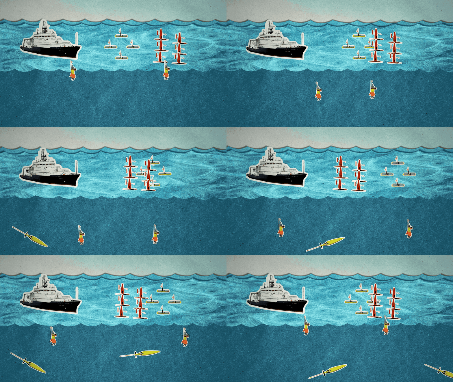
After a successful test run in May, a NASA campaign is deploying aircraft, a research vessel and several kinds of autonomous ocean robots to study small ocean whirlpools, eddies and currents.
Using instruments at sea and in the sky, the Sub-Mesoscale Ocean Dynamics Experiment (S-MODE) team aims to understand the role these ocean processes play in vertical transport, the movement of heat, nutrients, oxygen, and carbon from the ocean surface to the deeper ocean layers below. In addition, scientists think these small-scale ocean features play an important role in the exchange of heat and gases between air and sea. Understanding small-scale ocean dynamics will help scientists better understand how Earth’s oceans slow the impact of global warming and impact the Earth climate system.
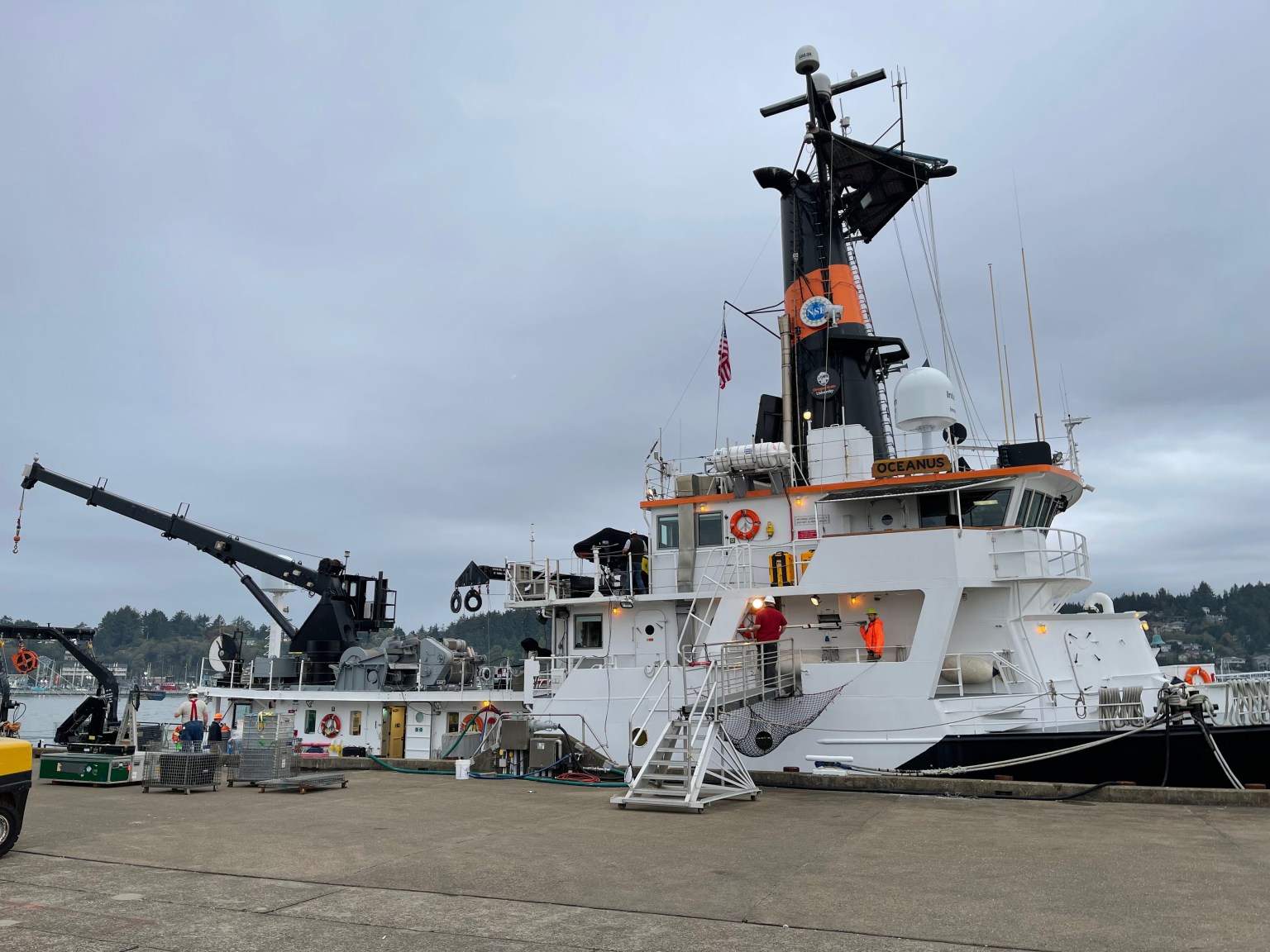
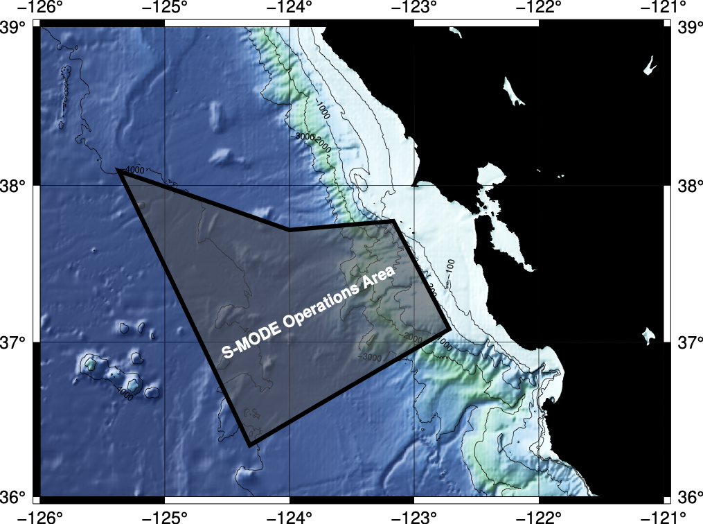
On Oct. 19, the research vessel Oceanus, owned by the National Science Foundation, set sail to an area a hundred nautical miles out to sea off the coast of San Francisco, accompanied by a fleet of several types of autonomous marine research vehicles. For the following three weeks, two aircraft will also fly repeatedly overhead to collect measurements from above while the vessel and the autonomous vehicles samples the ocean below. The eyes-in-the-sky perspective from the aircraft will allow the team to monitor a large swath of ocean at once, as well as direct the research ship and autonomous ocean vehicles in the water to move toward areas of interest.
“The overall goal is to understand vertical transport in the ocean, and how the remote sensing measurements relate to the in situ, or ‘wet,’ measurements,” said Dragana Perkovic-Martin, a radar system engineer at NASA’s Jet Propulsion Laboratory in Southern California.
Aerial Views of the Ocean Surface
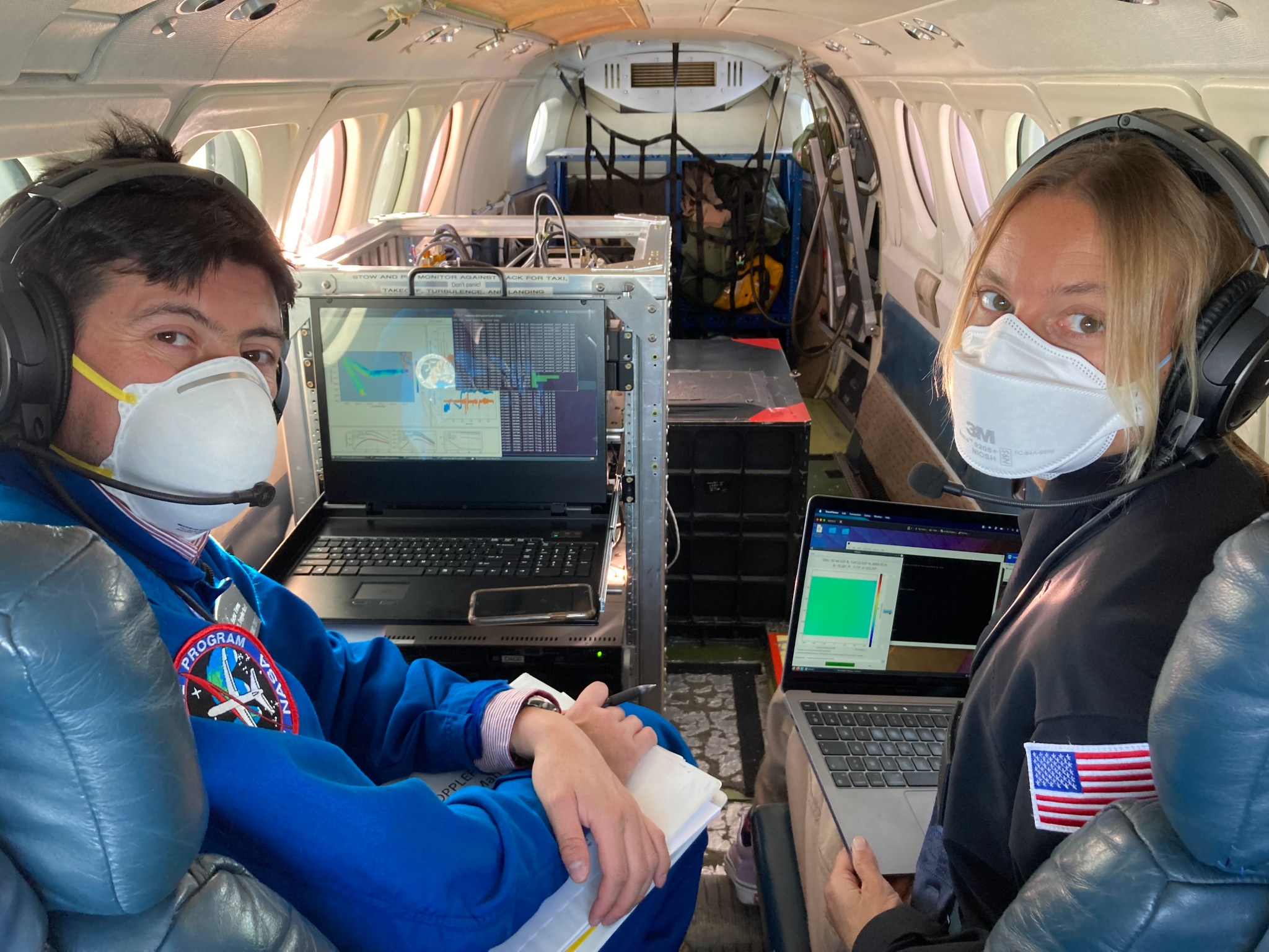
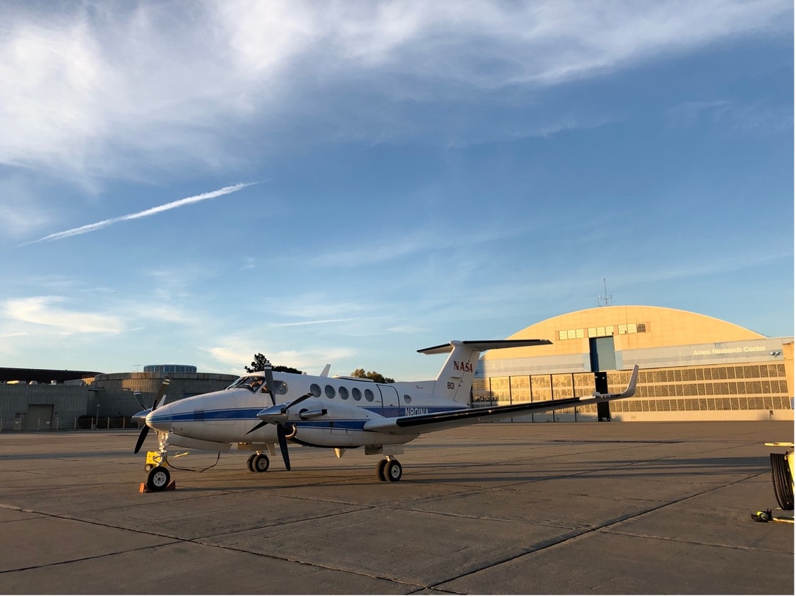
From its vantage 28,000 feet in the air aboard the NASA Armstrong King Air B200, the DopplerScatt instrument bounces radar signals off the ocean to provide information about winds and currents at the surface. The MASS instrument aboard the Twin Otter DHC6 plane flies below the clouds to observe how surface waves move and break. It collects measurements with a complex suite of laser-based and imaging devices, which allow the team to infer ocean currents from these measurements.
“The aircraft instruments provide spatial observations but can’t penetrate the ocean’s surface, while the autonomous vehicles and ship are providing in situ data that will give profiles of the ocean,” said Luc Lenain, an ocean scientist at the Scripps Institution of Oceanography at the University of California, San Diego. Used in conjunction, these data show what is happening over an area of the ocean surface and into the depths below.
All Aboard the R/V Oceanus
While the aircraft collect data on wind, currents and ocean properties from the sky, the ship will be taking similar measurements from the ocean surface. “Since the aircraft-based observations of ocean currents are relatively new, we want to know how they relate to our traditional ways of studying the ocean,” said Andrey Shcherbina, an oceanographer at the Applied Physics Laboratory at the University of Washington and chief scientist on the R/V Oceanus.
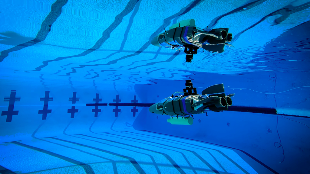
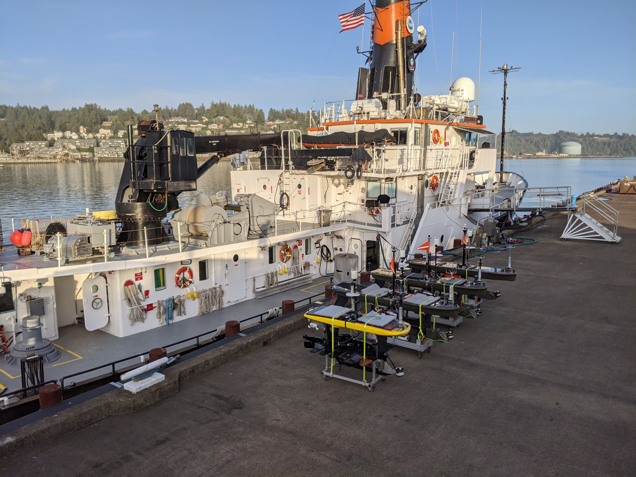
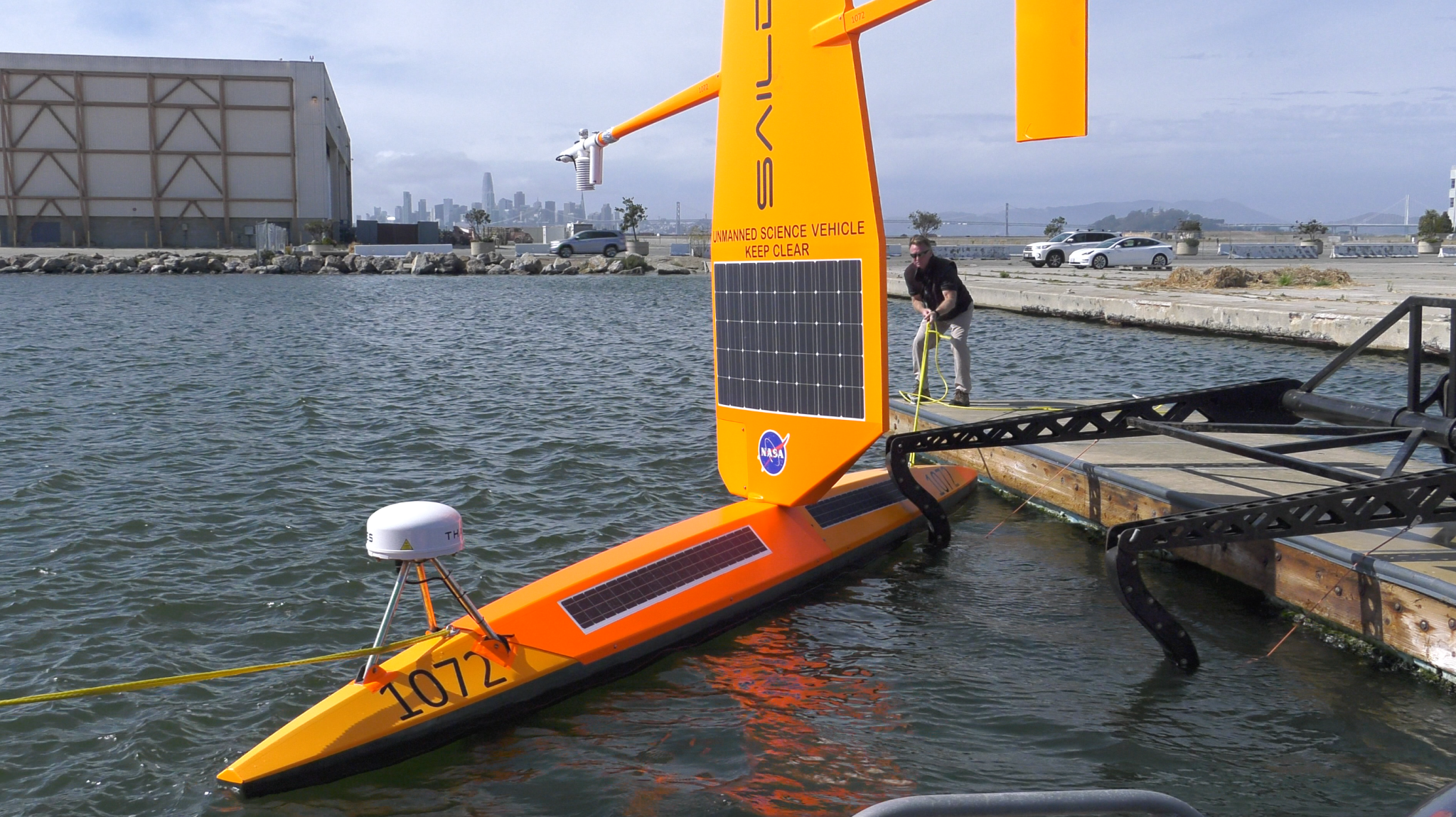
The ship will also serve as a launching point for a small fleet of several types of autonomous ocean vehicles. Four Wave Gliders – essentially surfboards with a suite of scientific instruments aboard – will bob up and down on the surface to propel themselves around the study area. Several Saildrones will sail from San Francisco Bay to join the fleet collecting data at the study site. The Saildrones and Wave Gliders will measure a vast array of factors such as ocean currents, wind speed and direction, air and water temperature, salinity, dissolved oxygen, and chlorophyll content.
Two kinds of trackers will float freely in the water, providing information about where and how currents are moving and interacting. The drifters remain on the surface, while the Lagrangian Floats follow the underwater ocean currents in three dimensions.
With all these instruments working in coordination with each other, with the vessel, and with the aircraft, the team hopes to capture rapidly shifting ocean currents and properties within the study area. “Our best bet is to have a lot of instruments sampling this small patch of ocean so that we have a comprehensive multi-faceted view,” said Shcherbina. From this data, the team hopes to learn more about small-scale ocean movements and how these movements may move heat, nutrients and gases within the ocean and between air and sea.
S-MODE is part of NASA’s Earth Venture Suborbital-3 (EVS-3) program, funded by the Earth System Science Pathfinder (ESSP) Program Office at NASA’s Langley Research Center in Hampton, Virginia, and managed by the Earth Science Project Office (ESPO) at NASA’s Ames Research Center in California’s Silicon Valley.
By Sofie Bates

