In the final week before their planned Dec. 6, 1972 launch on the final Apollo lunar landing mission, Apollo 17 astronauts Commander Eugene A. Cernan, Command Module Pilot Ronald E. Evans, and Lunar Module Pilot Harrison H. “Jack” Schmitt, the first trained geologist to travel to the Moon, completed their training. Planned to make the first night launch of the American human spaceflight program, Apollo 17’s 13-day mission included exploration of the Taurus-Littrow region of the Moon. The astronauts reviewed the flight plans for their mission and participated in an emergency egress drill from their spacecraft at Launch Pad 39A at NASA’s Kennedy Space Center (KSC) in Florida, where ground crews began the countdown for the flight to the Moon.
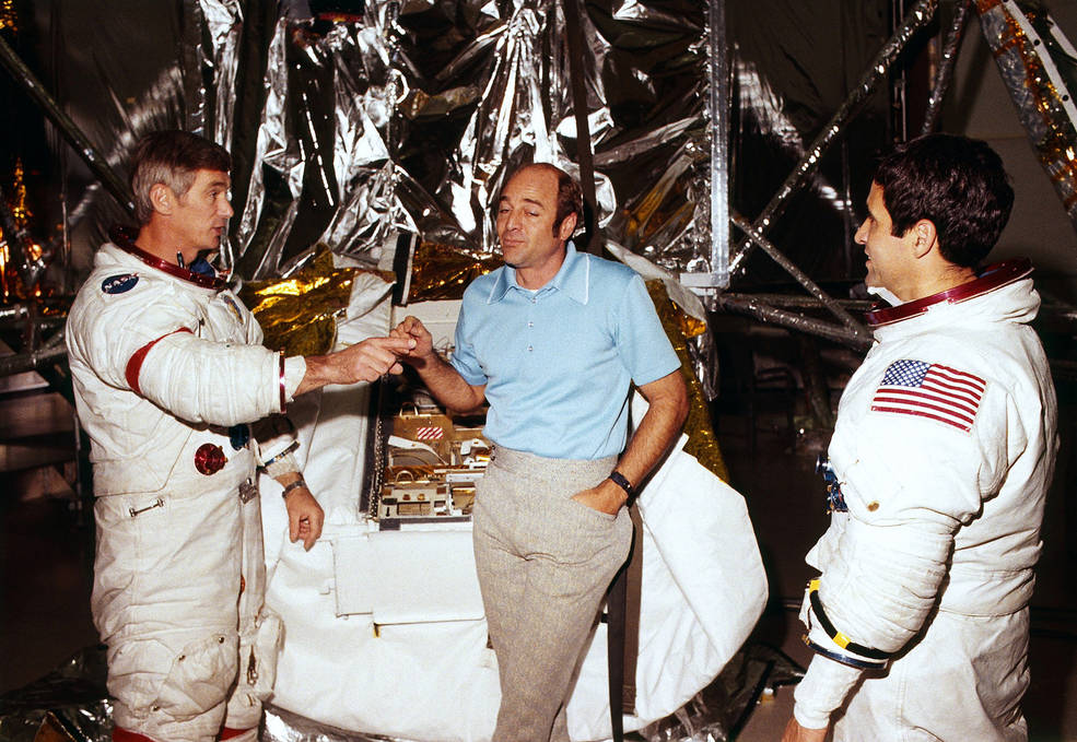

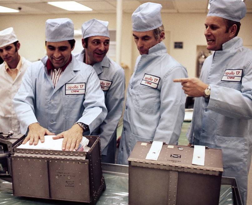
Left: Apollo 17 astronauts Eugene A. Cernan, left, Ronald E. Evans, and Harrison H. “Jack” Schmitt in front of the Lunar Module trainer during the last week before flight. Middle: Cernan, left, Evans, and Schmitt review flight plans for their upcoming mission. Right: Assisted by technicians, Schmitt, second from left, Evans, and Cernan inspect hardware to be stowed aboard their Command Module.
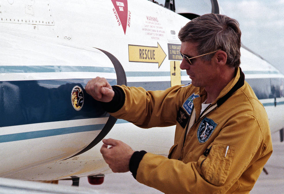
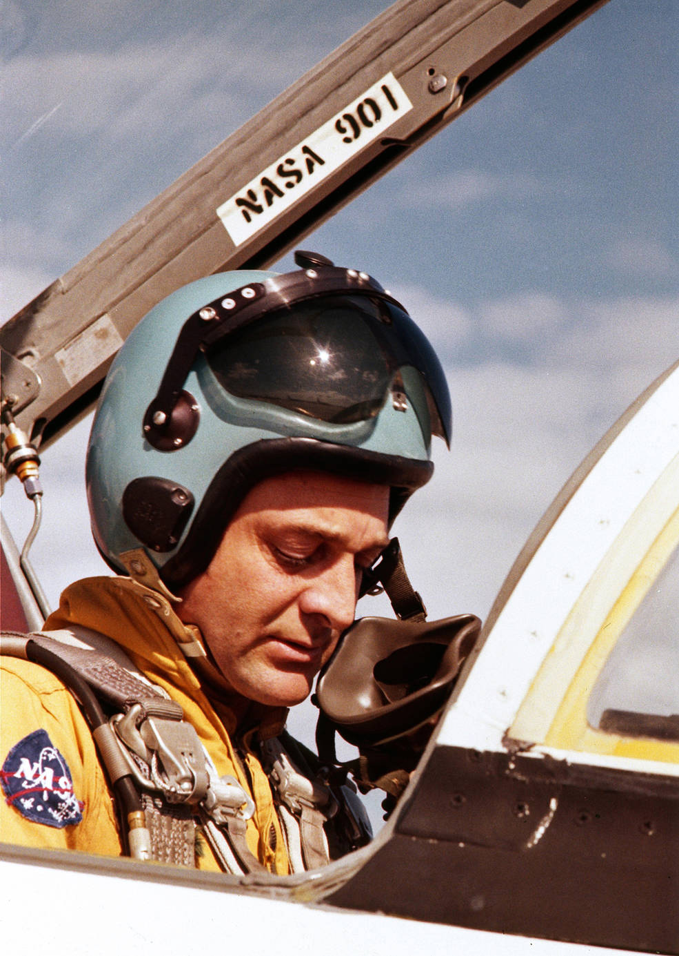

In the last few days before launch, Apollo 17 astronauts Eugene A. Cernan, left, Ronald E. Evans,
and Harrison H. “Jack” Schmitt maintain their flying proficiency aboard T-38 jets at Patrick
Air Force Base near NASA’s Kennedy Space Center.
In the final week before launch, the three astronauts completed their last training sessions in the Command Module and the Lunar Module simulators, reviewed their flight plans, examined hardware to be stowed in their spacecraft, and received their last geology instructions from a team of geologists. To maintain their flying skills, Cernan, Evans, and Schmitt flew T-38 Talon training aircraft from Patrick Air Force Base near KSC in the days leading up to the launch. On Dec. 4, they carried out an emergency egress drill from their spacecraft at Launch Pad 39A. The next day, ground crews began the terminal countdown for launch, with engineers in Firing Room 1 of the Launch Control Center monitoring the activities.
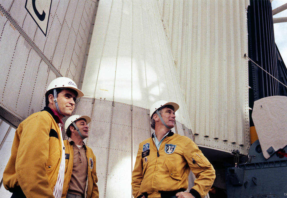
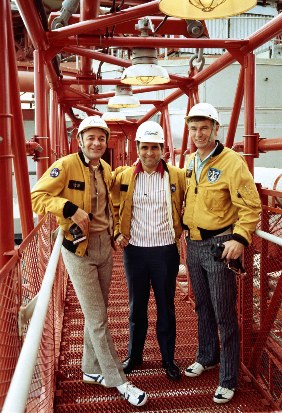
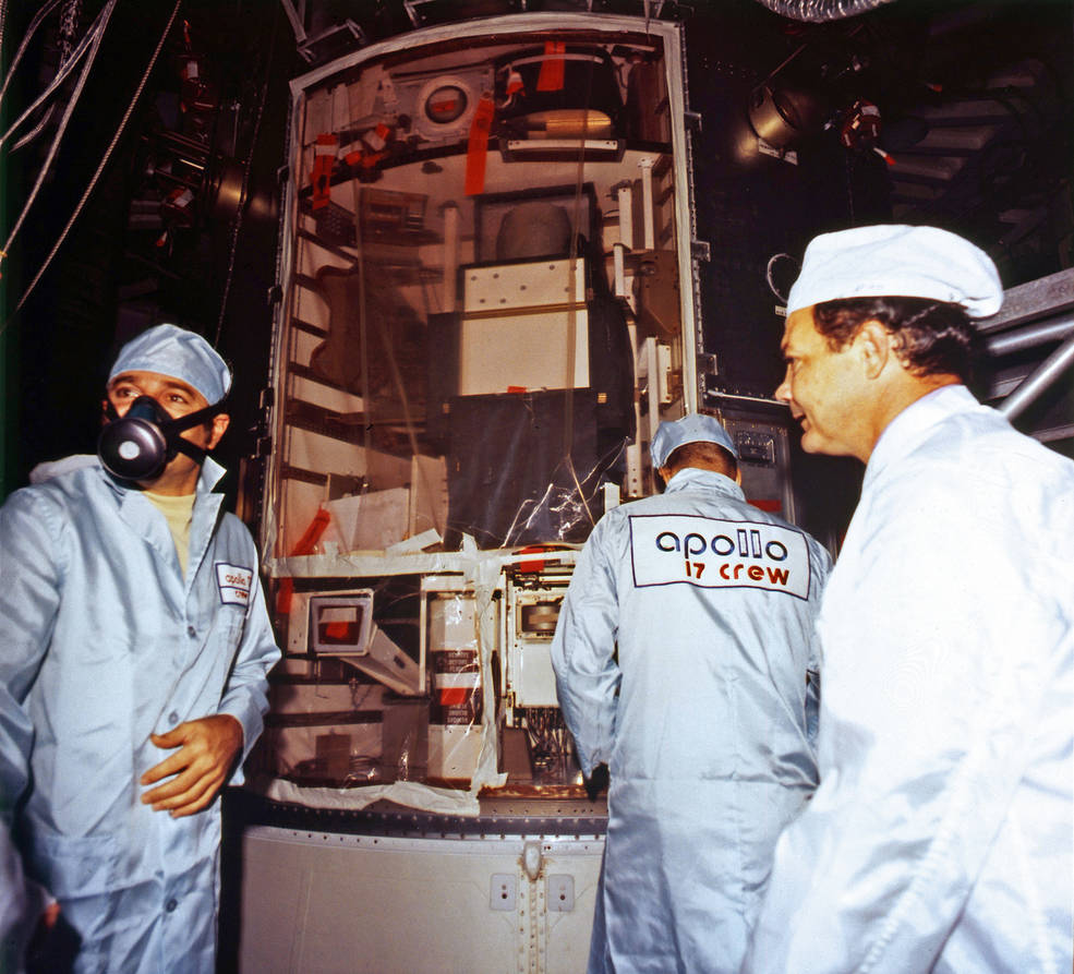
Left: Apollo 17 astronauts Harrison H. “Jack” Schmitt, left, Ronald E. Evans, and Eugene A. Cernan stand at the base of their Saturn V rocket at Launch Pad 39A. Middle: Evans, left, Schmitt, and Cernan on the gantry walkway leading to their Command Module. Right: Evans, left wearing respirator, inspects the Scientific Instrument Module bay in the
spacecraft’s Service Module at Launch Pad 39A.
As did Apollo 15 and 16, Apollo 17 carried the Scientific Instrument Module (SIM) bay in one of the sectors of the spacecraft’s Service Module. As they neared the Moon, the astronauts jettisoned the panel that protected the instruments during launch and the early days of the mission, exposing them to space so they could begin studying the Moon. Apollo 17’s SIM-bay carried seven instruments and cameras to gather data during the xx days the spacecraft orbited the Moon.
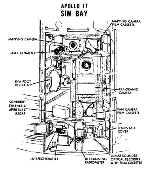
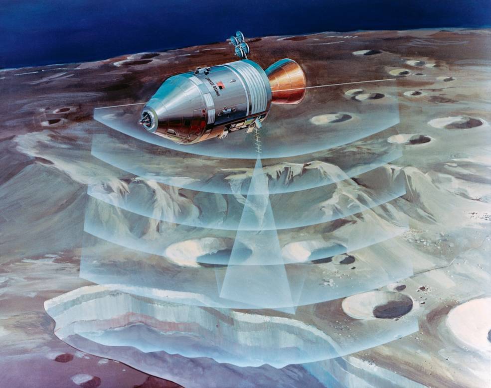
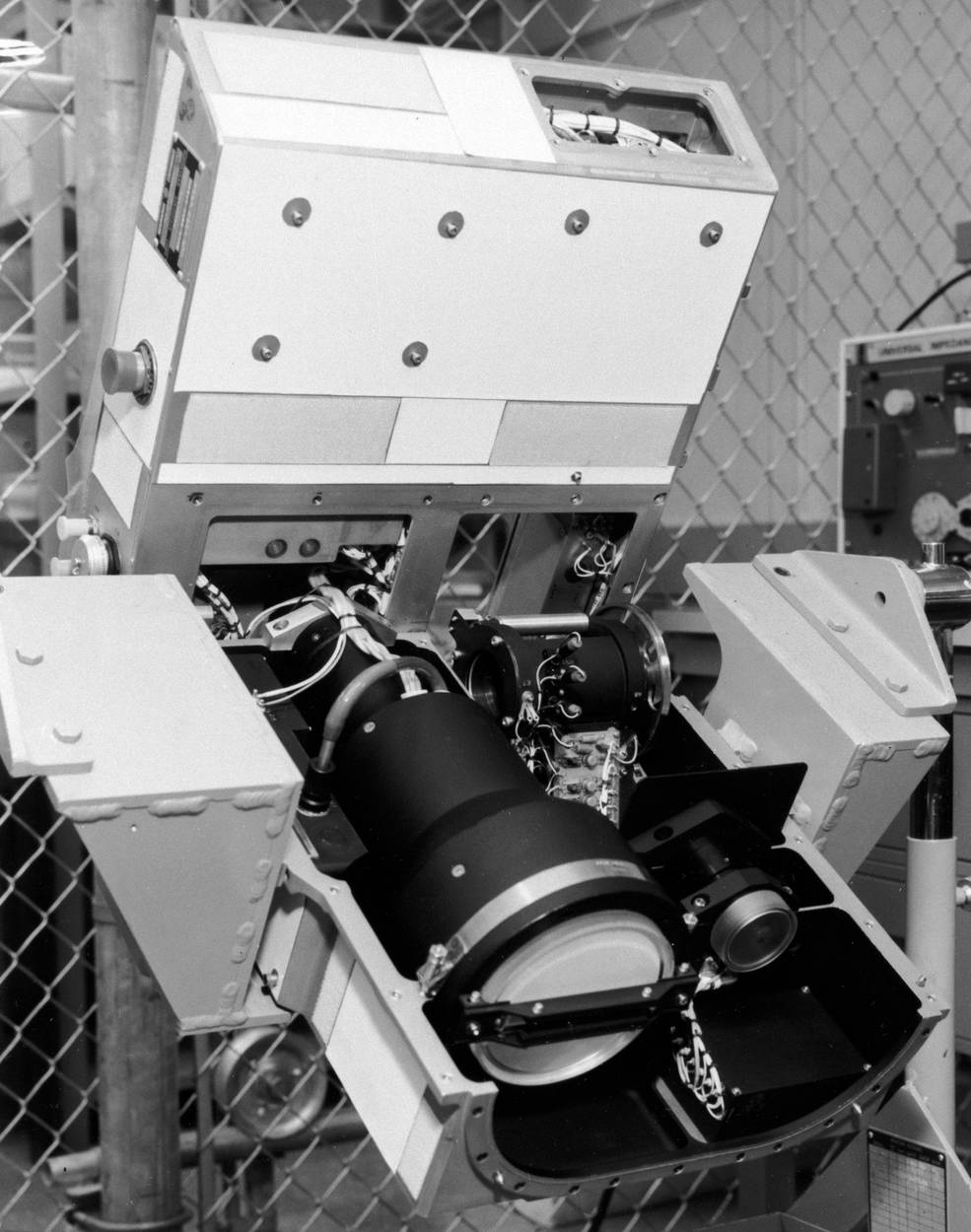
Left: Schematic diagram of the Apollo 17 Scientific Instruments Module (SIM) bay. Middle: Illustration of the Laser Sounder experiment. Right: The SIM-bay cameras.
The SIM-bay instruments included:
The Laser Sounder experiment to develop a geologic map of the lunar interior to a depth of 4,280 feet.
The Infrared Scanning Radiometer to provide a high-resolution lunar surface temperature map.
The Far-Ultraviolet Spectrometer to measure the atomic composition, density, and height of the tenuous lunar atmosphere.
The Gamma-Ray Spectrometer to measure natural and cosmic rays, induced gamma radioactivity from the lunar surface, and the radiation flux in cislunar space.
The Panoramic Camera to gather high-resolution (2-meter) photographs of the lunar surface, and work in conjunction with the Mapping Camera and the Laser Altimeter to generate a detailed lunar map along the spacecraft’s ground track.
The Mapping Camera to gather 20-meter resolution photographs of the lunar surface, and work in conjunction with the Panoramic Camera and the Laser Altimeter to generate a detailed map of the lunar surface along the spacecraft ground track.
The Laser Altimeter measured the spacecraft’s altitude to within 2-meter accuracy to aid in generating a detailed map of the lunar surface, in coordination with the Panoramic and Mapping Cameras.
Evans trained to retrieve the exposed film cassettes from the Panoramic Camera and the Mapping Camera during a spacewalk on the journey back to Earth.
To be continued…
John Uri
NASA Johnson Space Center


