Floodplains and Wetlands
Natural Resource Management (NRM) at NASA
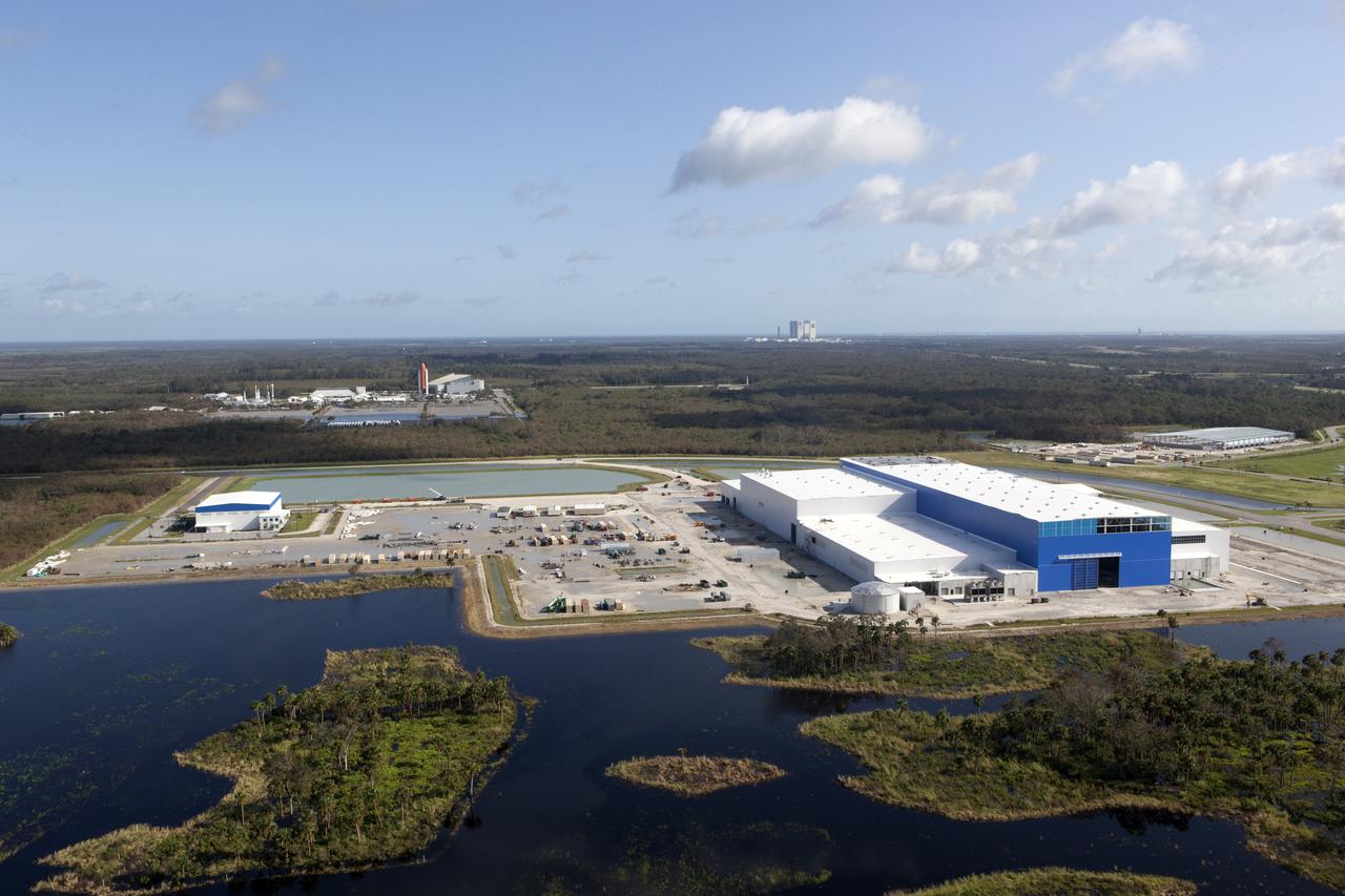
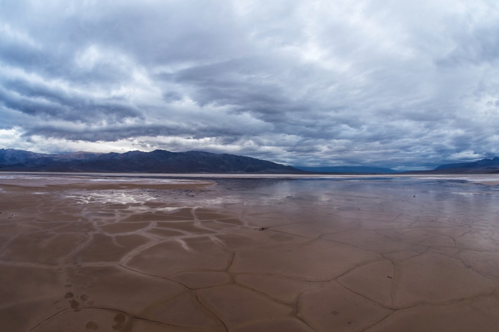
Floodplains and wetlands are two landscape features that are prevalent at most NASA Centers. These features provide important ecosystem services such as flood control, wildlife habitat, energy dissipation, and water quality improvement.
A floodplain is a low-lying area near water which floods during periods of high rain. Floodplain management is designed to reduce the risk to people and structures from current and future flooding resulting in more resilient communities. NASA maintains inventories of floodplains and ensures projects within or near them incorporate standards to preserve and protect these resources.
Generally, a wetland is an area where water frequently saturates the soil and may have water on the surface. Wetlands are characterized by their soil and the plants and animals that use the area. Sometimes wetlands are part of the floodplain, other times they are along the coasts and are affected by tides. Section 404 of the federal Clean Water Act establishes a nationwide program to manage projects that occur in or near wetlands. NASA strives to minimize the destruction, loss, and degradation of wetlands and preserve and enhance the natural and beneficial values they have. NASA undertakes comprehensive analysis of effects on wetlands from actions it proposes and incorporates that into project planning.
Find out more about how floodplains and wetlands are regulated by looking at the Regulatory Drivers page.
