


Earth Surface & Interior at Ames
What is the field of Earth surface and interior all about?
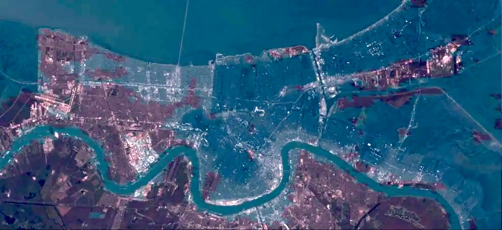
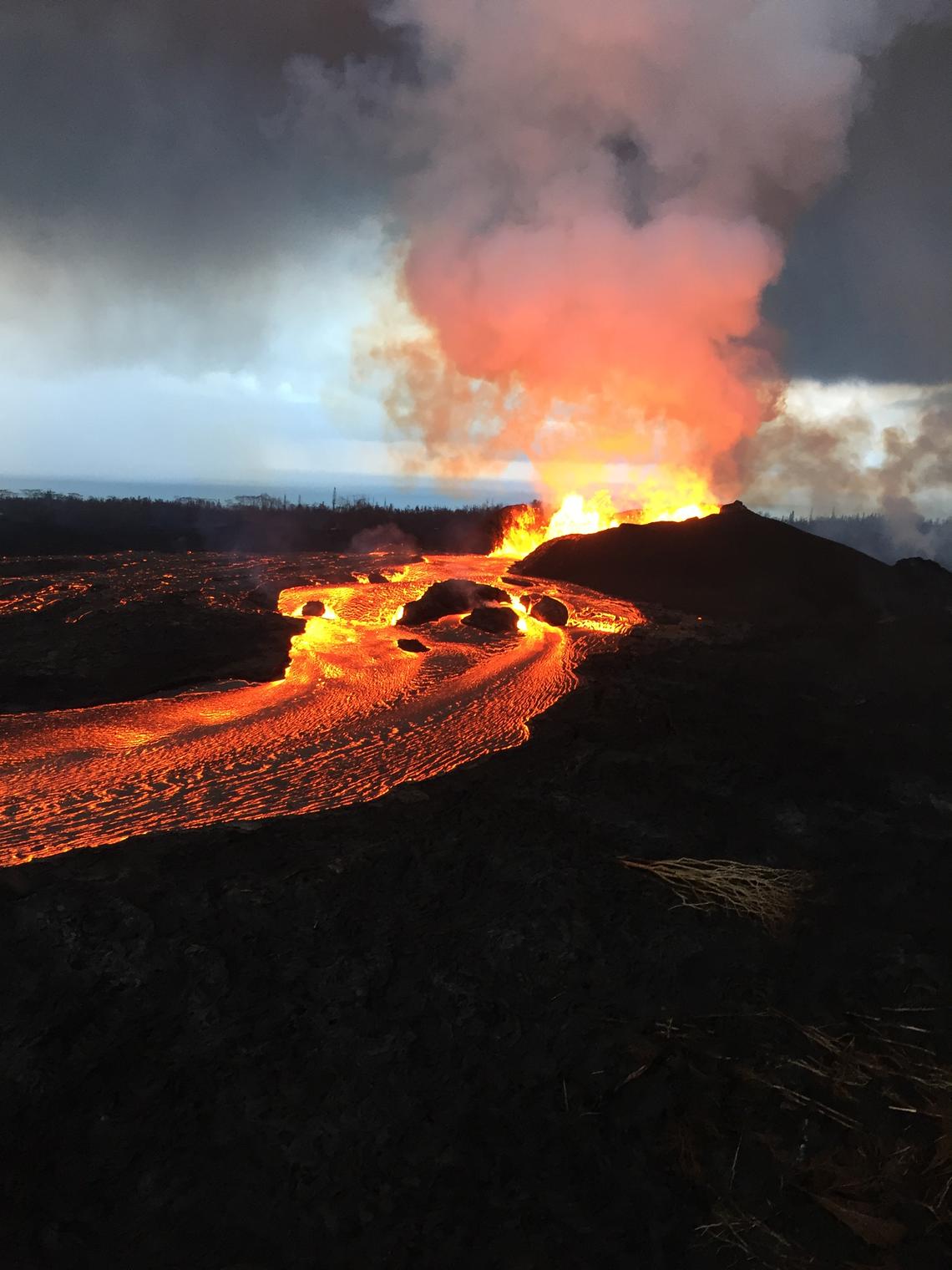
The Earth is composed of multiple layers that form the solid Earth humans reside on, from the crust we walk on down to the core of the planet. Researchers at NASA Ames focus on seismology (earthquakes) and volcanology, studying patterns of seismic activity and thermal geochemistry to better understand how, when, and why seismic and volcanic processes evolve. Seismic waves and subtle changes in the Earth’s crust provide a window into what happens beneath the surface, and changes in continuous gas emissions from restless volcanoes and hydrothermal areas track evolving subsurface conditions. Unique to Ames, scientists also explore how volcanic gas emissions affect local forests.
Why is it important?
By providing a better understanding of the factors leading up to a volcanic eruption, researchers can help predict these events in advance; critical information for local communities who may be affected. Scientists in this field also analyze post-event effects, such as lava flows, changes to the landscape, and the movement of gases released during an eruption.
Earth Surface and Interior Missions & Programs
Projects in this field at Ames primarily focus on seismology and volcanology.
Partnerships are also an importance facet of Ames’ work in Earth Surface and Interior. In 2024, Ames Research Center welcomed the United States Geological Survey (USGS) to campus, with exciting collaborations on the horizon.
Read More About Earth Surface and Interior Missions and Projects