Earth Surface and Interior
NASA’s Earth Surface and Interior focus area (ESI) supports research and analysis of solid-Earth processes and properties from crust to core. The overarching goal of ESI is to use NASA’s unique capabilities and observational resources to better understand core, mantle, and lithospheric structure and dynamics, and interactions between these processes and Earth’s fluid envelopes.
ESI studies provide the basic understanding and data products needed to inform the assessment, mitigation, and forecasting of the natural hazards, including phenomena such as earthquakes, tsunamis, landslides, and volcanic eruptions. These investigations also exploit the time-variable signals associated with other natural and anthropogenic perturbations to the Earth system, including those associated with the production and management of natural resources.
Research Questions
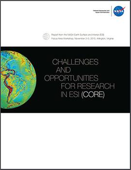
Earth Surface & Interior addresses the following overarching questions, identified in the NASA Challenges and Opportunities for Research in ESI (CORE) Report (2016):
- What is the nature of deformation associated with plate boundaries and what are the implications for earthquakes, tsunamis, and other related natural hazards?
- How do tectonic processes and climate variability interact to shape Earth’s surface and create natural hazards?
- How does the solid Earth respond to climate-driven exchange of water among Earth systems and what are the implications for sea-level change?
- How do magmatic systems evolve, under what conditions do volcanoes erupt, and how do eruptions and volcano hazards develop?
- What are the dynamics of Earth’s deep interior and how does Earth’s surface respond?
- What are the dynamics of Earth’s magnetic field and its interactions with the rest of Earth’s systems?
- How do human activities impact and interact with Earth’s surface and interior?
The CORE Report synthesizes the discussions from the NASA CORE Workshop, held 2-3 November 2015 in Arlington, VA. The purpose of the workshop was to convene the community to assess progress towards meeting the goals of the 2002 Solid Earth Science Working Group (SESWG) report Living on a Restless Planet, and to revisit challenges and opportunities for NASA solid-Earth science in light of scientific progress and new capabilities realized over the past decade. Additional input reflected in the report was acquired through pre-workshop white papers, a 2015 Fall AGU Town Hall Meeting, a public comment period, and peer reviews.
Space Geodesy Program
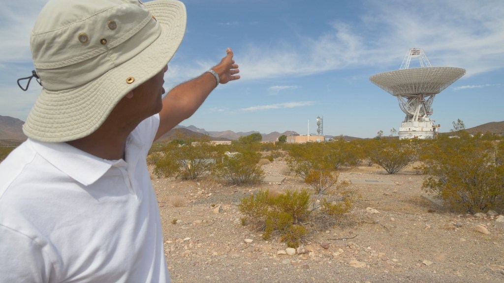
The Space Geodesy Program (SGP) was initiated in 2011 with the long-range goal of building, deploying, and operating a next generation NASA Space Geodetic Network (NSGN) of integrated, multi-technique space geodetic observing systems. This infrastructure enables the establishment and maintenance of a precise terrestrial reference frame that is foundational to many Earth missions and location-based observations.SGP produces observations that refine our knowledge of Earth’s shape, rotation, orientation, and gravity, advancing our understanding of the motion and rotation of tectonic plates, elastic properties of the crust and mantle, mantle-core interactions, solid Earth tides, and the effects of surface loading resulting from surface water, ground water, glaciers, and ice sheets. SGP is a partnership between Goddard Space Flight Center and the Jet Propulsion Laboratory, with participation from the Smithsonian Astrophysical Observatory and the University of Maryland.
Blog Posts
Track progress at the Kōkeʻe Park Geophysical Observatory (KPGO):
Associated Earth Science Division Missions, Instruments, and Data Sets
The table below lists all Earth missions that are relevant to the Earth Surface and Interior Focus Area in all phases.
Operating missions include missions at the start of the Operations and Sustainment phase of their life-cycle.This phase marks the transition from system development and acquisition activities to primarily systems operations and sustainment activities. Missions under development are missions that are at the Final Design and Fabrication (Phase C) and System Assembly, Integration and Test, and Launch (Phase D) phases of their life-cycle. The primary activities in this category are developmental in nature, including acquisition contract execution. Phase C includes: the completion of final system design and fabrication of test and flight architecture; qualification testing; development of detailed integration plans and procedures; and test of components, assemblies, and subsystems. Phase D entails: system assembly, integration, and test (AI&T); verification/ certification; prelaunch activities; system launch; and completion of on orbit checkout or initial operations. Under study missions include missions that are at the pre-formulation and formulation stages of their life-cycle. Pre-formulation begins the process to define a viable and affordable concept for new NASA programs and projects, via concept studies. This step is followed by the formulation stage, which consists of two sequential phases, the Concept & Technology Development phase and the Preliminary Design & Technology Completion phase. The primary activities in these phases are to develop and define the project requirements and cost/schedule basis, and to design a plan for implementation (including an acquisition strategy, contractor selection, and long-lead procurement). Past missions are missions that have reached the Closeout phase, during which project systems are taken out of service and safely disposed, although scientific and other analyses might still continue under project funding.
OPERATIONS
Satellite Missions
–LAGEOS 1 & 2
–Landsat 7
–LDCM/ Landsat 8
–GRACE
–Terra
–Aqua
Suborbital Investigations:
Ground-based Observations
–Space Geodesy Project (SGP)
Suborbital Investigations:
Aircraft Missions
–HyspIRI
–UAVSAR
DEVELOPMENT
Satellite Missions
–ICESat-2
–GRACE Follow-On
UNDER STUDY
Satellite Missions
–Jason-3
–NISAR
–SWOT
PAST
Satellite Missions
– SRTM
–CHAMP
ROSES Solicitations
Solicited program elements relevant to Earth Surface & Interior are publicized through Research Opportunities in Space and Earth Sciences (ROSES) NASA Research Announcements (NRAs) on the NASA Solicitation and Proposal Integrated Review and Evaluation System (NSPIRES) website. Past, open, and future solicitations can be searched and viewed at NSPIRES.
Listed below are ESI-relevant past (including funded project abstracts when available), open, and future solicitations:
- NISAR Science Definition Team 2015
- Earth Surface & Interior 2015
- Earth Surface & Interior 2016
- NASA Earth & Space Science Fellowship 2016
- Space Geodesy Research Program 2016
- Interdisciplinary Science 2016
- Sea Level Change Science Team 2016
Distributed Active Archive Centers (DAACs)
Alaska Satellite Facility (ASF)
- Distributes synthetic aperture radar imagery and products
Crustal Dynamics Data Information System (CDDIS)
- Distributes global geodetic data
Earth Resource Observation and Science Center (EROS)
- Distributes imagery and products from NASA’s Earth Observing System.
Relevant Sites
Topics relevant to Earth Surface & Interior are also being pursued through the following:
NASA Applied Sciences Programs
NASA Center Organizations
Interagency / International Activities
- Global Geodetic Observing System
- Earth Sciences (EAR), National Science Foundation
- U.S. Geological Survey Natural Hazards
- EarthScope
- UNAVCO
- NOAA
Program Managers
Benjamin Phillips
Earth Surface & Interior Program
Focus Area Lead
Craig Dobson
Earth Surface & Interior Program
Space Archaeology Program
Geodetic Imaging Program
Gerald Bawden
Earth Surface & Interior Program
Terrestrial Hydrology Program

