NASA has awarded the prestigious NASA Software of the Year (SOY) Award to a team of scientists and engineers at the Earth Sciences Division of NASA’s Goddard Space Flight Center in Greenbelt, Maryland.
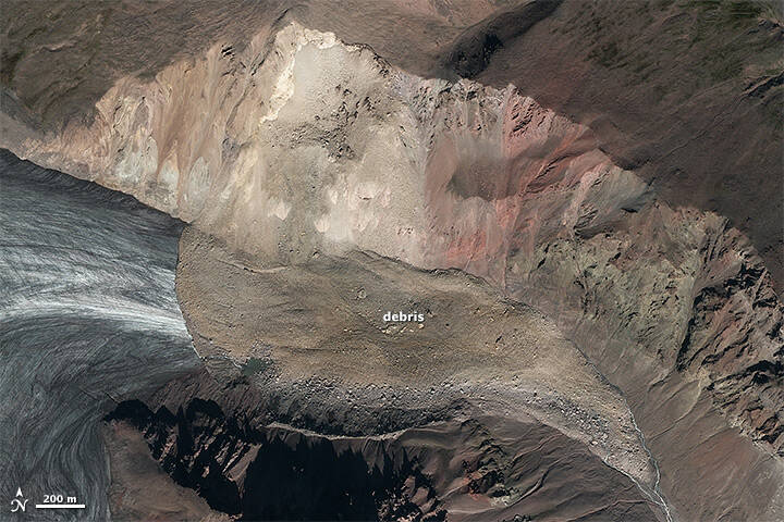
NASA has awarded the prestigious NASA Software of the Year (SOY) Award to a team of scientists and engineers at the Earth Sciences Division of NASA’s Goddard Space Flight Center in Greenbelt, Maryland. The team received the SOY award for developing a data-driven software tool called the Landslide Hazard Assessment for Situational Awareness (LHASA) version 2.0. that is designed to provide situational awareness for rainfall-triggered landslide hazard events at any location around the world.
SOY is NASA’s highest commendation for software excellence. The award is annually presented by NASA’s Inventions and Contributions Board to “NASA-developed software that has significantly enhanced the agency’s performance of its mission and helped American industry maintain its world-class technology status.”
This is only the second time in the past 17 years that a team from Goddard has won the SOY Award. Members of the LHASA development team include Dalia Kirschbaum, Thomas Stanley, Robert Emberson, Pukar Amatya, Garrett Benz, Marin Clark, Patrice G. Cappelaere, and William Medwedeff.
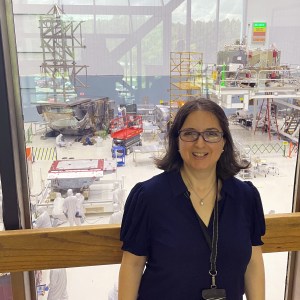
“Our team is thrilled,” said Kirschbaum, director of the Earth Sciences Division. “It is a testament to all of the hard work by a lot of people to pull this together. We have been working on this for over 10 years and have focused on how we can advance the science and work closely with stakeholders around the world to make an impact. It is exciting to be recognized for LHASA’s scientific as well as technological achievements.”
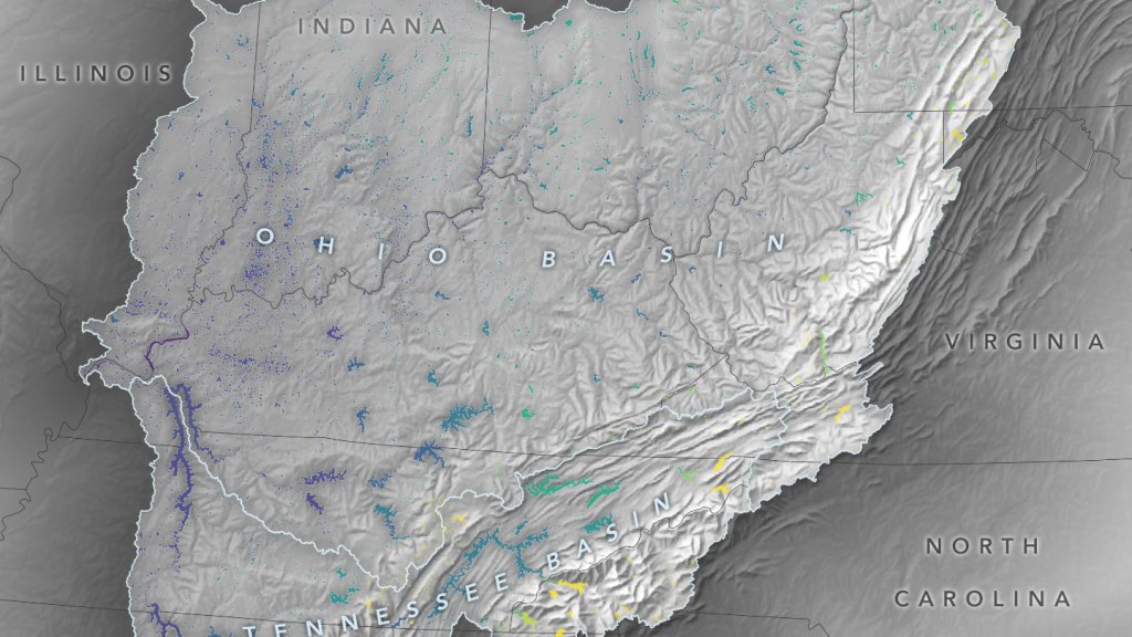
LHASA is a system that incorporates landslide data inventories from around the world within a machine-learning framework to estimate the relative probability of a landslide occurrence. LHASA considers landslide hazard over space and time on a roughly one-kilometer grid size worldwide, from 60 degrees North to 60 degrees South latitude. These hazard estimates are intended to enable improved awareness and help facilitate disaster planning and response from regional to global scales and across a broad range of stakeholders, such as government agencies, relief organizations, emergency responders, and insurers.
“I think LHASA represents an important step toward helping communities understand where and when landslide hazards happen all over the world,” said Kirschbaum. “I hope that people take this model and use it regionally to get a better understanding of what is triggering landslide hazards in their area.”
A free and open-source software, LHASA can be found on and downloaded from the Landslides@NASA website at: https://landslides.nasa.gov. On this site, the public can report a landslide via the Citizen Science Landslide Reporter tool, view a landslide, obtain other relevant source data, learn more about NASA’s landslide modeling efforts, collect landslide information and peruse other related items.
Samantha Kilgore
NASA’s Goddard Space Flight Center, Greenbelt, Maryland
samantha.kilgore@nasa.gov

