On a changing planet, where phenomena like severe hurricanes, landslides, and wildfires are becoming more severe, scientists need data to assess and model disaster impacts and to potentially make predictions about hazards. NASA’s C-20A aircraft is a significant asset that can carry key instruments for understanding the science behind these phenomena.
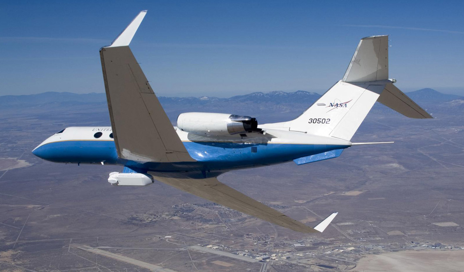
Based at NASA’s Armstrong Flight Research Center in Edwards, California, the C-20A is a military version of the Gulfstream III business jet and operates as an airborne science aircraft for a variety of Earth science research missions.
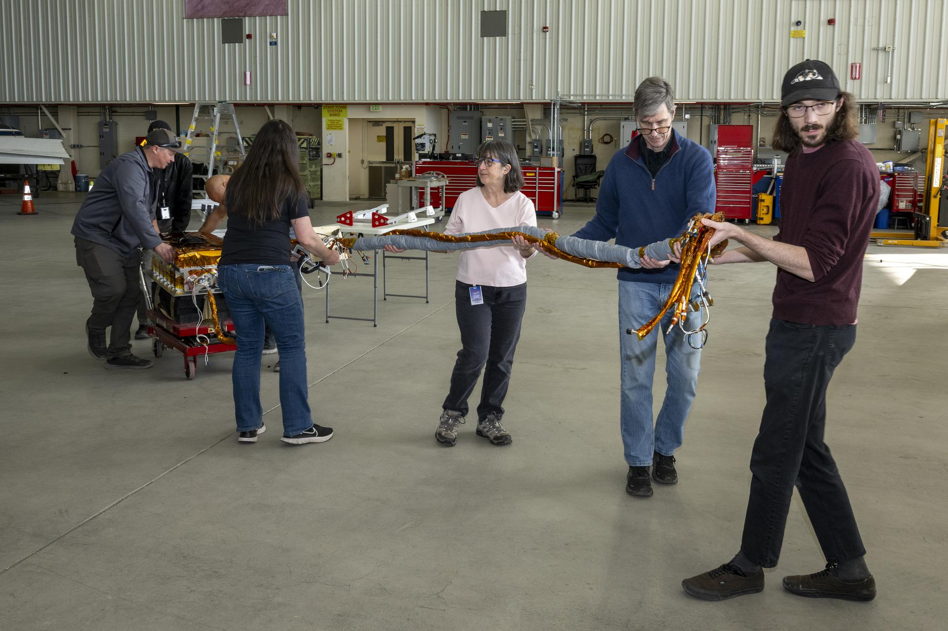
In October, the plane was deployed to fly over areas affected by Hurricane Milton. With winds of up to 120 miles per hour, the hurricane hit the Florida coast as a category 3 storm, and produced lightning, heavy rainfall, and a series of tornadoes. In the aftermath of the storm, the C-20A was outfitted with the Uninhabited Aerial Vehicle Synthetic Aperture Radar (UAVSAR) instrument to collect detailed data about the affected flood areas.
“Our team focused specifically on inland river flooding near dense populations, collecting data that could help inform disaster response and preparation in the future,” said Starr Ginn, C-20A aircraft project manager. “By all indications, this rapid response to support Hurricane Milton recovery efforts was a successful coordination of efforts by science and aircraft teams.”
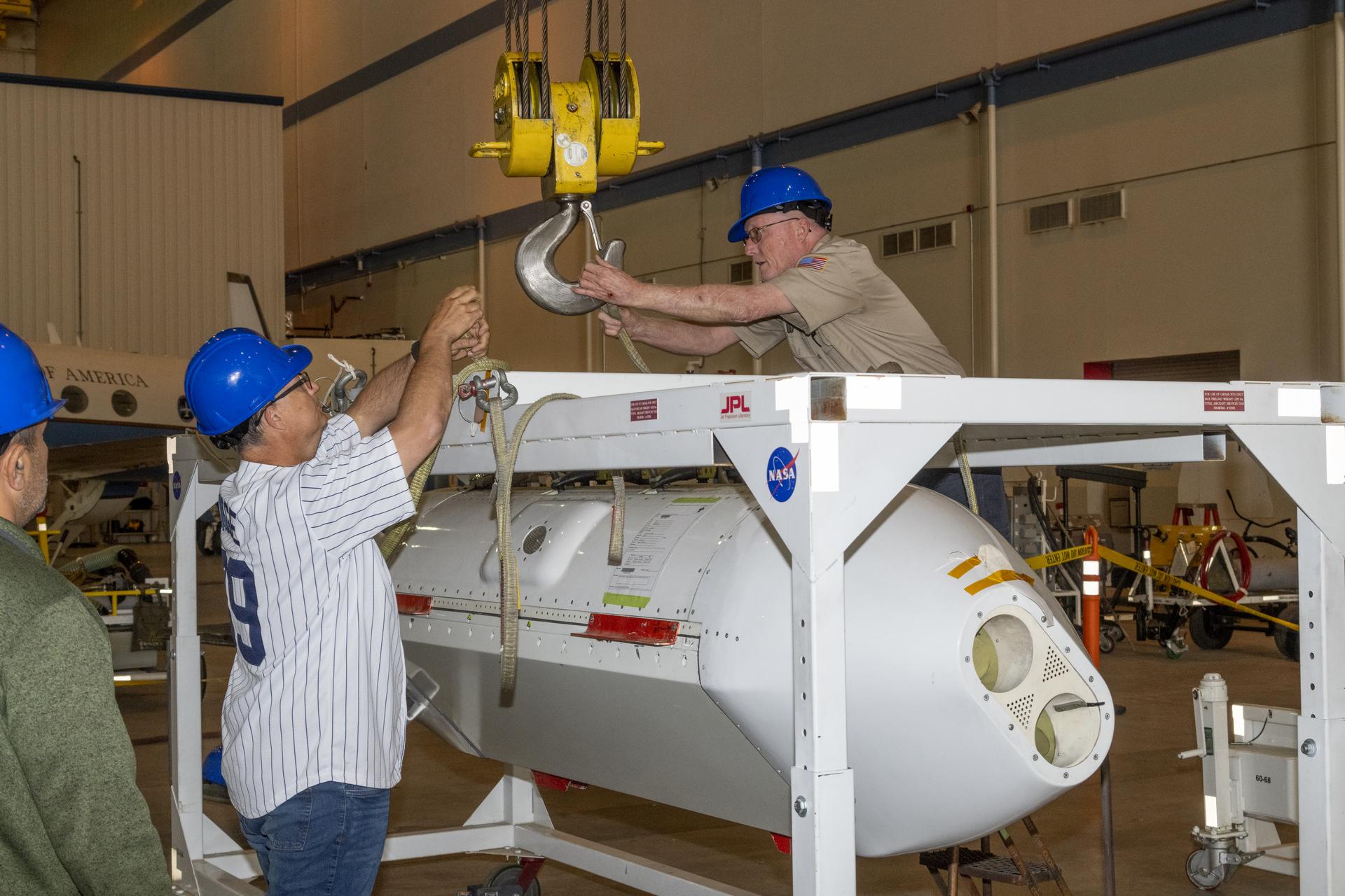
The UAVSAR was developed by NASA’s Jet Propulsion Laboratory in Southern California, and uses a technique called interferometry to detect subtle changes to Earth’s surface. Interferometry uses the intersection of multiple wavelengths to make precise measurements. This detection system effectively measures the terrain changes or impacts before and after an extreme natural event.
When flown onboard an aircraft, radars like the UAVSAR can also provide more detail than satellite radars. “Where satellite instruments might only get a measurement every one to two weeks, the UAVSAR can fill in points between satellite passes to calibrate ground-based instruments,” Ginn said. “It takes data at faster rates and with more precision. We can design overlapping flights in three or more directions to detect more textures and motions on the Earth’s surface. This is a big advantage over the one-dimensional line-of-sight measurement provided by a single flight.”
The C-20A team also used the UAVSAR in October to investigate the Portuguese Bend landslide in Rancho Pales Verdes. The Portuguese Bend Landslide began in the mid- to late-Pleistocene period over 11,000 years ago. Though inactive for thousands of years, the landslide was reactivated in 1956 when a road construction project added weight to the top of it. Recently, the landslide has been moving at increasing rates during dry seasons.
NASA’s JPL scientists, Xiang Li, Alexander Handwerger, Gilles Peltzer, and Eric Fielding have been researching this landslide progression using satellite-based instruments. “The high-resolution capability of UAVSAR is ideal for landslides since they have relatively small features,” said Ginn. “This helps us understand the different characteristics of the landslide body.”
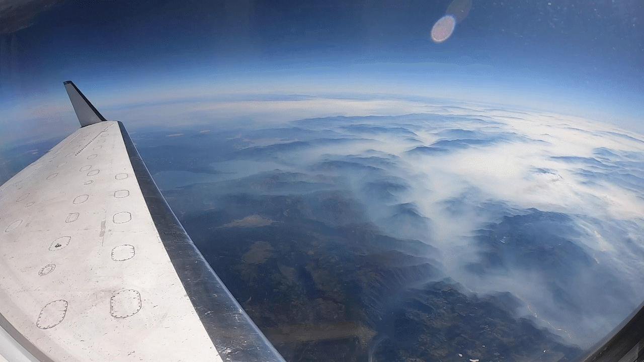
The C-20A airborne observatory also provided crucial insight for studies of wildfire. The Fire and Smoke Model Evaluation Experiment (FASMEE), a multi-agency experiment led by the U.S. Department of Agriculture’s Forest Service Pacific Northwest Research Station, included flights of the C-20A. This experiment studied fire behavior and smoke.
“The airborne perspective allows FASMEE researchers to better understand fire behavior and smoke production,” said Michael Falkowski, program manager for NASA’s Applied Sciences Wildland Fire program. “Hopefully this data will help mitigate fire risk, restore degraded ecosystems, and protect human communities from catastrophic fire.”
Airborne data can inform how scientists and experts understand extreme phenomena on the ground. Researchers on the FASMEE experiment will use the data collected from the UAVSAR instrument to map the forest’s composition and moisture to track areas impacted by the fire, and to study how the fire progressed.
“We can explore how fire managers can use airborne data to help make decisions about fires,” added Jacquelyn Shuman, FireSense project scientist at NASA’s Ames Research Center in California’s Silicon Valley.

