The development of Fluid Lensing has drawn interest from a broad community of marine biologists, geologists, physicists and engineers. Their collaborative effort has helped further our understanding of how Fluid Lensing can be used to map coastlines and monitor shallow marine ecosystems, and has spurred the group to conduct field campaigns in American Samoa and Western Australia . An overview of our tests, field campaigns and scientific collaborations is shown below.
Verification and Proof of Concept
The following tests were conducted in a standard recreational swimming pool using a 22”x15” test target to verify Fluid Lensing’s ability to resolve optical distortions from moving waves. The test target is positioned at a depth of 12 feet from the surface of the pool. In this study, the camera is zenith pointing, recording images at 100 fps, broad spectrum, compressed video feed from a GoPro Hero 3. The test was repeated using the lab’s FluidCam high-resolution imaging systems (both visible and broadband NIR) in 2015. A sample raw image and the post-processed data from these tests are available online. Learn more.
3D High-Resolution Coastal Maps, American Samoa
The Fluid Lensing team traveled to Ofu Island in American Samoa as their first major field campaign of The Reactive Reefs Project. Equipped with fleet of commercially available quadcopters and cameras, the team collected over 1TB of image data and successfully reconstructed 3D maps of the ocean floor using Agisoft’s professional GIS software. These sub-cm resolution aerial maps were also used to create 3D printed dioramas of the Samoan reef. Learn more.
Stromatolite Mapping, Hamelin Pool, Western Australia
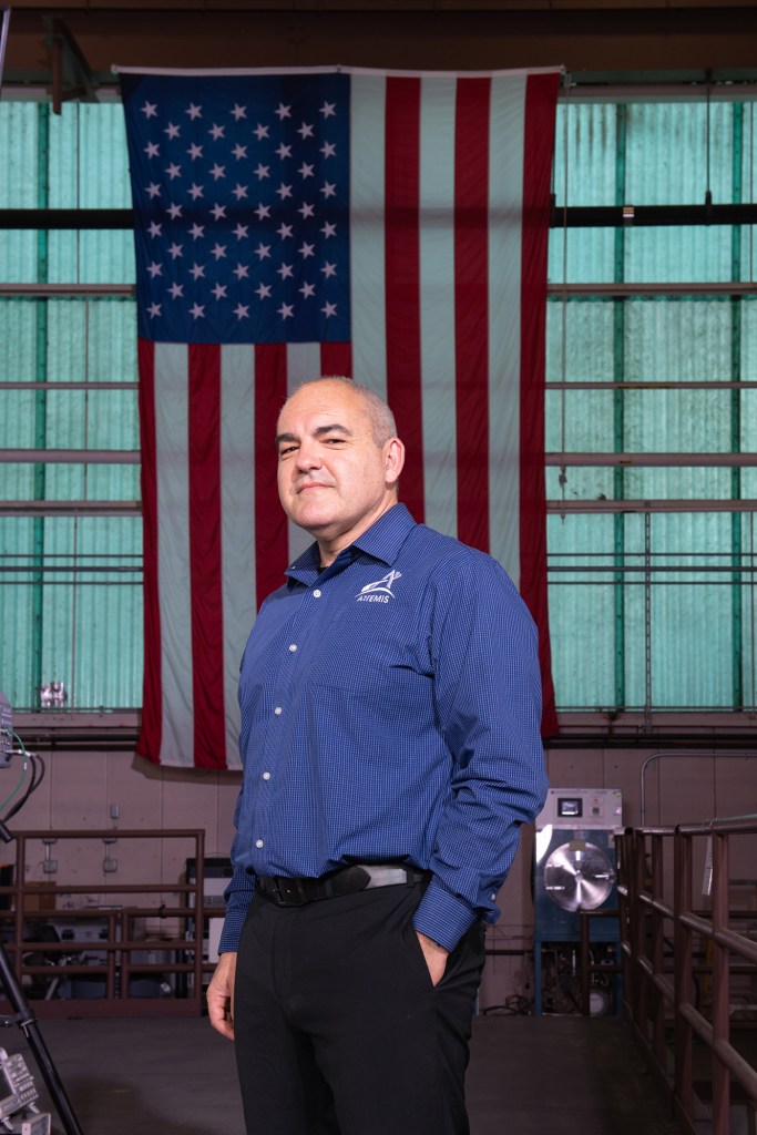
Alongside Dr. Pamela Reid’s research lab from the University of Miami, NASA Research Scientist Ved Chirayath traveled to Hamelin Pool in Western Australia to map and analyze stromatolites. The set of sub-cm resolution 3D maps generated from this campaign are of great interest to research teams in academia as well as NASA’s Astrobiology Department, who seek to uncover new knowledge about the history of our planet. Learn more.
Coral Species Classification
The ability to produce high resolution surface topography of shallow reef systems has increased the group’s interest in developing novel segmentation and classification algorithms over large datasets. One such study, completed at Stanford University, examines the accuracy of automated 3D living coral and carbonate structure identification and segmentation. Learn More.


