Airborne Science Missions and Projects at Ames
active projects
5
subject matter experts
4
Ames poc
Matthew Fladeland
Strategic Tac Radio and Tac Overwatch (STRATO)
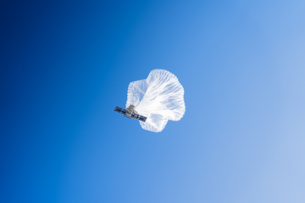
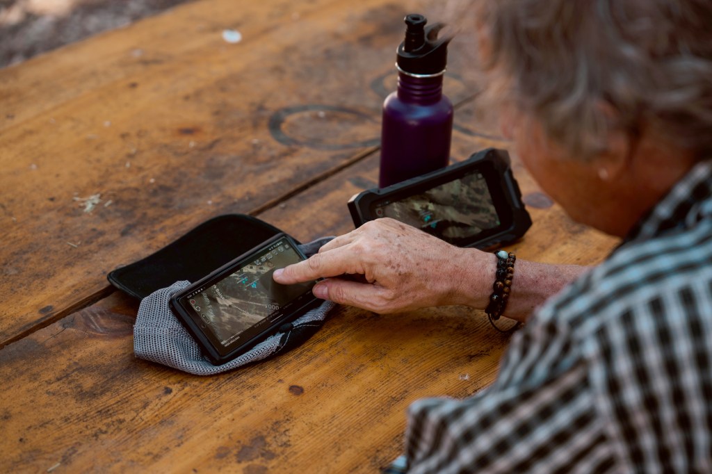
The Strategic Tac Radio and Tac Overwatch (STRATO) system is designed to provide real-time fire observations and last-mile communications with firefighters from stratospheric platforms. By providing persistent communications to a wildfire response team for a week or longer, STRATO is expected to offer capabilities beyond the currently used tethered balloons, which have a limited range and coverage area. By achieving station-keeping at altitudes up to 70,000 feet above ground level—to be demonstrated in flight testing—the STRATO will be able to provide communications to incident response teams in areas with no cellphone coverage.
Click here to learn more about STRATO about Strategic Tac Radio and Tac Overwatch (STRATO)
Mission Tool Suite (MTS)
MTS pulls together all flight resources — planning, communication, and situational awareness for NASA airborne missions as well as real-time telemetry from airborne and spaceborne platforms — in one place and allows accessibility in flight and from the ground simultaneously and in real time.
Click here to learn more about MTS about Mission Tool Suite (MTS)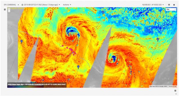
Airborne Sensor Facility (ASF)
ASF conducts engineering development of remote sensing instrumentation and real-time payload communications systems and supports their operational use on science field campaigns. The ASF maintains a suite of facility instruments that are made available for use by NASA-approved research projects, with all resulting data being made available free of charge through public archives.
Click here to learn more about ASF about Airborne Sensor Facility (ASF)
High Altitude Platform Systems (HAPS)
High Altitude Platform Systems (HAPS) are emerging aircraft and balloon-type technology that can host payloads and provide services from the stratosphere. One potential HAPS use case is to provide wireless communication services for mobile devices, such as LTE, to wildland firefighters who often operate in locations without terrestrial wireless communications coverage.
Click here to learn more about HAPS about High Altitude Platform Systems (HAPS)