What is the field of Airborne Science all about?
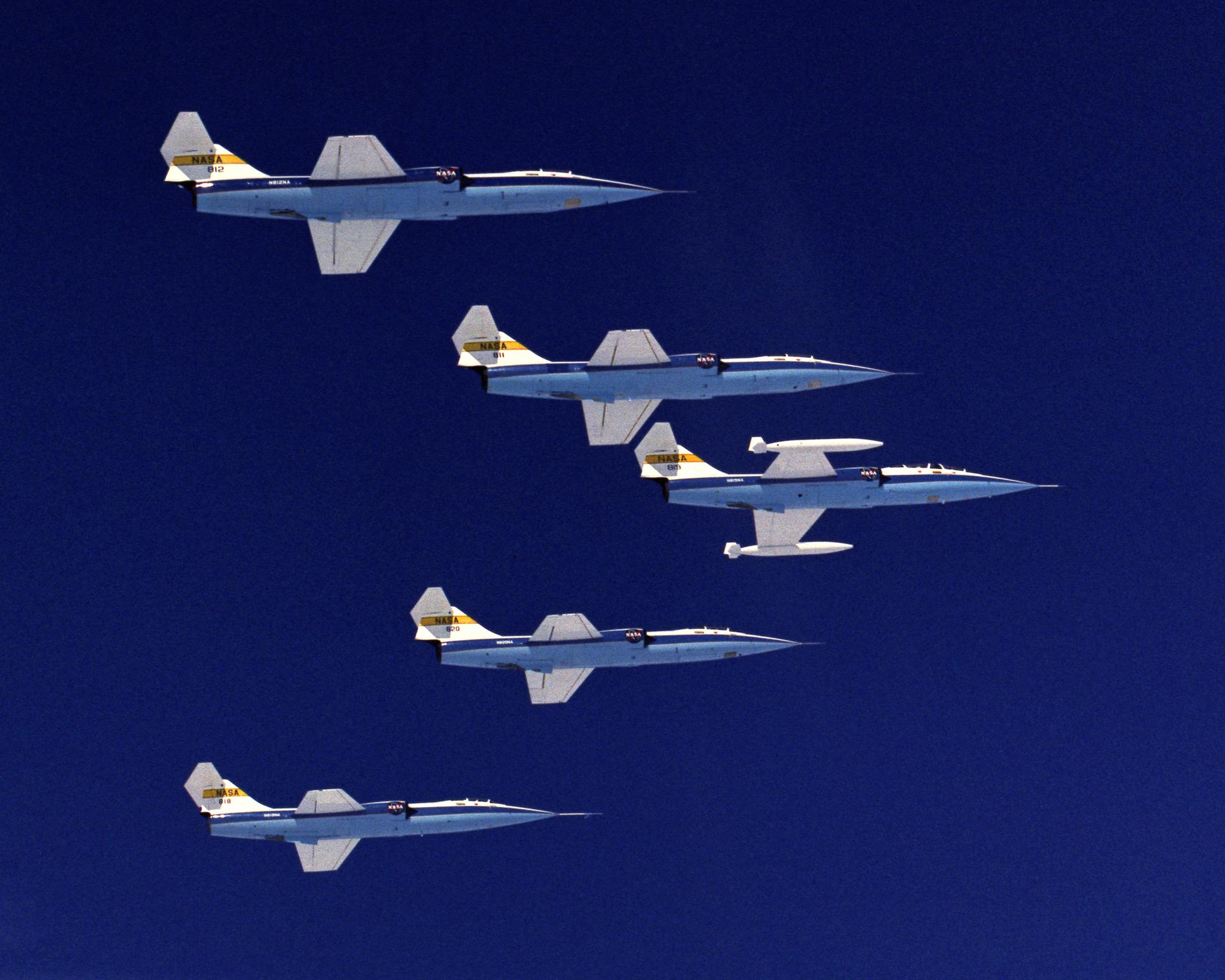
Airborne science is the use of aircraft to study the Earth System by flying scientists and their instruments thousands of feet in the air, in order to gather high-resolution imagery and measurements of the land, water, vegetation, and atmosphere.
Aircraft are also used to develop new instruments for future satellites. When new satellites are launched, the data they provide are coordinated with aircraft data and ground measurement data in order to calibrate the satellite sensors and enable more accurate measurements of the Earth.
Why is it important?
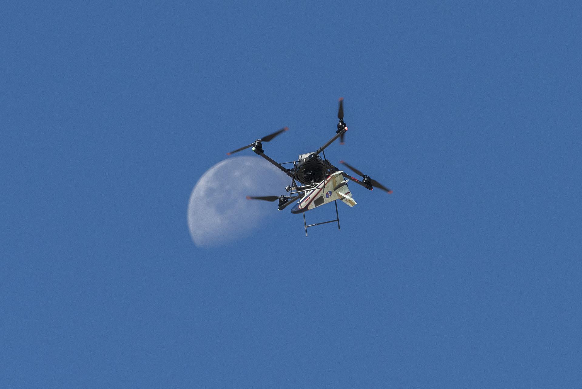
Crewed aircraft take scientists and their instruments into the field, gathering data and imagery from the air. Uncrewed aircraft can fly where it is unsafe for people to go, such as over mountain ranges or volcanoes, near wildfires, and through storms. As new observations lead to scientific breakthroughs, NASA continues to improve aircraft systems in order to push the envelope of where science can go.
Airborne Missions & Programs
Airborne platforms contribute to research in a variety of fields.
Aircraft, both crewed and uncrewed, are critical components of missions and programs in almost every fields. Sensors mounted aboard these aircraft calibrate data from satellites and ground stations, perform in-situ measurements of atmospheric layers, and provide a birds-eye view of everything from fire to vegetation to ocean currents.
Read More About Airborne Missions and Programs
Airborne Instruments
The airborne science group at NASA Ames lends wings to a variety of sensors.
Sensors developed at Ames’ Airborne Sensor Facility serve many purposes, such as multispectral imaging for cloud and surface features (eMAS), providing meteorological data (MMS), or measuring specific atmospheric gas concentrations (ROZE).
Read More About Airborne Instruments