The way we move around cities of the future may be built on it.
Great promise lies within it – for more efficient agriculture, more effective disaster response, smoother package delivery, and much more.
And, now, its job completed, NASA’s Unmanned Aircraft Systems Traffic Management project, or UTM, is passing the torch.
UTM was a research project exploring all the elements needed to manage flights of the small, uncrewed aircraft commonly known as drones. The result was something totally new: an automated, decentralized system capable of coordinating an ever-growing number of flights.
Here’s a brief look at how the NASA team worked with partners from commercial industry and the Federal Aviation Administration, or FAA, to invent a whole new type of air traffic management.
Year 1: Getting off the Ground
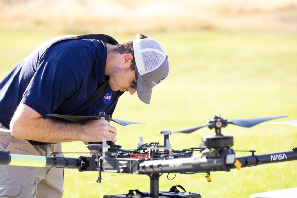
The UTM team set a series of increasingly ambitious goals for managing drone traffic and spent the year between each step designing and developing the necessary technologies. They called these four annual targets “technical capability levels,” or TCLs. The UTM research really got off the ground in August 2015 with the first annual flight test, TCL1, at NASA’s Ames Research Center in California’s Silicon Valley.
The team looked at ways drones could be used for rural operations within the pilot’s line of sight. The tests showed how drones flying in this setting could interact – with each other and the UTM software – as they performed different tasks. In the hypothetical scenario studied, one drone was taking photos of a wedding, while others surveyed a corn field. TCL1’s technologies focused on “rules of the road” for these aircraft, ways to schedule their flight plans, and geofencing, or designating a three-dimensional segment of the sky in which each drone flies.
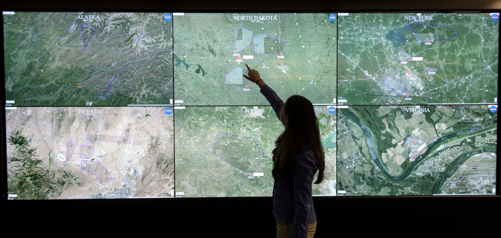
The following April, UTM “left home” and went for additional testing at six FAA sites around the country. Drone operators flew four vehicles simultaneously at each test site while interacting with the UTM platform, which checked the flight plans for conflicts, and approved or denied them. It also notified users of any constraints, such as challenging weather conditions like wind. Using UTM, team members remotely monitored flight activities at the test sites in Alaska, North Dakota, New York, Nevada, Texas, and Virginia.
Year 2: Outta Sight!
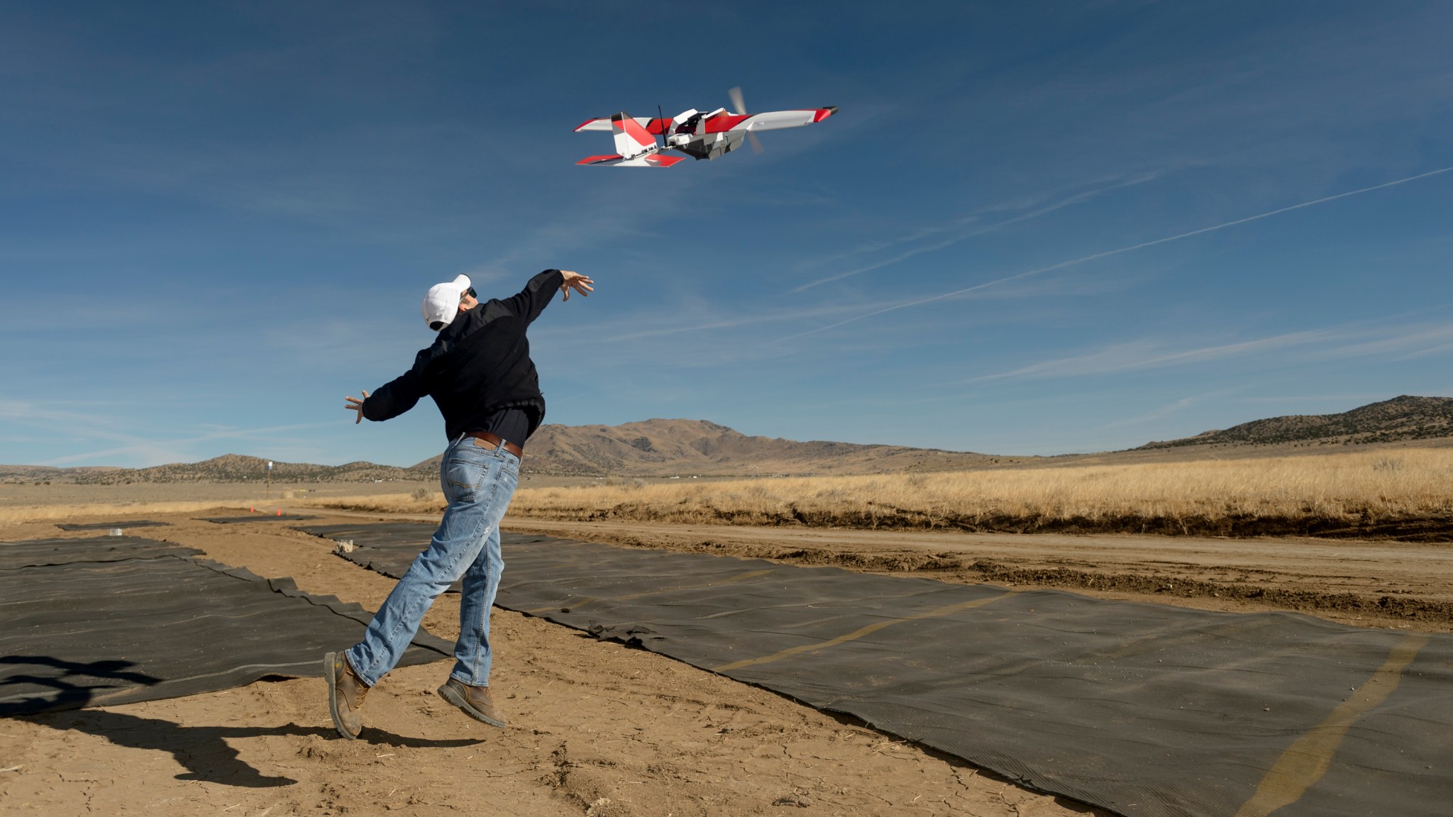
The test flights were out of sight in the second year of testing – literally. During TCL2, pilots flew drones farther than they could see them, over sparsely populated areas. Pictured here is a drone in flight at the FAA test site at Reno-Stead Airport, Nevada, in October 2016.
The researchers tested technologies for on-the-fly adjustment of the designated area in which a given drone can be flown, and for clearance of airspace for priority operations. This dynamic replanning of flights would let a drone monitoring traffic, for example, be reassigned in real time to aid in a search-and-rescue operation.
Year 3: Preparing for People
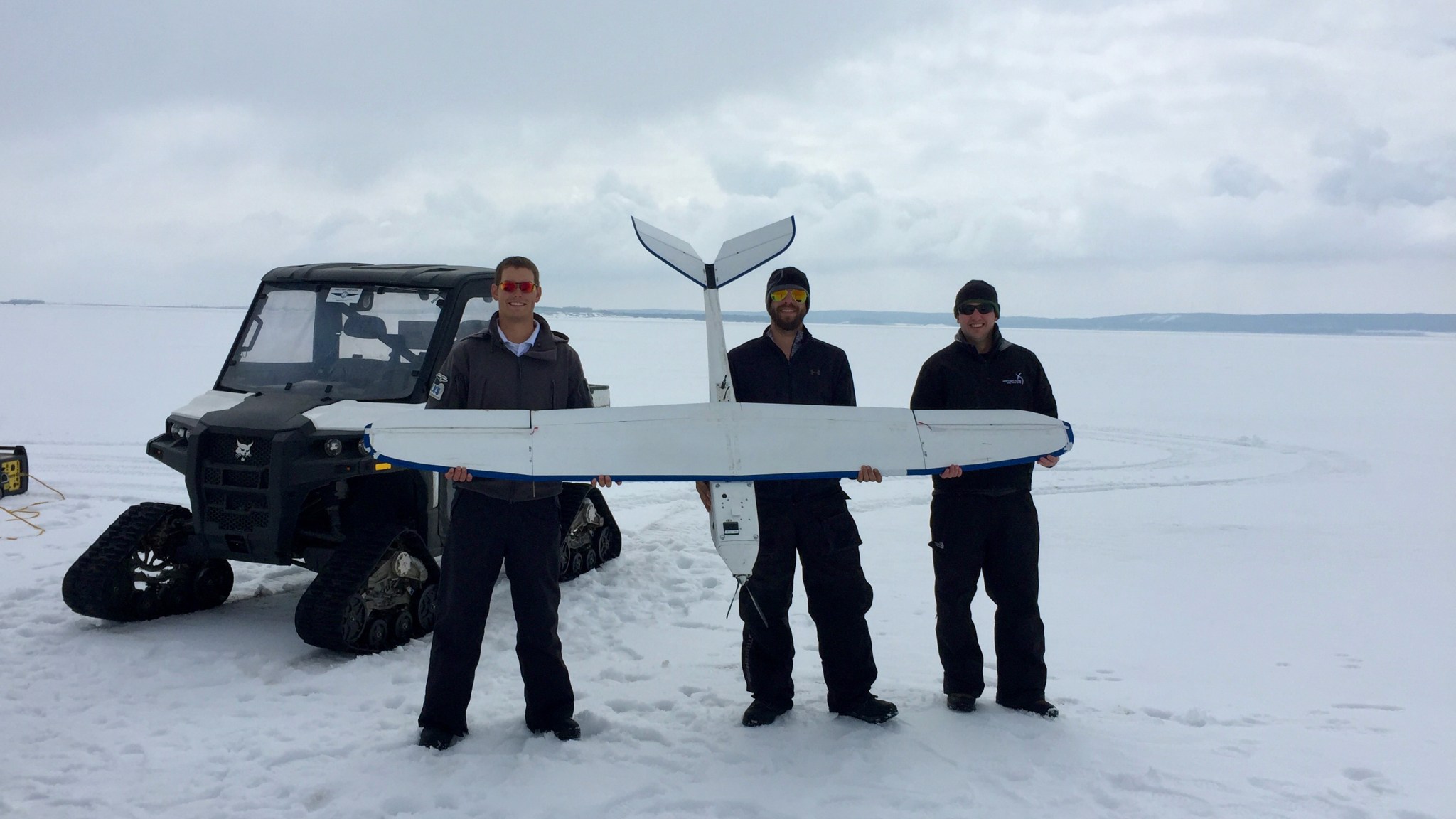
While continuing to study UTM’s solutions in the controlled environments of the FAA’s test sites – including in a wintry North Dakota landscape – the suburbs were on UTM’s mind for the third year of flight tests. The question was: what will it take to let drones fly safely around people? That is, in moderately populated areas and, again, beyond the pilot’s line of sight. During TCL3, for suburban uses – such as package delivery or public safety, like assisting the fire department’s response to a blaze – the team tested technologies for drones to detect and avoid each other and to help keep them safely spaced out and flying in their designated zones.
By allowing pilots to define the limits they plan to fly within and notifying all other pilots in the area, the UTM system can help keep all flights safely separated – a big step toward allowing them to operate in the airspace.
Year 4: Ready for the Big City
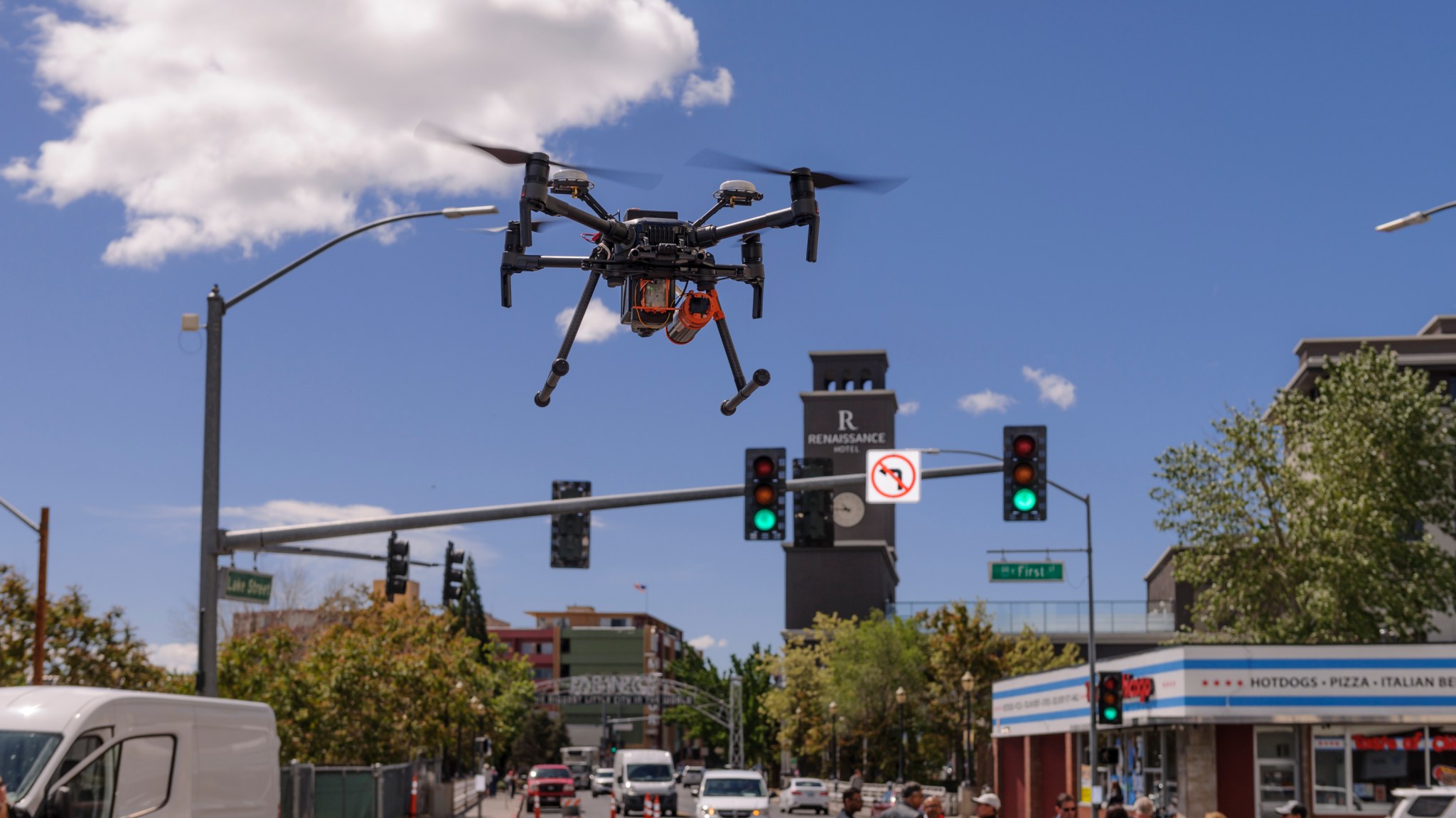
In UTM’s fourth and final year, the team was ready to hit the big city. Reno, Nevada, and Corpus Christi, Texas, became venues for testing traffic management tools needed to fly drones safely in densely populated urban areas. A drone is pictured here flying in downtown Reno for street-level testing in May 2019.
Cities come with unique challenges, and the UTM system and new technologies both onboard the drones and on the ground were tested in TCL4 to address these. More localized weather predictions were integrated into flight planning. Cell phone networks were used to enhance drone traffic communications. Cameras, radar, and other ways of “seeing” ensured drones could maneuver around buildings and land when needed. And, while all this was going on, the aircraft were communicating with each other and with users of the UTM system.
Onward and Upward with UTM
As the UTM project neared completion, during a final technical exchange meeting, the FAA described UTM as “…not only groundbreaking but really forging the future of aviation.” The UTM team had invented an entirely new way of handling the airspace: a style of air traffic management where multiple parties work together to provide services. UTM’s research results were transferred in stages to the FAA, which continues testing and is implementing the system with industry partners.
By the time the project officially wrapped up in May 2021, several efforts had already emerged to apply UTM’s concepts and capabilities to even more realms such as managing traffic for the flying taxis envisioned for our cities, and flights of jets and even balloons at very high altitudes not currently covered by traditional air traffic management. Onward and upward!
For news media: Members of the news media interested in covering this topic should reach out to the NASA Ames newsroom.


