NASA high-end computing plays a key role in taking many agency missions from concept to application in the real world. From increasing accuracy of global weather forecasts for forecast entities (like NOAA) to warn of severe storms, to designs for future air taxis to safely fly people around urban areas, to parachute design tests for landing spacecraft on the Moon and other planets, our supercomputing resources and experts are driving science and engineering advances for the benefit of humanity.
These projects and much more will be on display in the agency’s hybrid exhibit during SC23, the International Conference for High Performance Computing, Networking, Storage and Analysis. This year’s conference is being held in Denver, Nov. 12–17.
1. Simulating Air Taxi Safety Near the Ground
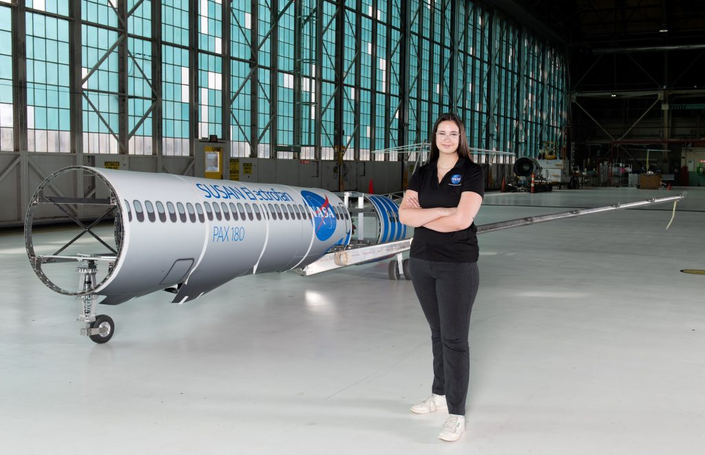
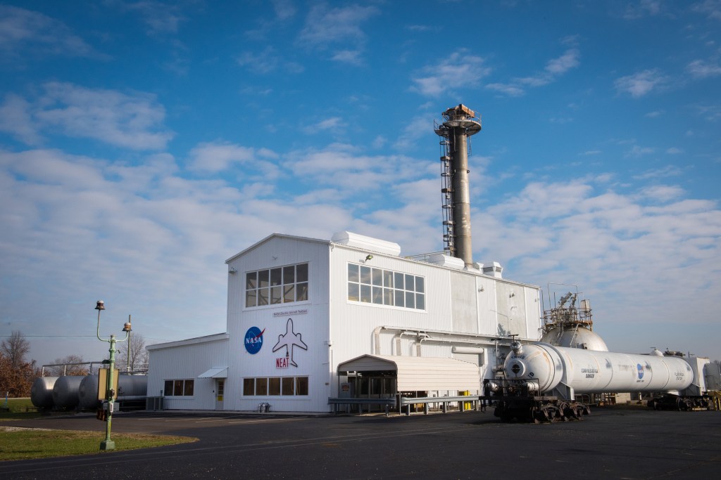
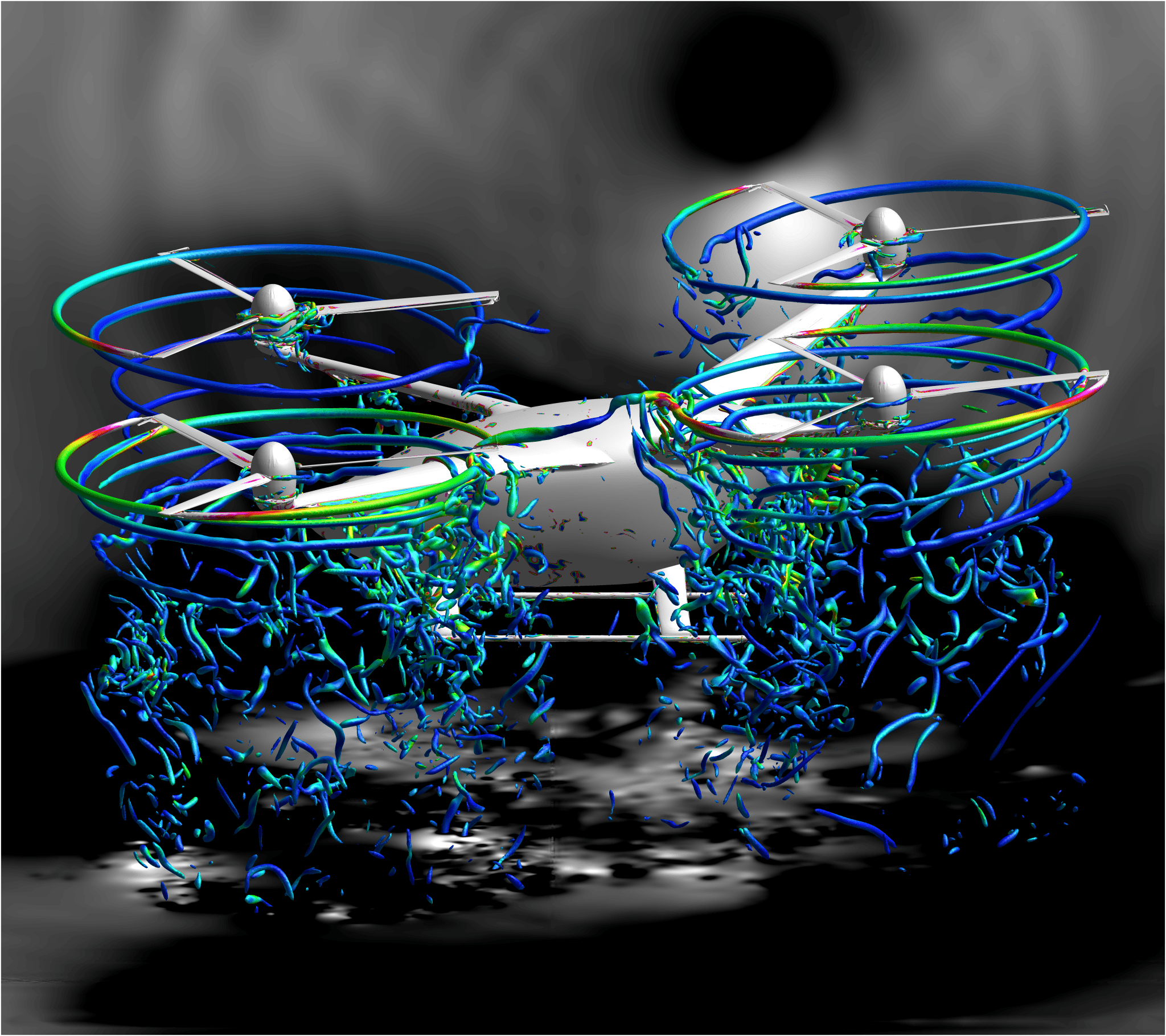
With the development of urban air mobility (UAM) vehicles, in the near future people might be hailing rides in air taxis. Researchers studying the aerodynamics performance of multiple UAM designs are focusing this year on simulations to analyze how these vehicles perform close to the ground. Many of the agency’s UAM aircraft concepts have rotors, just like helicopters. Supercomputers at the NASA Advanced Supercomputing (NAS) facility at NASA’s Ames Research Center in California’s Silicon Valley run complex, high-fidelity computational fluid dynamics simulations that capture in detail the interaction between rotors, other vehicle components, and the ground surface. These simulations enable scientists to better understand the vehicle aerodynamics and the rotor-induced flow around the vehicles to detect potentially dangerous areas with high winds and gusts. Simulation data allows the team to predict changes in how UAMs handle close to the ground and to provide guidelines for safe crew and passenger movement near the vehicles.
2. Predicting the Strongest Storms within a Global Computer Model
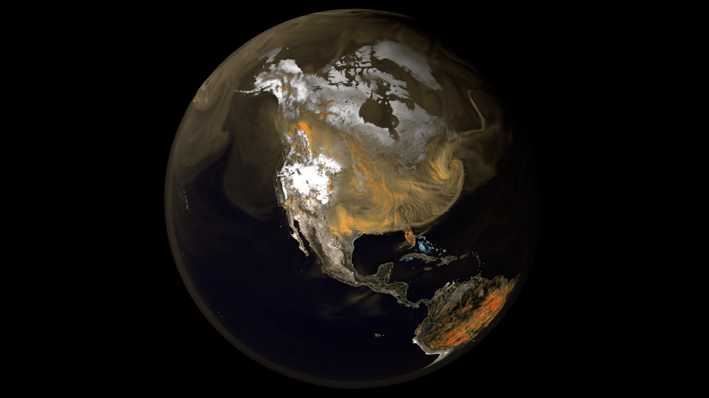
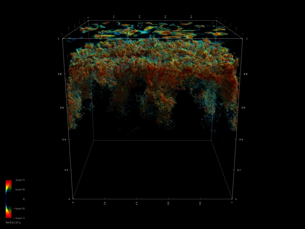
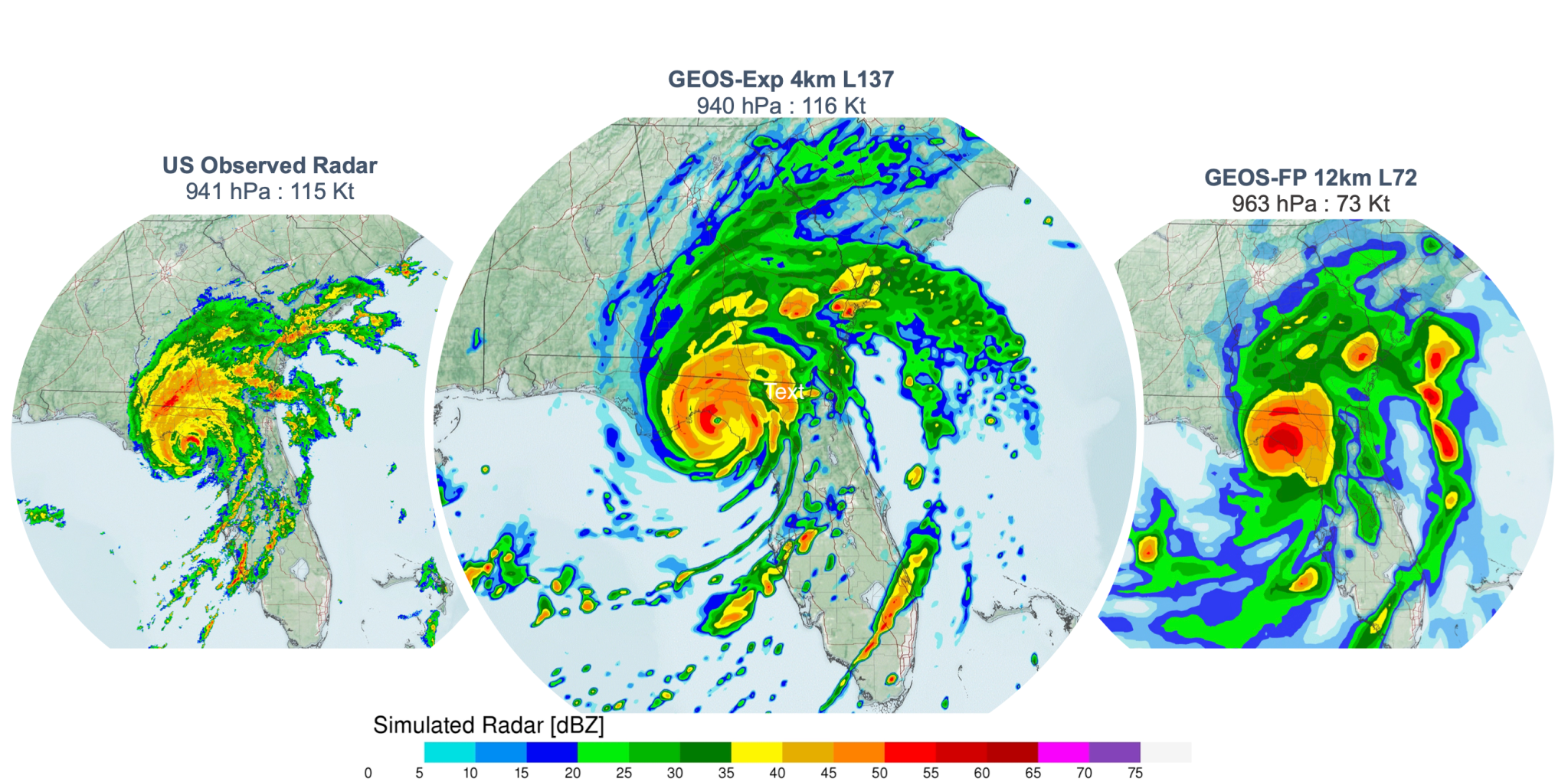
The common fuel for severe thunderstorms, tornadoes, and hurricanes is convection – vigorous up-and-down motions of the atmosphere that vertically transport heat and moisture. Operational weather forecasting centers typically predict convective-scale weather using regional, limited-area computer models because global models at convection resolving resolution need too much computing power. Researchers at NASA’s Goddard Space Flight Center in Greenbelt, Maryland, have adapted their global Goddard Earth Observing System (GEOS) model to apply finer grid resolutions of 2 to 4 kilometers (about 1.25 to 2.5 miles) over the continental United States. GEOS forecasts running on the NASA Center for Climate Simulation’s (NCCS’s) Discover supercomputer and NAS’s Aitken supercomputer are extending the predictability of the strongest storms beyond two days while better representing local impacts from intense precipitation, winds, and heat. Ongoing simulations accurately tracked extreme weather events of 2023 including hurricanes Idalia and Lee and tropical storm Ophelia.
3. Protecting Space Capsules During Planetary Entry, Descent, and Landing
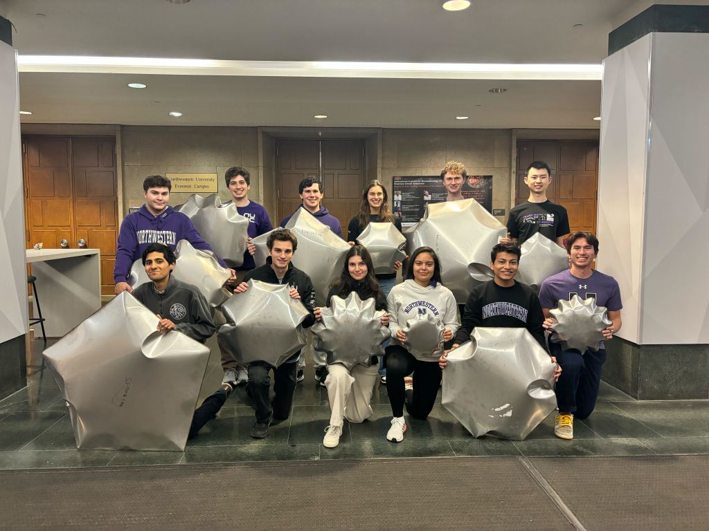
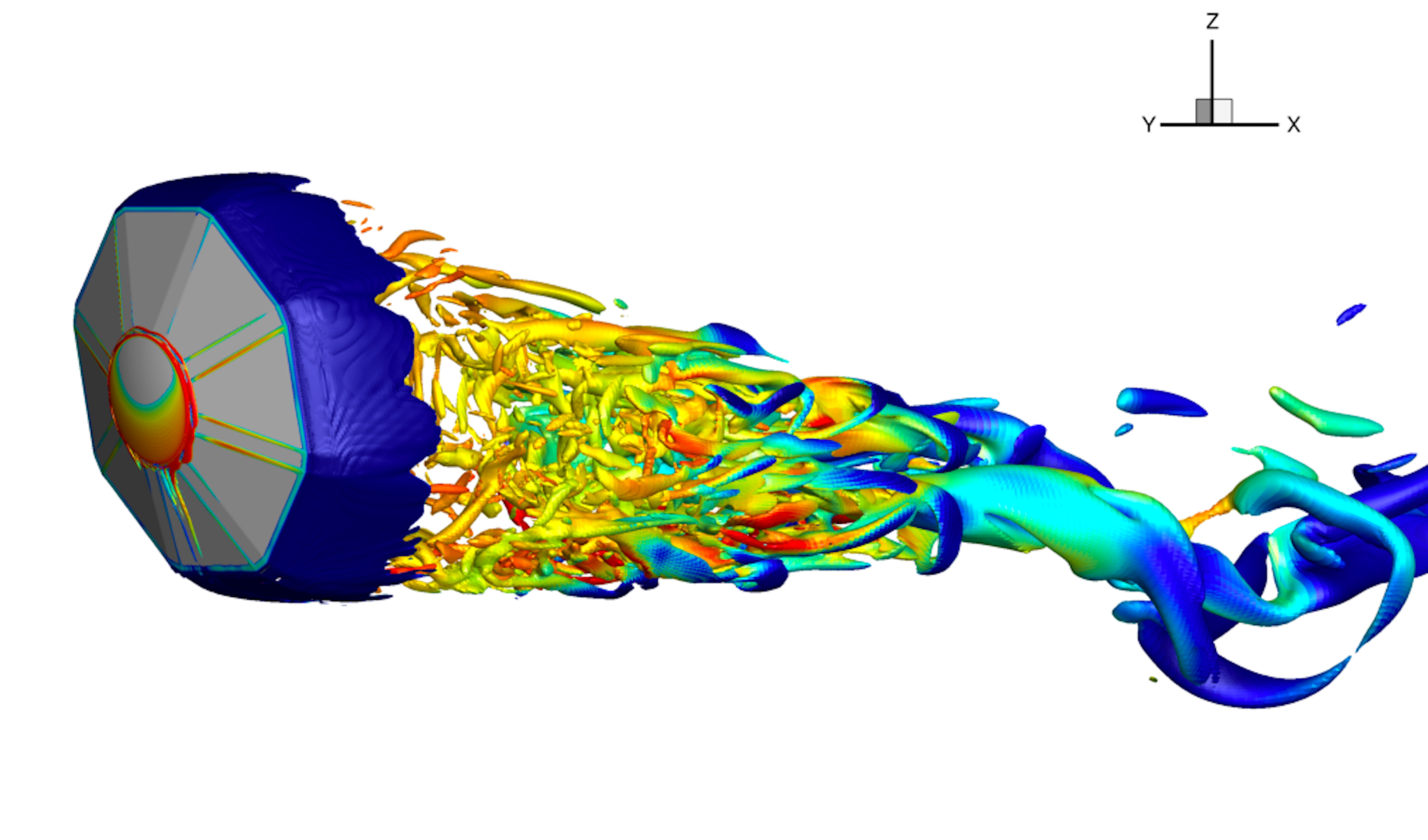
NASA space capsules are designed to survive entering planetary atmospheres at hypersonic speeds and protect their payloads – or their crew – from the extreme temperatures that occur during entry. In addition to heat, the spacecraft can also encounter instabilities as they are slowed down by aerodynamic drag during descent. To quantify and understand this additional hazard, researchers at NASA Ames used the agency’s Pleiades and Electra supercomputers to simulate the free-flight conditions of capsules during the full trajectory of planetary entry. These complex simulations are used to analyze capsule flight dynamics and identify any risks the instabilities may pose during the later stage of the flight trajectory. The resulting analyses help engineers design entry vehicles for planetary exploration, helping ensure the success of NASA programs including Artemis and the upcoming Dragonfly mission to Saturn’s largest moon, Titan.
4. Transforming and Depicting Earth Science Data
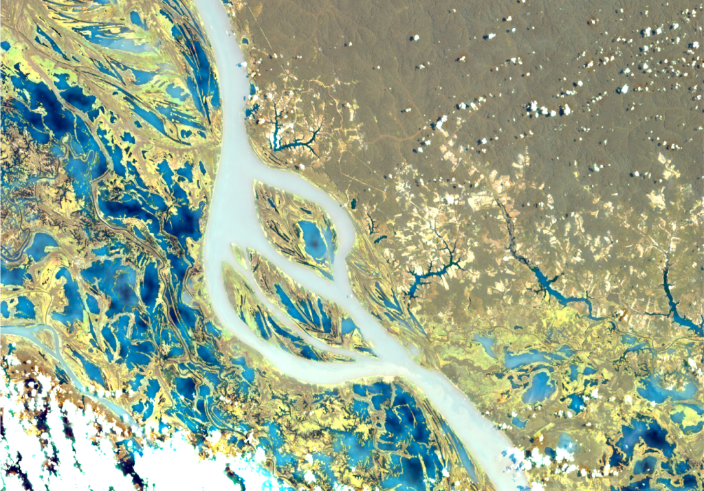
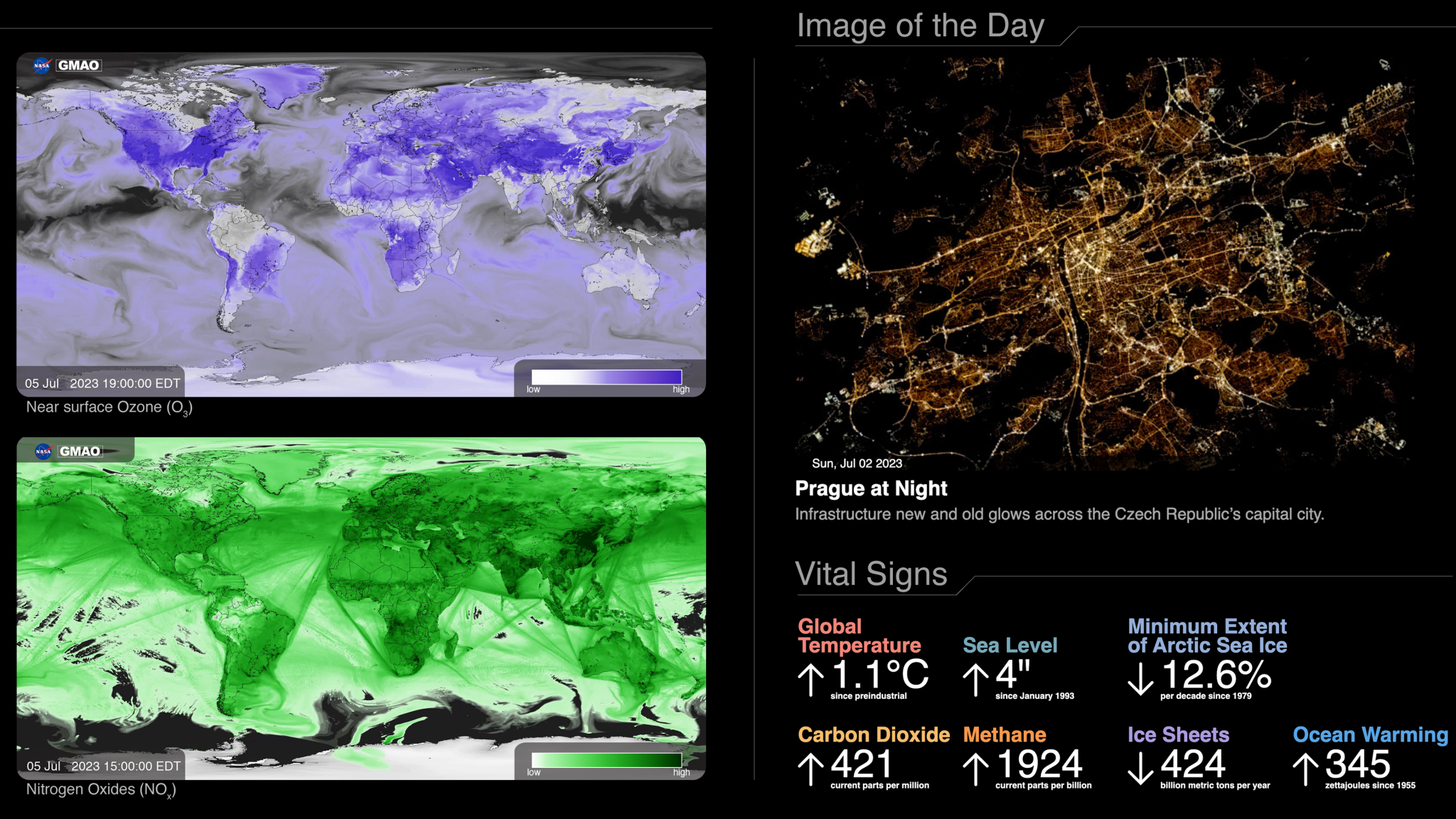
From the agency’s founding in 1958, NASA has been tasked with widely disseminating information about its activities and results. One new NASA public communication effort is the Earth Information Center (EIC), which presents visualizations of raw observational and model data across a set of dashboards arranged like a NASA Mission Control Center for our planet. The EIC installation at NASA Headquarters in Washington includes a multi-panel hyperwall for displaying large-format animations surrounded by smaller portals depicting a number of “vital signs” of the Earth. The diverse data sources include simulations run on the NCCS Discover supercomputer and observations from satellites and ground instruments maintained by NASA and partners. Since opening in late June 2023, the EIC has drawn a great variety of visitors, from dignitaries to elementary school students. In addition, EIC information is aiding policy makers, scientists, and NASA data users such as farmers, business owners, and researchers.
5. Using Autonomous Onboard Science Agents for Planetary Exploration
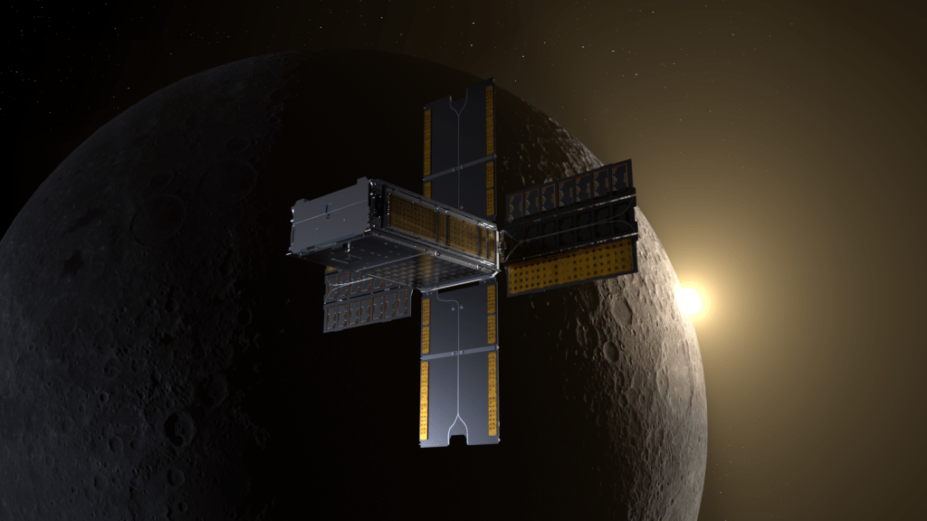
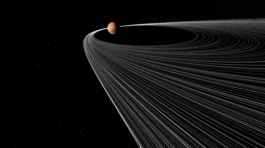
Researchers in NASA Goddard’s Distributed Systems Missions initiative are working to enable deep-space missions that are adaptable and can autonomously interpret and respond to newly-collected science data using an onboard software “agent” rather than waiting for new instructions from Earth at each phase of the mission. To test this new, autonomous mission design, they chose Enceladus, an icy ocean moon of Saturn and one of the most promising targets to search for life in our solar system. In a simulated mission scenario, the scientists modeled various trajectories and orbits of eight small spacecraft to produce what would be the first stable constellation around Enceladus to provide global coverage of the moon for collecting science observations. The team deployed their autonomous onboard science agent to analyze simulated data in “real-time.” The agent uses multiple machine learning models to process and interpret the relative amounts of various compounds detected in Europa’s icy plumes – indicators of the possibility of life – autonomously interprets those data, then makes decisions impacting follow-on analysis or prioritized data transmission based on pre-programmed mission goals.
For more information about supercomputers run by NASA High-End Computing, visit:
For news media:
Members of the news media interested in covering this topic should reach out to the NASA Ames newsroom.
Authors: Jill Dunbar and Michelle Moyer, NASA’s Ames Research Center, and Jarrett Cohen and Sean Keefe, NASA’s Goddard Space Flight Center

