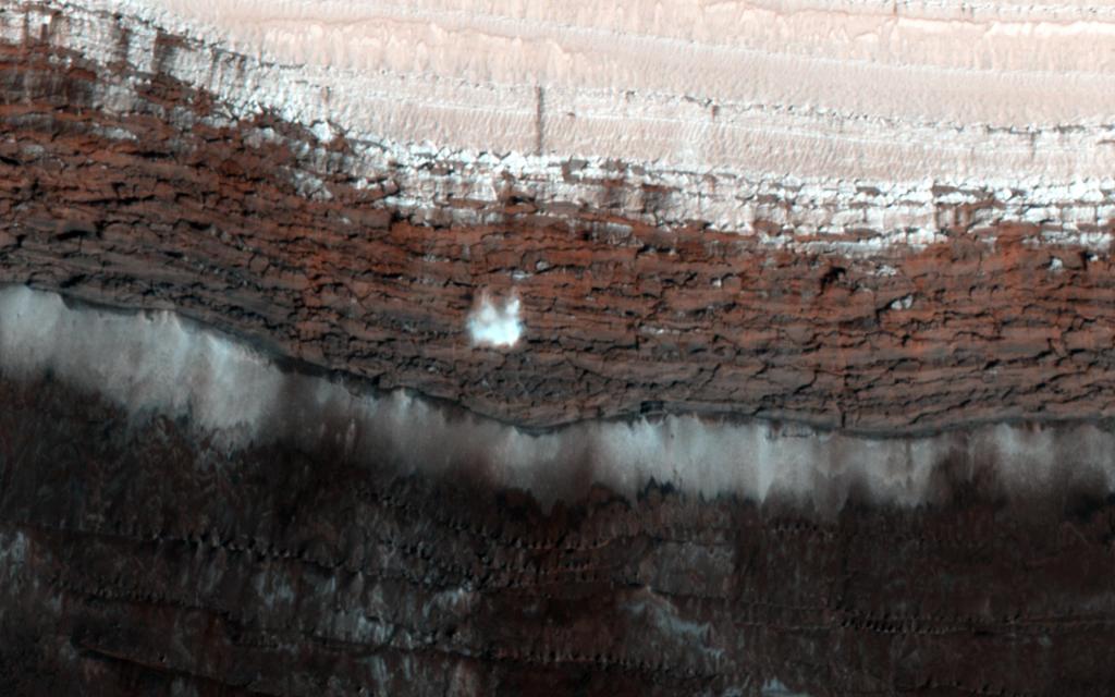
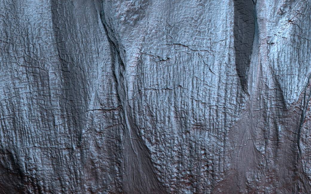
Gullies on Mars form during the winter, fluidized by carbon dioxide frost, and scientists monitor sites on the planet for activity throughout the year. In this mid-winter scene, a Martian gully is almost completely frosted over the pole-facing slope within the shadow.
The map is projected here at a scale of 50 centimeters (19.7 inches) per pixel. (The original image scale is 50.5 centimeters [19.9 inches] per pixel [with 2 x 2 binning]; objects on the order of 152 centimeters [59.8 inches] across are resolved.) North is up.
NASA’s Mars Reconnaissance Orbiter, launched August 12, 2005, continuously monitors the Red Planet from orbit and continues in its mission to search for evidence that water persisted on the surface of Mars for a long period of time.
Image Credit: NASA/JPL-Caltech/University of Arizona

