

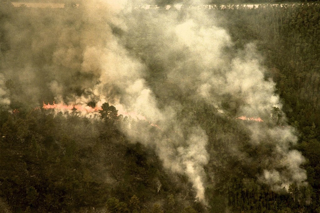


Queensland, Australia is on the brink of “catastrophe” from the devastation caused by this season’s bushfires. In fact, this is the first time in its fire danger history (on Nov. 28) that the ongoing bushfires have been rated as “Catastrophic” — the highest possible rating on the Queensland government’s warning scale. The unprecedented heatwaves across the area are making dry brush into a tinder box and bushfires are being set off in record numbers and intensity. Climate change is the main cause for the extreme weather in Australia. Close to 140 bushfires are raging throughout the territory and causing untold damage and displacing residents in the thousands. Record temperatures have continued for several days in a row and combined with high winds and hot, dry air, the wildfires have exploded and spread. What is most unusual is that this time of year is usually the wet season in Queensland, but not this year. In fact, meteorologists are predicting more hot, dry weather in the area and extending into the south and west across the country. Just to put this in perspective, according to the World Meteorological Organization, the 20 warmest years ever recorded were in the past 22 years. The four warmest have been the past four years. Authorities also believe that this dire situation of extreme weather will cause significant damage to Australia’s famous Great Barrier Reef.
NASA’s Earth Observing System Data and Information System (EOSDIS) Worldview application provides the capability to interactively browse over 700 global, full-resolution satellite imagery layers and then download the underlying data. Many of the available imagery layers are updated within three hours of observation, essentially showing the entire Earth as it looks “right now. This Suomi NPP satellite image was collected on November 30, 2018 using the VIIRS instrument. Actively burning fires, detected by thermal bands, are shown as red points. Image Courtesy: NASA Worldview, Earth Observing System Data and Information System (EOSDIS). Caption: Lynn Jenner with information from Queensland Government Fire and Emergency Services, World Meterological Organization, Queensland Rural Fire Service