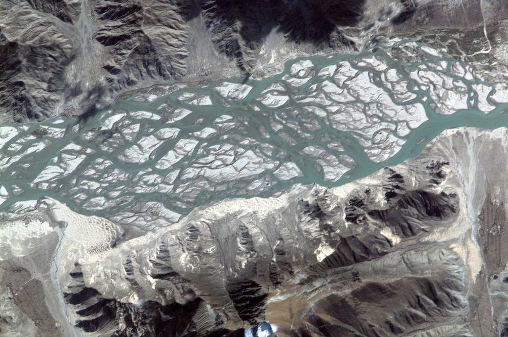
This view of Tibet’s Brahmaputra River was taken on Oct. 13, 2000, by the Expedition 3 crew. This Asian river carves a narrow west-east valley between the Tibetan Plateau to the north and the Himalaya Mountains to the south, as it rushes eastward for more than 1,500 km in southwestern China. This area pictured is a 15-km stretch south of the ancient Tibetan capital of Lhasa where the river flow becomes intricately braided as it works and reworks its way through extensive deposits of erosional material.Image Credit: NASA/JPL/Space Science Institute
1 min read


