About INSTEP
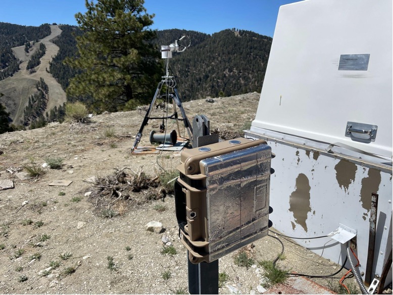
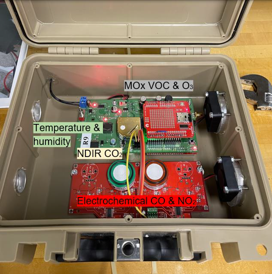
Inexpensive Network Sensor Technology for Exploring Pollution (INSTEP) is a network of low-cost gas sensors based on a design from the Hannigan Lab at the University of Colorado Boulder. The INSTEP monitors measure a variety of trace gases (CH4, HCHO, CO, CO2, NO2, O3), and use machine-learning enabled calibration to ensure accuracy.
Read more about INSTEP’s initial deployments in the San Francisco Bay Area and the Los Angeles Basin here.
Current Low-Cost Sensor Deployments
Citizen Science in California’s Central Valley
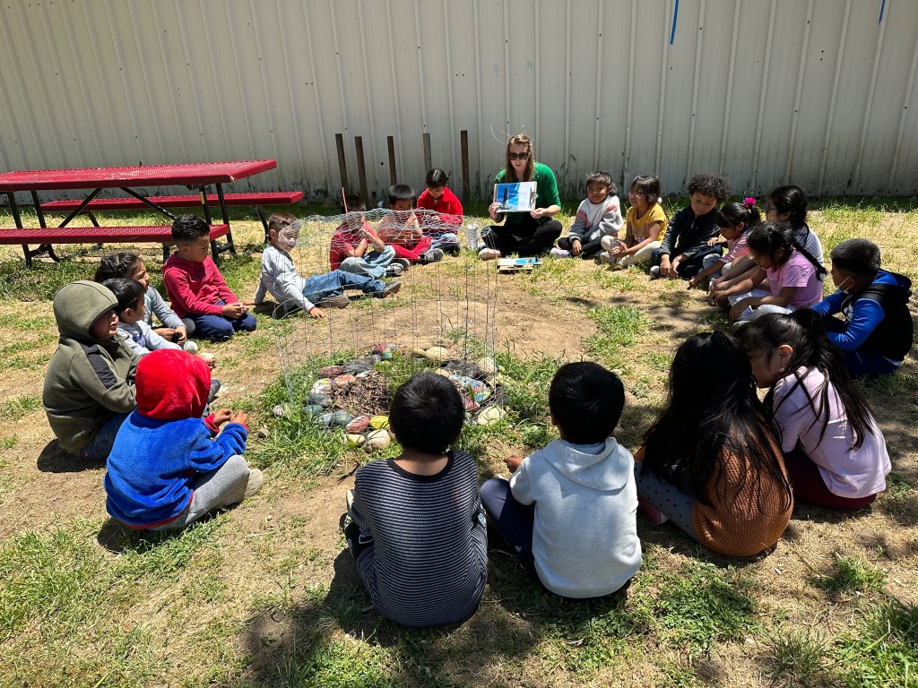
Starting in summer 2025, we plan to deploy a network of INSTEP sensors in California’s Central Valley to measure ground-level ozone. By partnering with the Central California Asthma Collaborative, this work will allow us to engage with communities and empower individuals to understand the health risks in their area.
Whittier College
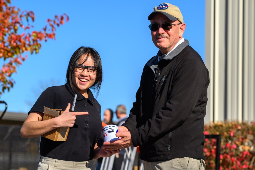
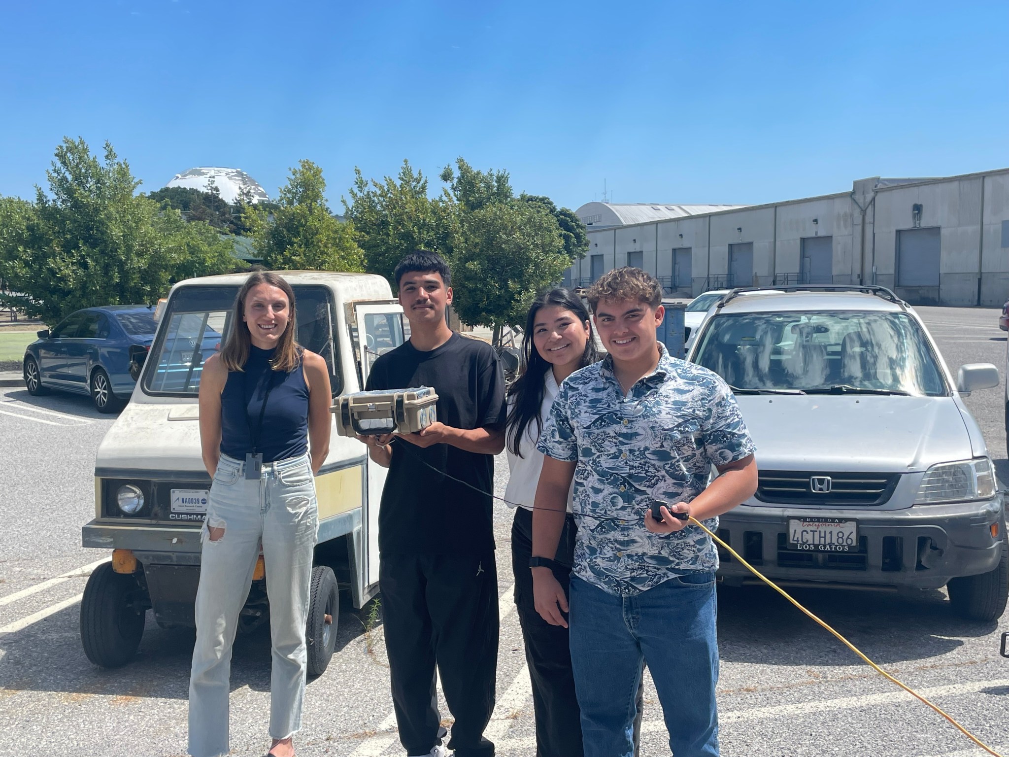
The Trace Gas Group at NASA Ames has partnered with Whittier College to build and deploy more INSTEP sensors on their campus in the greater Los Angeles area throughout 2024 and 2025. A cohort of students from Whittier has been selected to build the sensors each summer, and Professor Peter Peterson will utilize the sensor data with his students in the classroom.
AGES+ Field Campaigns in the Los Angeles Basin
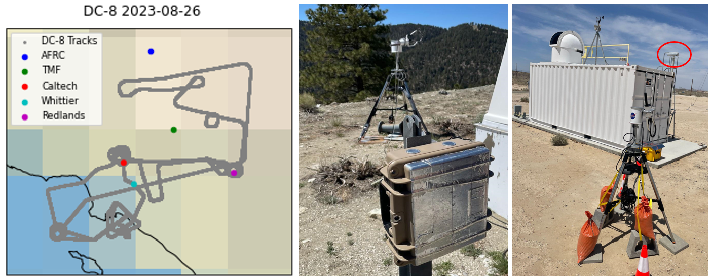
During the summer of 2023, we deployed INSTEP sensors in the Los Angeles Basin to coincide with two flight campaigns: NOAA’s Atmospheric Emissions and Reactions Observed from Megacities to Marine Areas (AEROMMA) and NASA’s Synergistic TEMPO Air Quality Science (STAQS). Preliminary results have focused on comparing our ground-base measurements of formaldehyde with co-incident airborne and satellite (TEMPO) measurements. Field data from the INSTEP sensors can be accessed here.
A Harmonized Low-Cost Sensor Database
Our recent review paper found that low-cost sensor networks are often lacking quality assurance and quality control, both within individual networks and generally. Data from universities and other research institutions, which tend to be the highest quality, are often among the most difficult to access.
In response, we are partnering with NASA’s Atmospheric Science Data Center to publish quality-assured air quality data derived from low-cost sensors. Data from each network will be clearly labeled with quality flags based on a robust rubric informed by the AQDx data format and other recent sensor unification efforts. This resource can be utilized by scientists as a comprehensive validation dataset for air quality models and satellite datasets, as well as by community members looking for more air quality data in their area.
Contact us if you would like your low-cost sensor data to be added to the database!


