


SERVIR
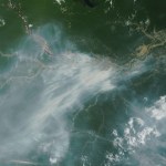
SERVIR works in partnership with leading regional organizations world-wide to help countries use information provided by Earth observing satellites and geospatial technologies. SERVIR’s hubs in West Africa, Eastern and Southern Africa, Hindu Kush-Himalaya, Southeast Asia, Central America, and South America manage challenges of food security, water resources, land use change, and disasters.
SERVIR Regions


Southeast Asia
Leveraging satellite and geospatial data to expand and scale climate actions

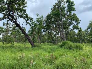
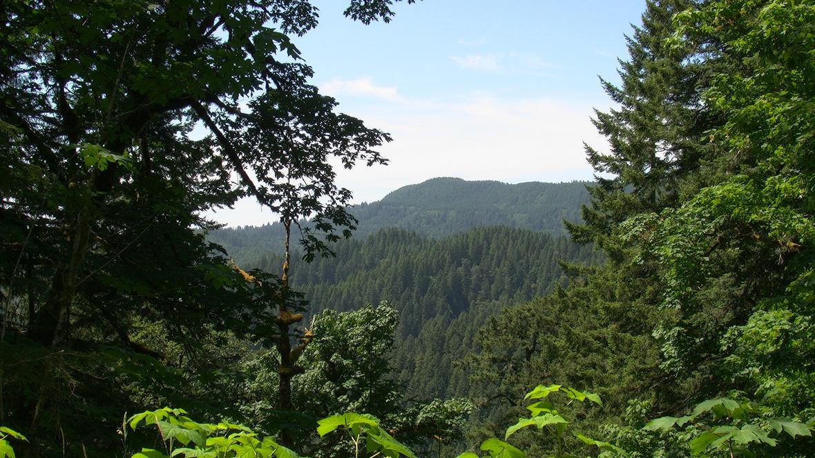
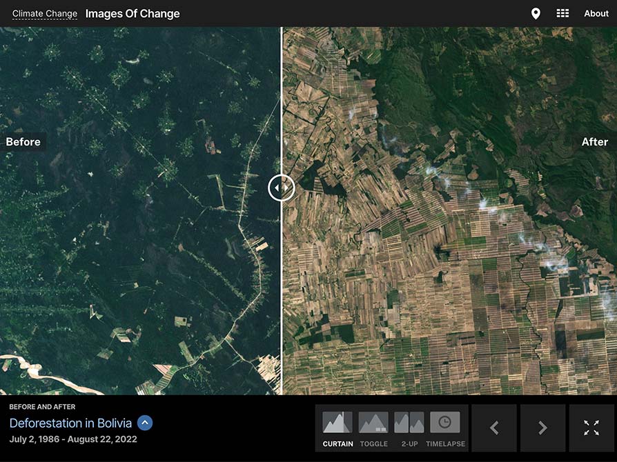
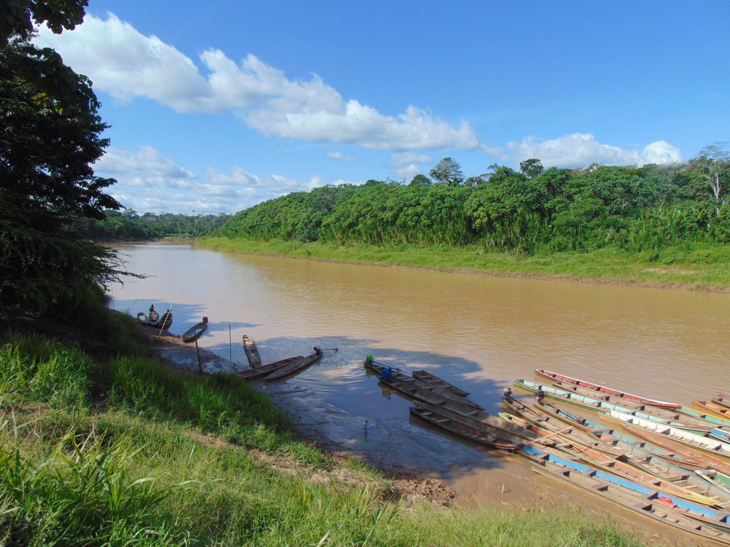
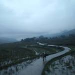
Tracking Forest Cover in Belize
Read the Story about Tracking Forest Cover in Belize
More News from SERVIR


SERVIR
SERVIR co-develops innovative solutions through a network of regional hubs to improve resilience and sustainable resource management at local, national and regional scales.
A joint initiative of the National Aeronautics and Space Administration (NASA) and United States Agency for International Development (USAID), and leading geospatial organizations in Asia, Africa, and Latin America, SERVIR partners with countries and organizations in these regions to address critical challenges in climate change, food security, water and related disasters, land use, and air quality.
Visit Website
History of SERVIR
NASA and Partners Work to Improve Life on Earth
Developed in 2004 by researchers at NASA’s Marshall Space Flight Center in Huntsville, Alabama, and implemented through NASA partnerships with leading regional organizations around the globe, SERVIR’s name is derived from the Spanish word meaning “to serve”. SERVIR provides critical information and support services to help national, regional and local governments, forecasters, climatologists and other researchers track environmental changes, evaluate ecological threats and rapidly respond to and assess damage from disasters.
Learn More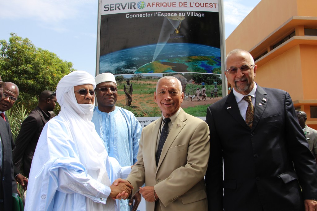
SERVIR Playlist
Since the mid-2000s, SERVIR has worked with over 250 institutions in more than 45 countries to develop over 70 custom tools and train more than 7,000 people.
Watch All SERVIR Videos